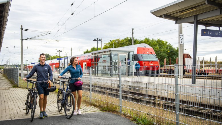
Wolkersdorf train station
Train stationDescription
The large and modern Wolkersdorf station is located in the district of Mistelbach on the Laaer Ostbahn line. In addition to gastronomic amenities, the substantial reception building also offers a tobacconist's, waiting rooms and publicly accessible sanitary facilities.
Four tracks and three platform edges can be reached largely barrier-free by means of underpasses and lifts, while a further track is used exclusively for freight traffic. Monitors, timetable displays and loudspeaker announcements ensure that passengers are kept as well informed as possible.
More than 880 parking spaces at the adjoining Park & Ride facility ensure a convenient and carefree transfer to the train. Space has been created for 440 bicycles in the Bike & Ride station.
Route connections
- Regional trains to Vienna Airport, Mödling and Laa an der Thaya are served here.
- Trains on the Vienna S2 rapid transit line run to Mistelbach and Mödling.
- Trains on the Vienna S7 rapid transit line also stop in the direction of Laa an der Thaya via Mistelbach and in the direction of the station at Vienna Airport.
- Numerous connecting buses to Gänserndorf and Vienna Floridsdorf as well as to Wolkersdorf center and on to the provincial capital St. Pölten can be reached directly from the bus terminal at Wolkersdorf train station.
- It is also possible to use the AST Wolkersdorf cab service from Wolkersdorf station.
Wolkersdorf Castle
Wolkersdorf Castle is less than 10 minutes from the train station. Formerly a moated castle, it has been owned by the municipality since 1969. Thanks to numerous cultural initiatives, a wide variety of events such as exhibitions and concerts take place here. During a guided tour of the castle, the rooms of the complex are accompanied by interesting information.


