Kremstal Trail
Use our AI guide
Do you have any questions about your stay?

Hiking tour Starting from Entry possible in every municipality
Bad Traunstein - Ottenschlag - Sallingberg - Lichtenau - Albrechtsberg - Kottes - Kirchschlag - Martinsberg - Bad Traunstein
Bad Traunstein - Ottenschlag - Sallingberg - Lichtenau - Albrechtsberg - Kottes - Kirchschlag - Martinsberg - Bad Traunstein
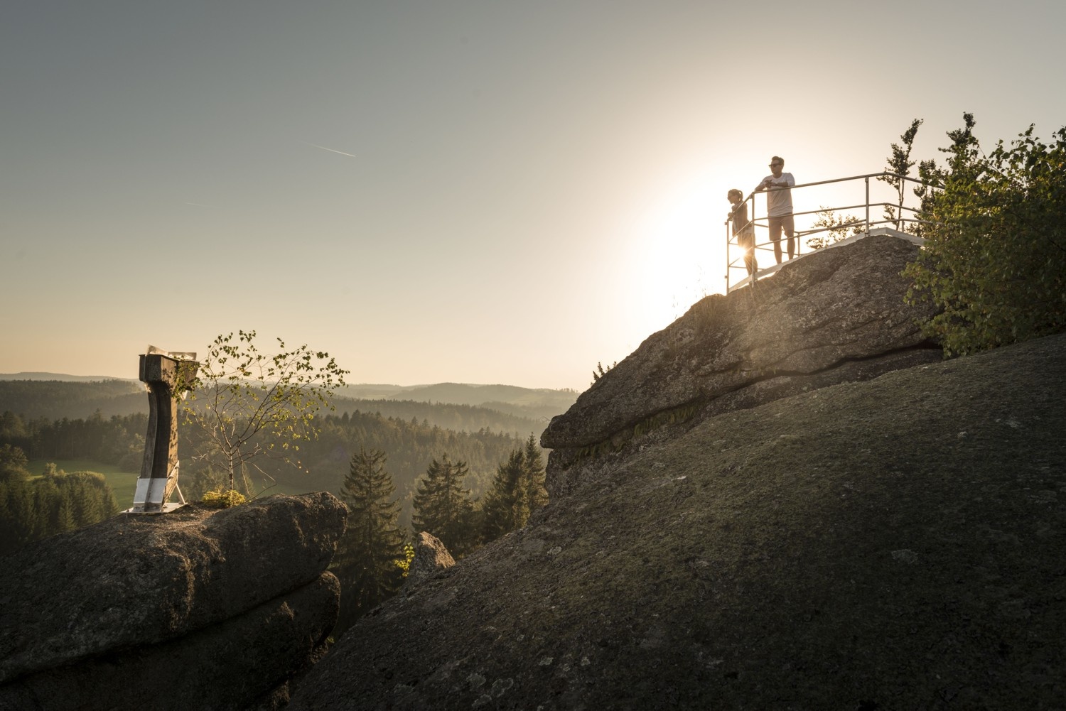
The 93-kilometer-long Kremstalweg trail winds through the plateaus and cool, shaded valleys of the Southern Waldviertel and, in addition to the hiking route, offers a wide range of activities for short breaks. Popular attractions here include the Gudenus Cave in Albrechtsberg, the herb garden, and the Wachtstein in Bad Traunstein.
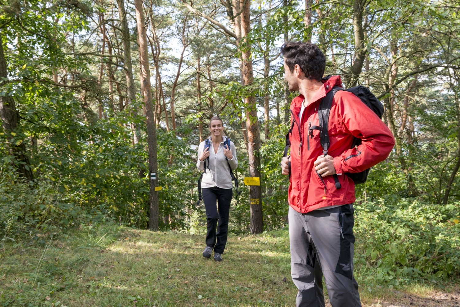
The circular route is uniformly signposted according to the quality criteria of the Lower Austrian hiking trail concept. Yellow signposts with black lettering and the number 625 guide the hiker safely through the region. The entire path is marked in both directions! Entry is possible in every municipality at the hiking starting point!
Estimated walking time: 2 to 3 days, depending on physical fitness and stage division
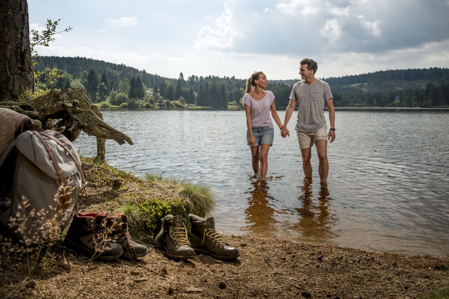
From the source of the Große Krems in the woods near the Vorderen Waldhäusern it goes downstream through Bad Traunstein, Sallingberg and Albrechtsberg until the confluence of the Große and Kleine Krems at the so-called Zwickl. Here the two unite and now flow as the Krems towards the Danube. The hiking trail now follows the Kleine Krems upstream. The hiker passes through Els, Kottes and Kirchschlag until the area of origin at the dispersed settlement Primassen is reached. Here we leave the Kleine Kremstal and return via Roggenreith, Martinsberg and Edlesberg to the start of the route.
Kremstalweg folder for download: http://www.waldviertler-kernland.at/kremstalweg/?download=Folder-Kremstalweg.pdf
Leider können wir Ihnen zum jetzigen Zeitpunkt keine Wetterdaten für den Ort anzeigen.
ARGE Kremstalweg
3631 Ottenschlag, Unterer Markt 10
Waldviertel Tourism
3910 Zwettl, Sparkassenplatz 1/2/2
(T) +43 2822 54109
(E) info@waldviertel.at
(I) www.waldviertel.at
Letzte Änderung: 12 Aug 2026