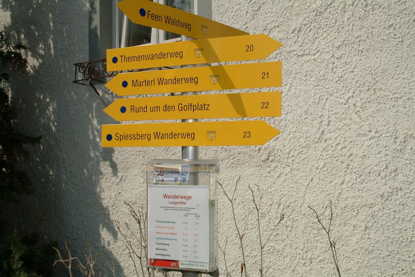
Marterl Hiking Trail
Use our AI guide
Do you have any questions about your stay?

The parish church dedicated to St. Pancratius originated from a castle chapel. The first documented mention of the village (1133/38) seems to have marked the beginning of more intensive settlement. As there was no space for further development on the church hill, the settlement began to develop along the Bachsenke. Prangerplatz emerged as a further focal point with the acquisition of the district court (around 1602). At that time, the old market fortifications probably already existed, the remains of which are still preserved today in the so-called Biritor. The town and the castle in particular are closely linked to the history of modern art in Austria. The Hauer-Fruhmann family of artists acquired Lengenfeld Castle in 1970 and turned it into a center of modern art.
The wine cellar lanes typical of the wine-growing regions should not be forgotten. The two largest are Dornergasse and Heiligengasse (actually Johannesgasse). Others include Annagasse, Kollerweg and Mühlfeldgasse.
The trail begins at the municipal office and initially leads through a narrow alley. At the end of this alley, turn left onto Bachgasse. Walk along the stream and, after about 70 m, cross a bridge to the right. The trail (private road) climbs relatively steeply and then curves to the left after about 200 m. From the trail, you’ll see the cemetery on your right. At the end of the hiking trail, turn left onto Blauensteinerstraße. This is also where you’ll find the first wayside shrine, the “Stögerkreuz.” After that, the trail turns right and leads slightly uphill through fields. After about 300 m, turn left. From here, the path continues at a very leisurely pace through fields. On your right, you’ll see the “Russenkreuz” and, right next to it—already on the road to Stratzing—the “Langegger Marterl.” This is the start of the pilgrimage route to Maria Langegg. Now cross Kremser Straße and turn left onto a wide, paved farm road. This is where Lengenfeld’s vineyards begin.
Follow the arrows. First, you’ll walk about 1.5 km along the “Kremsfeld” vineyard. Then you’ll come to the “Donati” (Donatus statue). Continue following the arrows, which will now lead you along the “Fuchsloch” (on the right) and “Sand” (on the left) vineyards. This is where Lengenfeld’s best Grüne Veltliner are grown. After about 1 km, you’ll reach the “Dreifaltigkeit” or the “Kiesling Marterl.” The trail passes the “Sandbaum.” After about 400 m, the trail turns right and leads steeply downhill through the golf course (caution!), past a horse paddock and a fallow deer enclosure. At the end of this section, you’ll find the fire station on your right, along with the Floriani Marterl. Now follow the arrows to the left, and you’ll reach Röhrbrunngasse (chapel in Letten). Walk along this street and turn sharply right at the end. (This is where the trail markers end.) You’ll pass the elementary school and the kindergarten on your way to the war memorial. From there, head to the church. Behind it is the “Millennium Cross.” Then walk down the church steps. Now follow the local signage to return to the town center.
Vienna – Stockerau – Fels am Wagram – Langenlois – Lengenfeld
Linz – St. Pölten – Krems – Gneixendorf – Lengenfeld
Leider können wir Ihnen zum jetzigen Zeitpunkt keine Wetterdaten für den Ort anzeigen.
Market Town of Lengenfeld
Langenloiser Straße 13
3552 Lengenfeld
T 02719/23 65, F Ext. 14 gemeinde@lengenfeld.atwww.lengenfeld.at
gemeinde@lengenfeld.at
www.lengenfeld.at
WALDVIERTEL Tourism
3910 Zwettl, Sparkassenplatz 1/2/2
(T) +43(0)2822/54109, Fax Ext. 36
Toll-free within Austria:
(T) +43(0)800/300 350
(E) info@waldviertel.at
(I) www.waldviertel.at
Letzte Änderung: 3 Aug 2026