Wiesenreith Eco-Mile
Use our AI guide
Do you have any questions about your stay?

Hiking tour Starting from Boundary of Wiesenreith
Trail marker no. 71
Trail marker no. 71
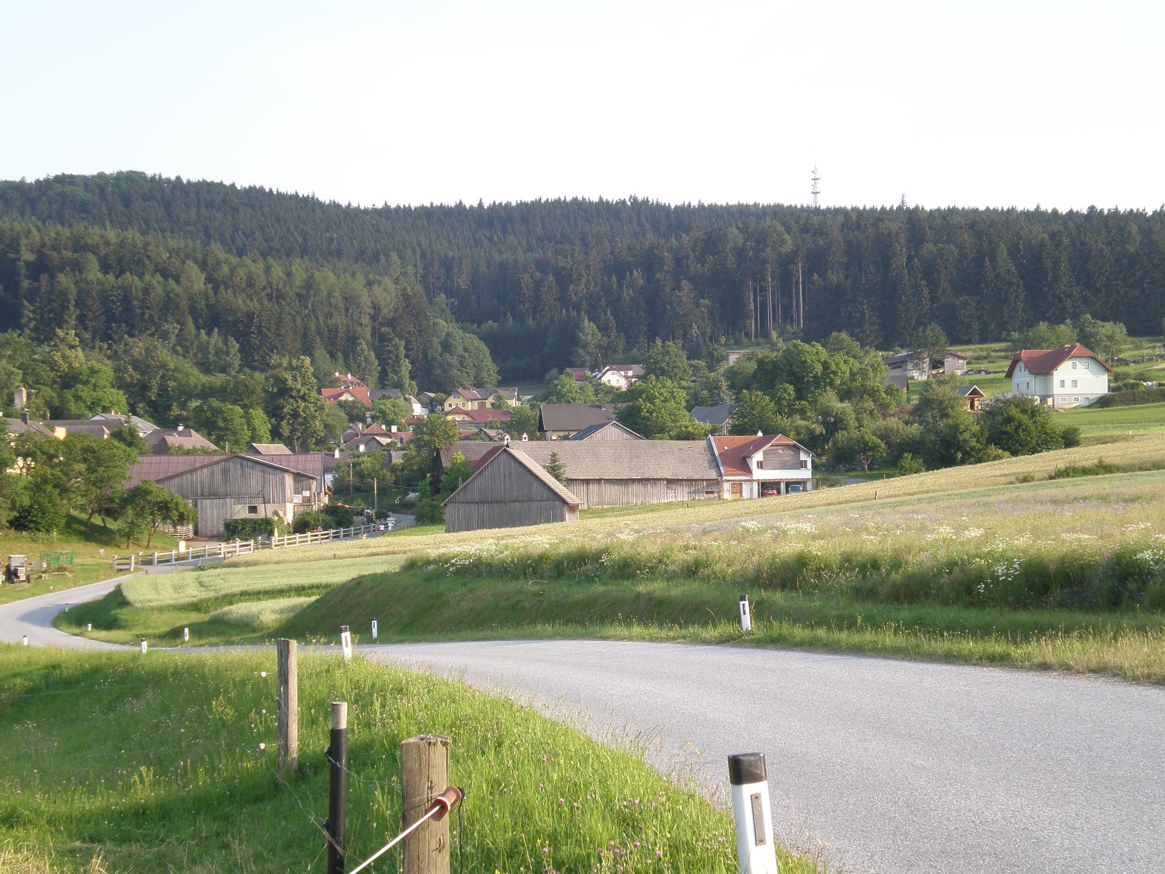
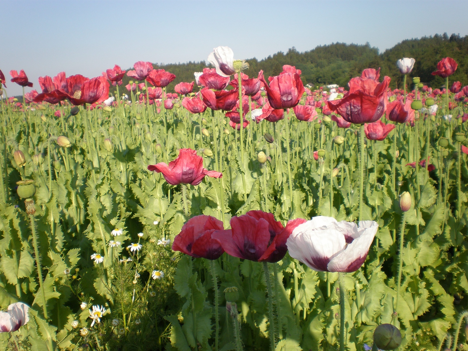
The circular hiking trail Ökomeile Wiesenreith deals with the topic of landscape and agriculture. Information boards along the route contain interesting facts and are designed to give hikers an insight into the interplay between landscape and agriculture.
When choosing your route, make sure it’s appropriate for your fitness level. Check to see if the restaurants and cafes you plan to visit along the way are open. Pack your fully charged cell phone and maps in your backpack. For cross-border trips, please always carry a passport or ID card with you.
Sturdy shoes, functional clothing, sun and rain protection, maps, trekking poles if needed, first-aid kit (blister bandages), and plenty of food (snacks, granola bars, fruit, water).
You start at the entrance to Wiesenreith and follow the signs. The short trail leads along a small stream through the diverse cultural landscape of the Waldviertel—with its meadows, fields, hillocks, and hedgerows—and back to Wiesenreith. Along the route, you’ll discover the many different aspects of organic farming and learn about the eco-point system and the requirements that farmers must meet to earn those points.
Boundary of Wiesenreith
From Vienna, take the A 22 and S 5 or the A1 and S 33 to Krems, then continue on the B 37 toward Zwettl. Before Zwettl (near Rudmanns), turn left toward Waldhausen; just before Waldhausen, you’ll reach Wiesenreith.
From Linz, take the A7 to Unterweitersdorf—then take the S10 to the Sandl exit—and continue on the B38 to Zwettl. In Zwettl, take the B37 toward Krems, and after passing through Zwettl (near Rudmanns), turn right toward Waldhausen; just before Waldhausen, you’ll reach Wiesenreith.
You can find all the information you need about bus and train routes to the Waldviertel at www.vor.at or at www.oebb.at.
Leider können wir Ihnen zum jetzigen Zeitpunkt keine Wetterdaten für den Ort anzeigen.
Municipality of Waldhausen
3914 Waldhausen 4
(T) +43 2877 71 55
(E) gemeinde.waldhausen@wvnet.at
Waldviertel Tourism
3910 Zwettl, Sparkassenplatz 1/2/2
(T) +43 2822 54109
(E) info@waldviertel.at
(I) www.waldviertel.at
Letzte Änderung: 3 Aug 2026