Pengers
Use our AI guide
Do you have any questions about your stay?

Hiking tour Starting from Bus stop at Burg Heidenreichstein, Burgstüberl/parking lots
Heidenreichstein Castle (bus stop) - town square - Jägergasse - Hofwehrteich - Otto-Franke-Gasse - Edelwehrteich (Edelmühle) - Pochergasse - Windhof - Pengers - Wasserwerk - Dietweis - Edlau - Edlauweg - Kautzener Straße - Litschauer Straße - town square - castle
Heidenreichstein Castle (bus stop) - town square - Jägergasse - Hofwehrteich - Otto-Franke-Gasse - Edelwehrteich (Edelmühle) - Pochergasse - Windhof - Pengers - Wasserwerk - Dietweis - Edlau - Edlauweg - Kautzener Straße - Litschauer Straße - town square - castle
As a memento of your hike along the Pengers Trail in the Waldviertel, you can pick up a Heidenreichstein Castle hiking token at the ticket office in Heidenreichstein Castle.
Hiking stamps are round, wood-burned and inscribed plaques that serve as a souvenir and at the same time as an award for outstanding achievements. Hard-working hiking stamp collectors are rewarded with a free premium hiking stamp. You can find more information at www.wandermarken.at.
Route characteristics: 50% asphalt, 10% gravel road, 40% forest and meadow path
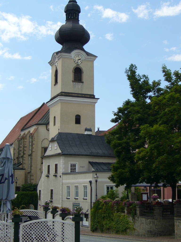
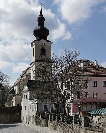
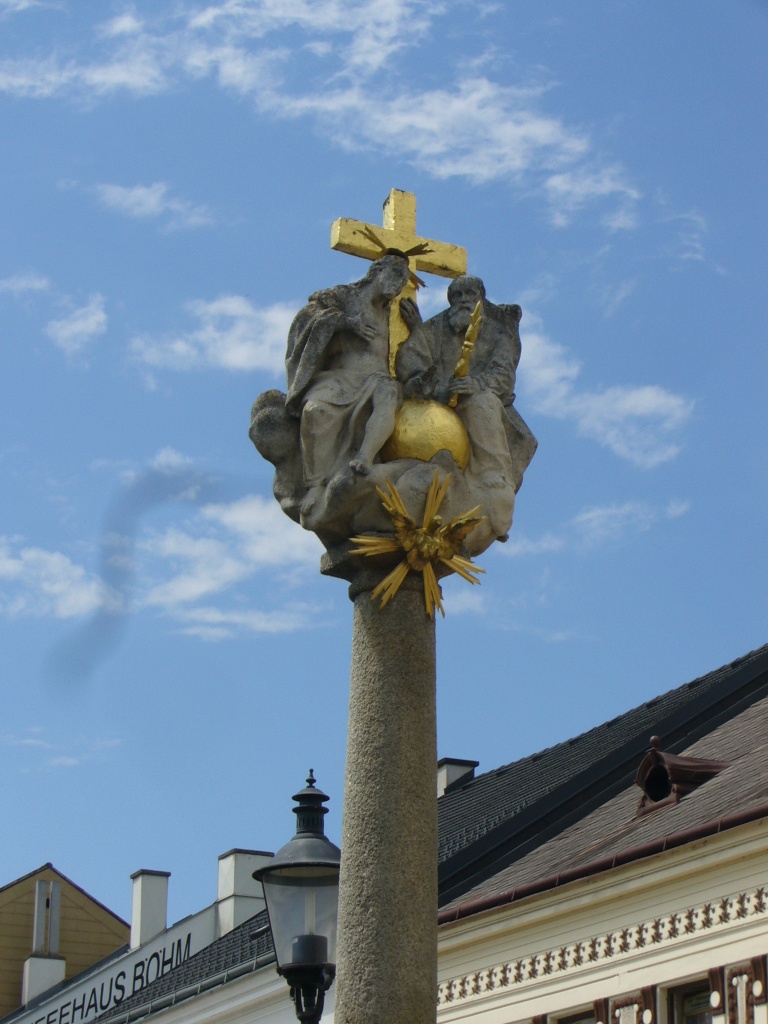
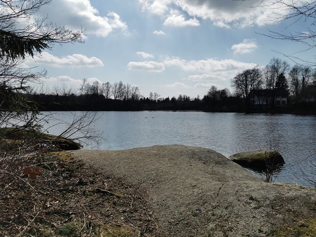
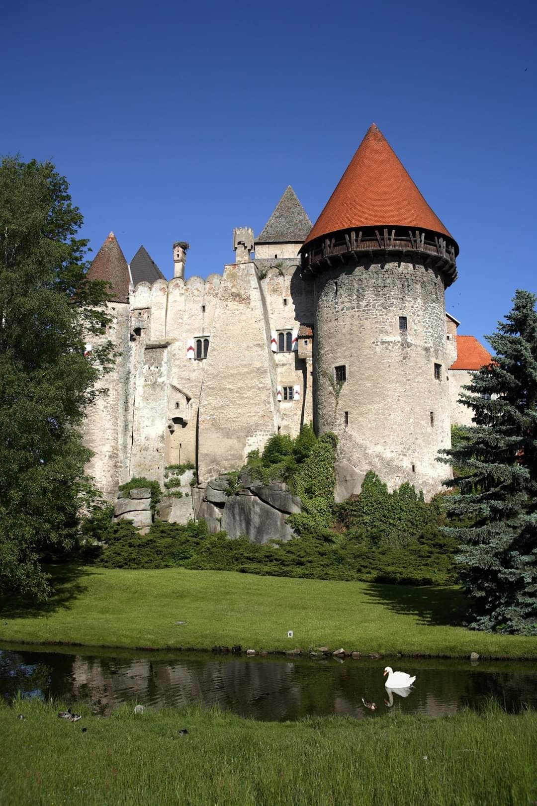
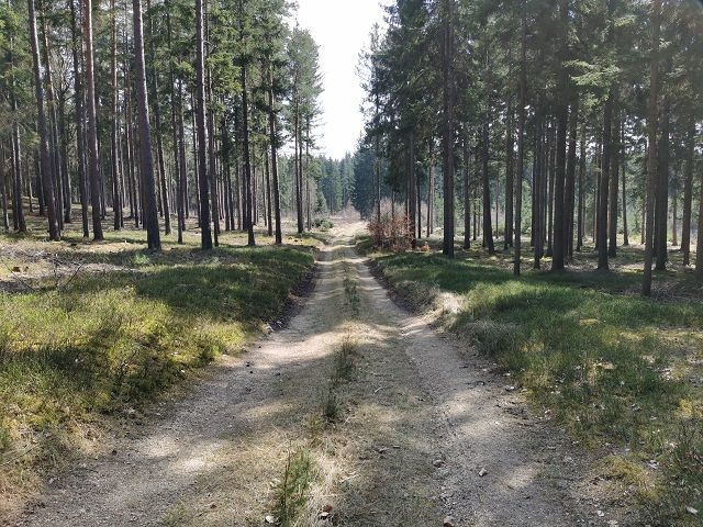
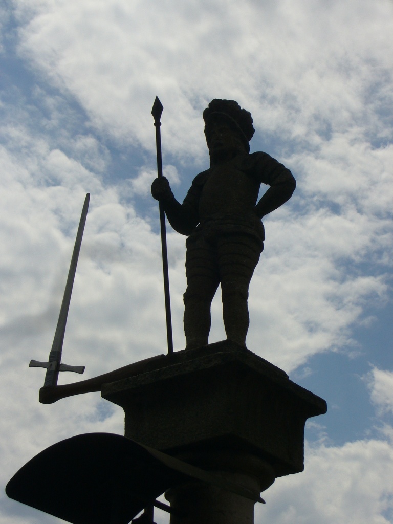
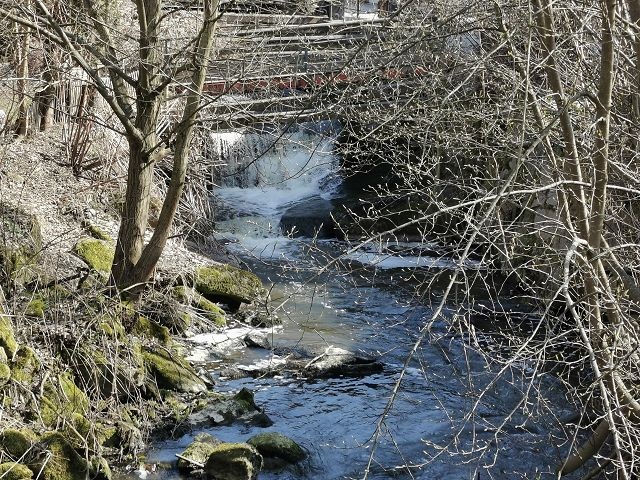
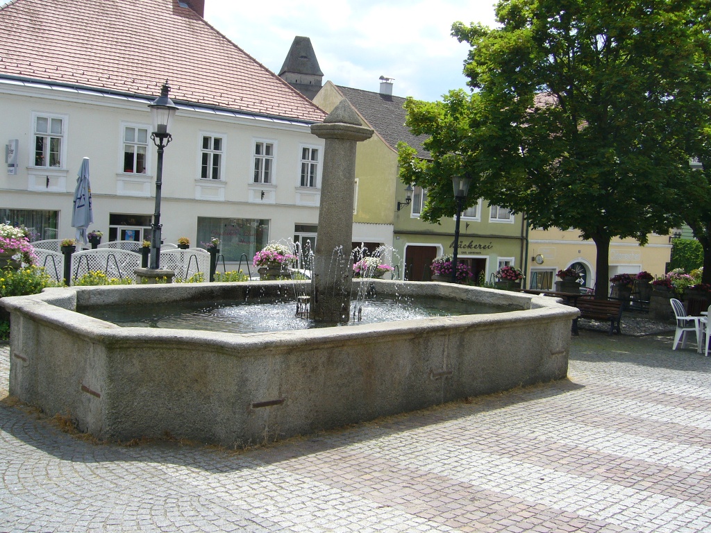
From the starting point, the bus station opposite the beautiful Wasserburg, the path leads over the Stadtplatz, past the Trinity column into Litschauer Straße. Past the mortuary on the left, along the Ingeborg-Bachmann-Park, then along Kautzener Straße into Edlauweg. On clear days, there is a view as far as Nebelstein, the highest peak of the northern Waldviertel at 1017m. Passing the scattered settlement of Edlau, the farm road continues past the waterworks towards the forest. After a short stretch on the Thayatal federal road, turn left onto a forest road. From here you can see the village of Motten. After a section on the gravel path, past some houses, the trail goes down a forest path. On the left you can see the Edelmühl pond. At the intersection with Pochergasse, the path leads left over Otto Franke Gasse, through a narrow path along the Hofwehrteich into Haydngasse. Through a narrow meadow path it continues to Jägergasse and back over the Stadtplatz to the starting point of the hike.
Leider können wir Ihnen zum jetzigen Zeitpunkt keine Wetterdaten für den Ort anzeigen.
Heidenreichstein Tourist Information
3860 Heidenreichstein, Stadtplatz 1
(T) +43 2862 52619
(E) info@waldviertelnord.at
(I) www.waldviertelnord.at
Waldviertel Tourism
3910 Zwettl, Sparkassenplatz 1/2/2
(T) +43 2822 54109
(E) info@waldviertel.at
(I) www.waldviertel.at
Letzte Änderung: 3 Aug 2026