
Plateau hike Hochschneeberg/ Klosterwappen
Use our AI guide
Do you have any questions about your stay?

Hiking tour Starting from Mountain station of the Schneebergbahn
Circular route on the high plateau of Schneeberg - from the mountain station of the cog railway to the summit at Klosterwappen (2,075 m) - excellently accessible by public transport!
Circular route on the high plateau of Schneeberg - from the mountain station of the cog railway to the summit at Klosterwappen (2,075 m) - excellently accessible by public transport!
You can reach the starting point at the Schneebergbahn summit station either by taking the comfortable train or by walking from Puchberg along the cograil hiking trail.
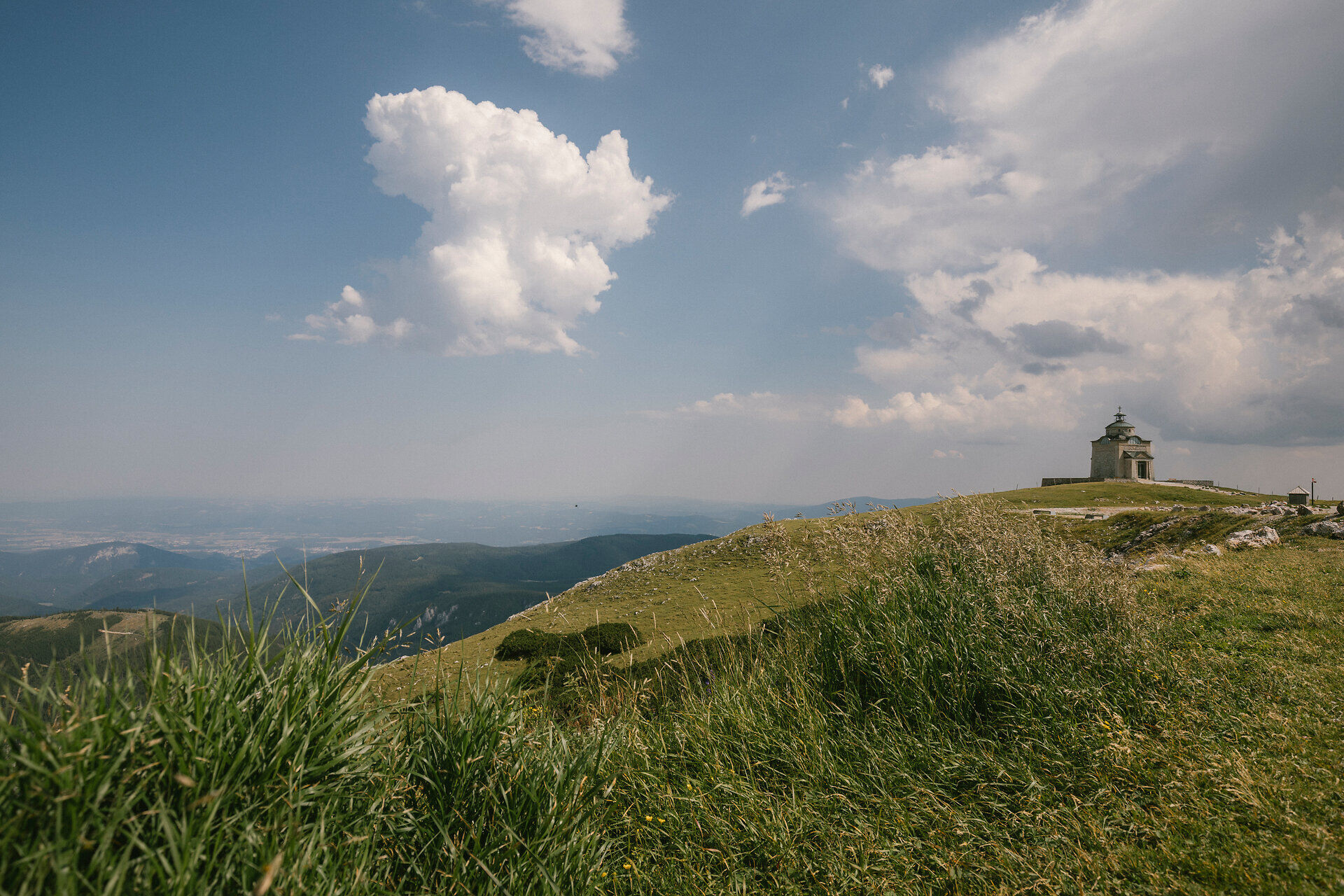
At the summit station, take some time to enjoy the view, visit the Berghaus Hochschneeberg, or stop by the Elisabethkircherl. Children can let off steam at Lower Austria’s highest playground, the Salamander Playground, and explore the rope jungle. Then the actual hike begins.
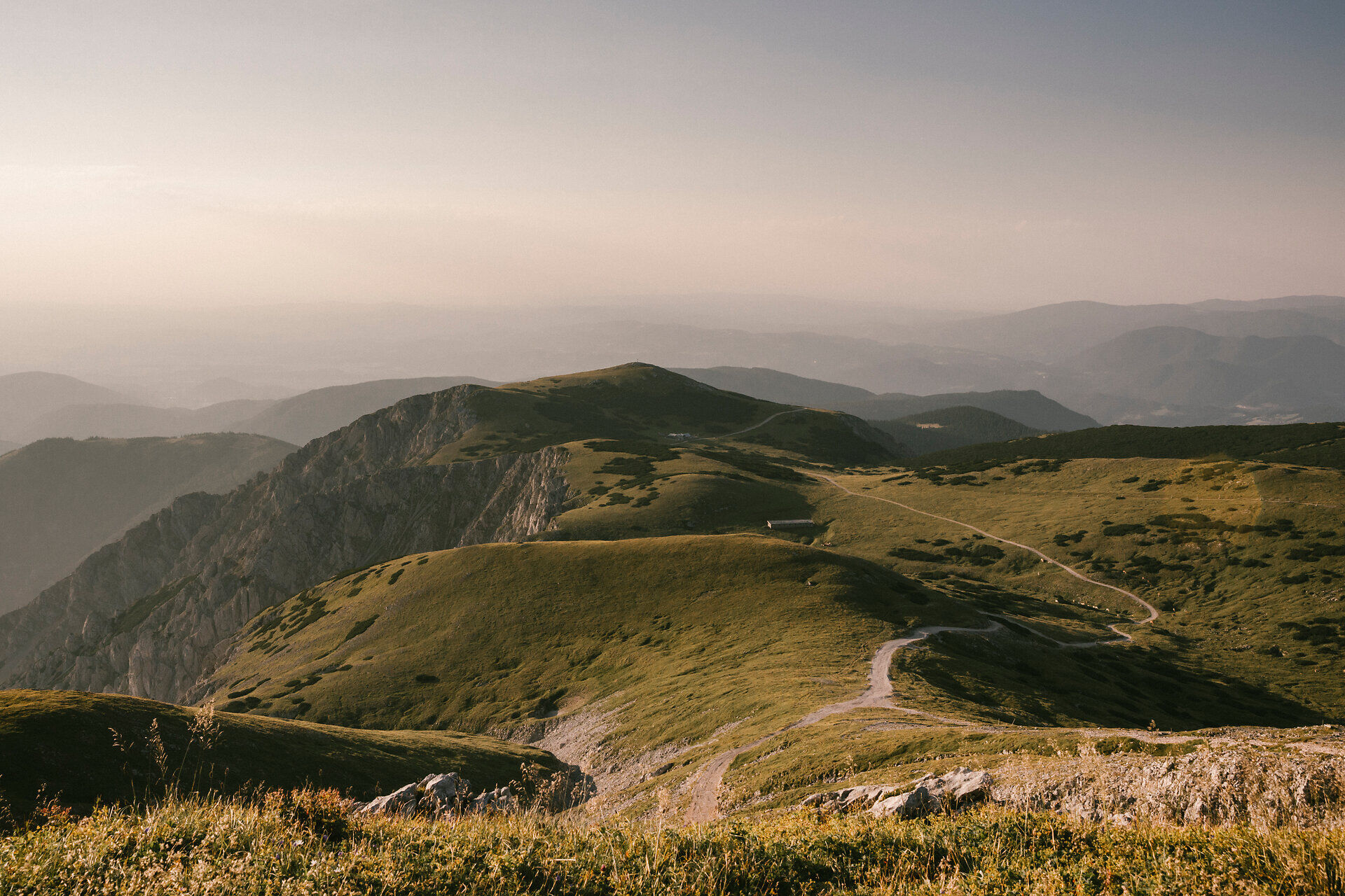
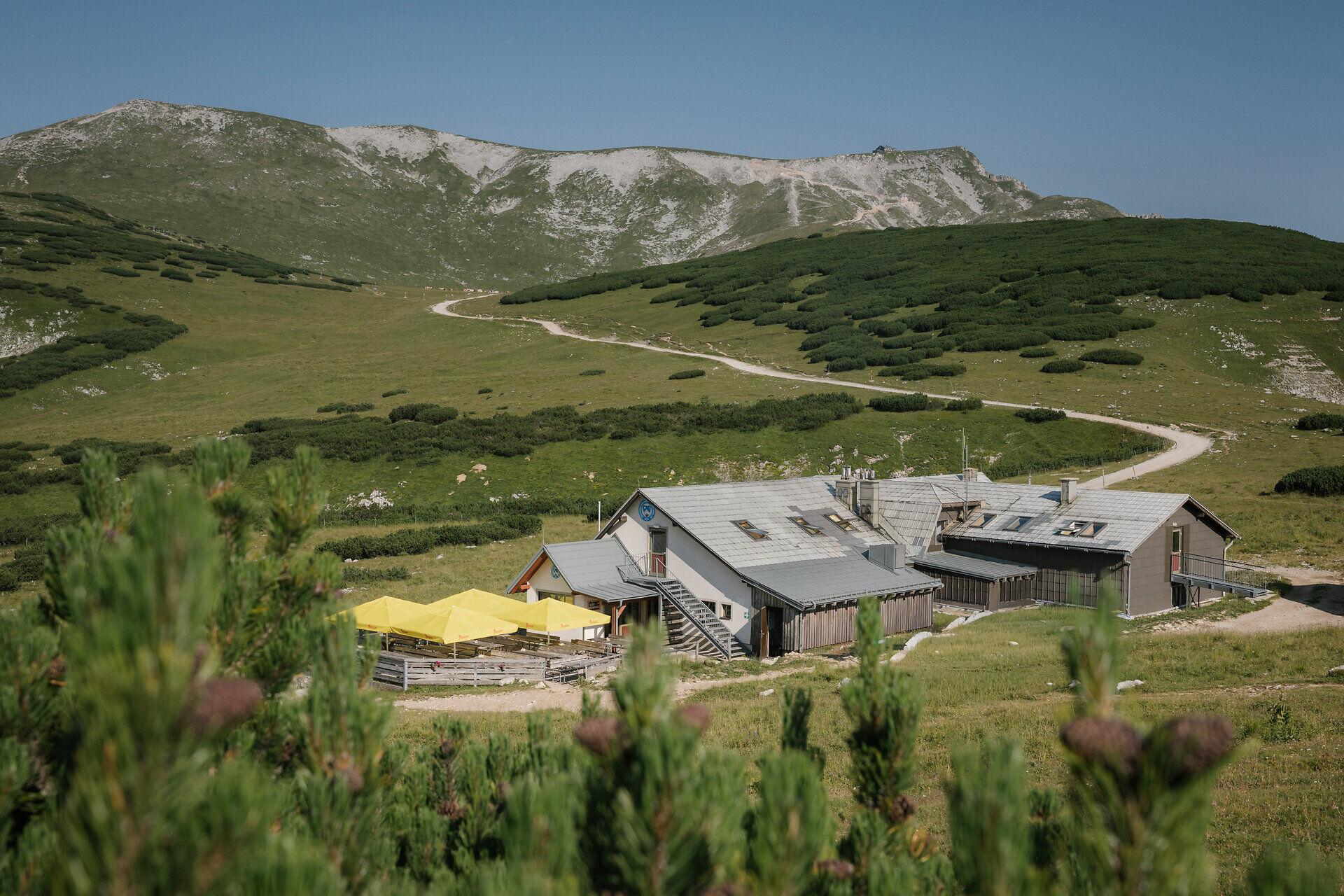
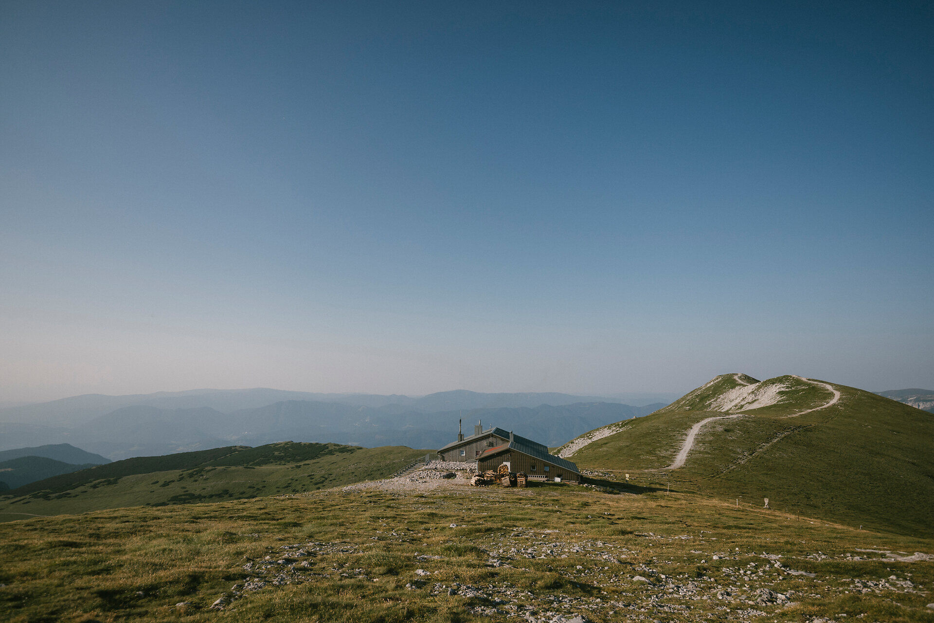
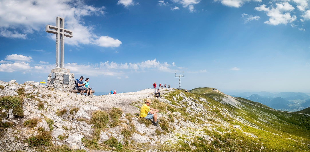
Before reaching the summit, it’s worth stopping for a break at the Damböckhaus. The trail then continues via the Ochsenboden up to 2,076 meters to the Klosterwappen, the highest point in Lower Austria. After enjoying the summit, the trail descends briefly to the Fischerhütte, where you can refuel after the climb.
On the way back, the route passes the Damböckhaus once more and finally returns to the Schneebergbahn summit station.
We want your hikes in the Vienna Alps to be a thoroughly enjoyable and safe experience. Therefore, please note the following:
Preparation:
Mountain Safety: https://www.wieneralpen.at/sei-gut-drauf-komm-gut-runter
When choosing a route, make sure it matches your experience and fitness level. Check the weather forecast in advance. The weather in the mountains can change surprisingly quickly. Therefore, always set out properly equipped (e.g., with rain gear).
Check whether the huts and snack bars you plan to visit along the way are open. Let someone know your route and your planned return time before you set out.
Always take suitable maps with you. Wear sturdy shoes appropriate for the route (hiking boots or trekking shoes), take sun and rain protection as well as water and a small snack. Bring your mobile phone and save the mountain rescue emergency number: 140
We follow the green trail markers to the Damböckhaus and continue hiking to the turnoff toward the summit cross. The yellow trail markers lead us to the Klosterwappen, the summit of the Schneeberg (2,076 m). We walk along the Schneeberg ridge to the Kaiserstein and the Fischerhütte. Following the green trail markers, we head back to the Ochsenboden and the summit station.
Parking facilities at the Puchberg am Schneeberg station.
Arrival from Vienna:
Take the South Motorway A2 towards Wiener Neustadt to the Wr. Neustadt West exit. From there, continue along federal road B26 towards Puchberg am Schneeberg. The route is well signposted.
Arrival from Graz:
Take the South Motorway A2 towards Vienna to the Neunkirchen West exit. From there, continue along federal road B26 towards Puchberg am Schneeberg. Follow the signs.
From Puchberg station take the Schneebergbahn up to Hochschneeberg.
Take the train from Vienna or Graz to Wiener Neustadt. From there, take the regional train towards Puchberg am Schneeberg to the final stop. (Direct connections are available on weekends!) Buses also operate.
More information at www.oebb.at or www.vor.at
From Puchberg station take the Schneebergbahn up to Hochschneeberg. If you travel with a dog, it can ride with the Schneebergbahn at a reduced price. Attention: leash and muzzle compulsory.
Combine your hike with a stay in Puchberg. For example, at the hiking establishments Hotel Restaurant Forellenhof, the Pension Bruckerhof, or in the gourmet rooms at the Hotel Schneeberghof
Leider können wir Ihnen zum jetzigen Zeitpunkt keine Wetterdaten für den Ort anzeigen.
Schneebergbahn, www.schneebergbahn.at
Damböckhaus, www.damboeckhaus.at
Fischerhütte, www.fischerhuette2049.weebly.com
Vienna Alps in Lower Austria, www.wieneralpen.at, +43 / 2622 / 78960
Puchberg am Schneeberg, www.puchberg.at/tourismus
Letzte Änderung: 16 Sept 2026