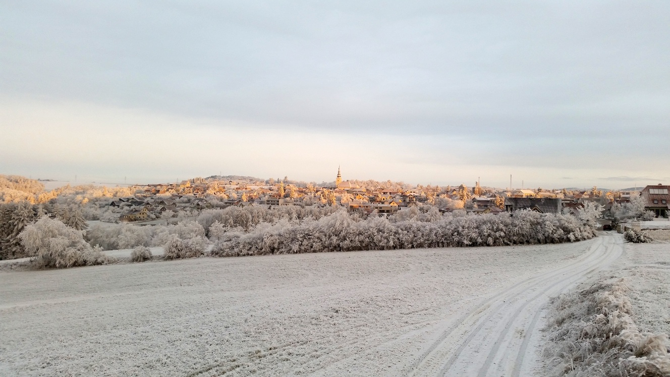
Around the Kühberg, No. 1
Use our AI guide
Do you have any questions about your stay?

Hiking trail no. 1 (green and white) "Around the Kühberg" in Gföhl
Hiking trail no. 1 (green and white) "Around the Kühberg" in Gföhl
This trail leads around the highest elevation in the Gföhl area and is also suitable as a "winter hiking trail".
When choosing a route, make sure it’s appropriate for your fitness level. Check to see if the restaurants you plan to visit along the way are open. Pack your fully charged cell phone and maps in your backpack.
Sturdy footwear, functional clothing, sun and rain protection, maps, trekking poles if needed, first-aid kit (blister bandages), and sufficient food and drink (snacks, granola bars, fruit, water).
For winter hikes, we recommend a thermos with hot drinks, warm, functional clothing, a hat, gloves, and a flashlight or headlamp.
The “Around the Kühberg” hiking trail leads from Gföhl’s main square via Kirchengasse, Bayerlandplatz, and Kühberggasse to Kremser Straße, then along Großkühbergweg around the highest peak in the Gföhl area (mainly through mixed forests south of the town) toward the Krems Valley ("Krems Valley" in German), and back to Gföhl via the Wurfenthalgraben.
Parking spaces in the city center. Please observe the short-term parking zones!
You can find all the information you need about bus and train routes to the Waldviertel at www.vor.at or at www.oebb.at.
Leider können wir Ihnen zum jetzigen Zeitpunkt keine Wetterdaten für den Ort anzeigen.
Gföhl Municipal Office
3542 Gföhl, Hauptplatz 3
(T) +43 2716 6326
(E) gemeinde@gfoehl.gv.at
(I) www.gfoehl.gv.at
Waldviertel Tourism
3910 Zwettl, Sparkassenplatz 1/2/2
(T) +43 2822 54109
(E) info@waldviertel.at
(I) www.waldviertel.at
Letzte Änderung: 3 Aug 2026