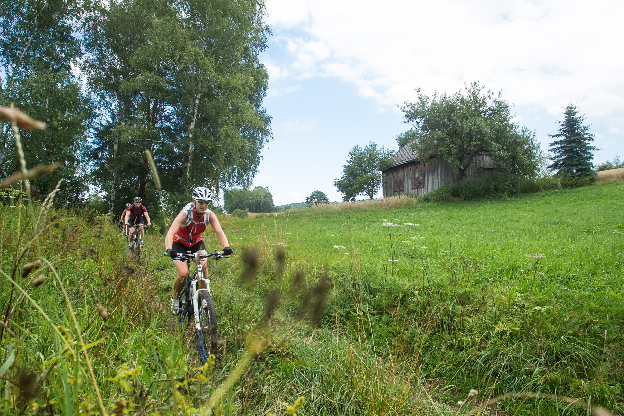
Schwedenkreuz Route
Use our AI guide
Do you have any questions about your stay?

Mountain bike tour Starting from Pöggstall, Municipal Office
Pöggstall – Oberaschelberg – Annagschmais – Schwedenkreuz – Pöggstall
Pöggstall – Oberaschelberg – Annagschmais – Schwedenkreuz – Pöggstall
Coming from St. Pölten or Vienna, take the A1 to the Melk exit, then take the B3a over the Danube Bridge, and follow the B216 to Pöggstall.
Coming from the west, take the A1 to the Pöchlarn exit, then take the B209 over the Danube Bridge, turn right onto the B3 to Weitenegg, turn left onto the B216, and follow the B216 to Pöggstall.
Leider können wir Ihnen zum jetzigen Zeitpunkt keine Wetterdaten für den Ort anzeigen.
Pöggstall Municipal Office
3650 Pöggstall, Untere Hauptstr. 8
(T) +43 2758 2383
(E) gemeinde@poeggstall.at
(I) www.poeggstall.at
Waldviertel Tourism
3910 Zwettl, Sparkassenplatz 1/2/2
(T) +43 2822 54109
(E) info@waldviertel.at
(I) www.waldviertel.at
Letzte Änderung: 3 Aug 2026