Sun Trail
Use our AI guide
Do you have any questions about your stay?

Hiking tour Starting from Ottenschlag Municipal Office
When choosing your route, make sure it’s appropriate for your fitness level. Check to see if the restaurants and cafes you plan to visit along the way are open. Pack your fully charged cell phone and maps in your backpack. For cross-border trips, please always carry a passport or ID card with you.
Sturdy shoes, functional clothing, sun and rain protection, maps, trekking poles if needed, first-aid kit (blister bandages), and plenty of food (snacks, granola bars, fruit, water).
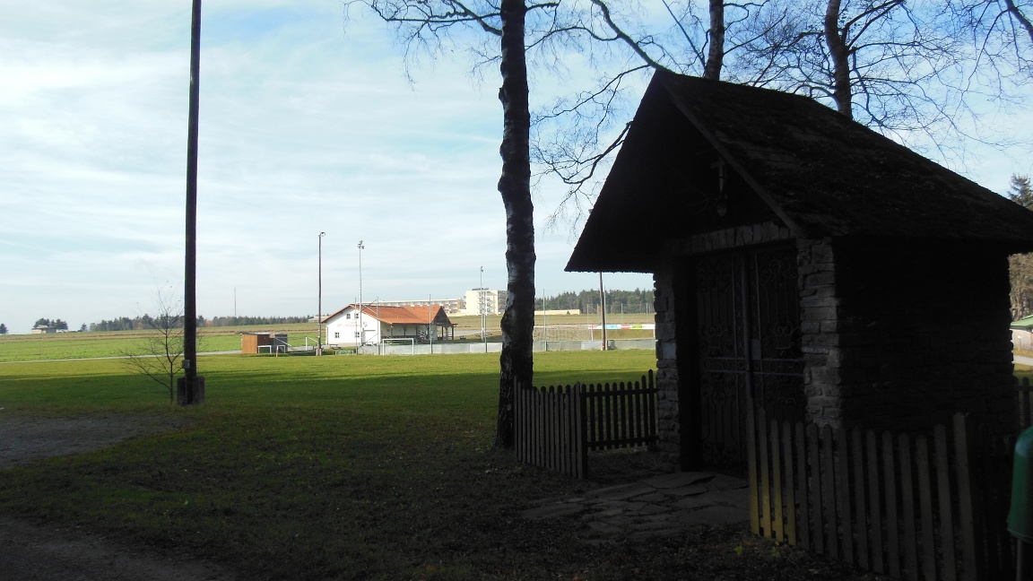
Starting at the town hall, walk up Wachaustraße to the upper village pond. From here, the path leads over the pond dam to Hubertusgasse. After a short stretch of road, Adenholzweg branches off to the left. Follow this path to the sports field (Hubertusstadion). Here, you can visit the Hubertus Chapel at the far end of the sports field. Back on the trail, you’ll now walk in a semicircle along the edge of the forest. Passing the Lebens.Resort, you’ll reach the edge of town, where you’ll continue straight ahead along Zwettlerstraße into the town center. At the castle (dating from the 16th century), turn left and walk back to the starting point via the Oberer Markt.
Leider können wir Ihnen zum jetzigen Zeitpunkt keine Wetterdaten für den Ort anzeigen.
Municipality of Ottenschlag
3631 Ottenschlag, Oberer Markt 22
(T) +43 2872 7330
(E) gemeinde@ottenschlag.eu
(I) www.ottenschlag.com
WALDVIERTEL Tourism
3910 Zwettl, Sparkassenplatz 1/2/2
(T) +43 2822 54109
(E) info@waldviertel.at
(I) www.waldviertel.at
Letzte Änderung: 3 Aug 2026