Waldviertel Thaya Loop
Use our AI guide
Do you have any questions about your stay?

Cycling tour Starting from any
Göpfritz/Wild - Groß Siegharts - Raabs/Thaya - Pisečné (CZ) - Slavonice (CZ) - Waldkirchen - Dobersberg - Thaya - Waidhofen/Thaya - via Windigsteig or via Dietmanns and Groß Siegharts to Göpfritz/Wild
Göpfritz/Wild - Groß Siegharts - Raabs/Thaya - Pisečné (CZ) - Slavonice (CZ) - Waldkirchen - Dobersberg - Thaya - Waidhofen/Thaya - via Windigsteig or via Dietmanns and Groß Siegharts to Göpfritz/Wild
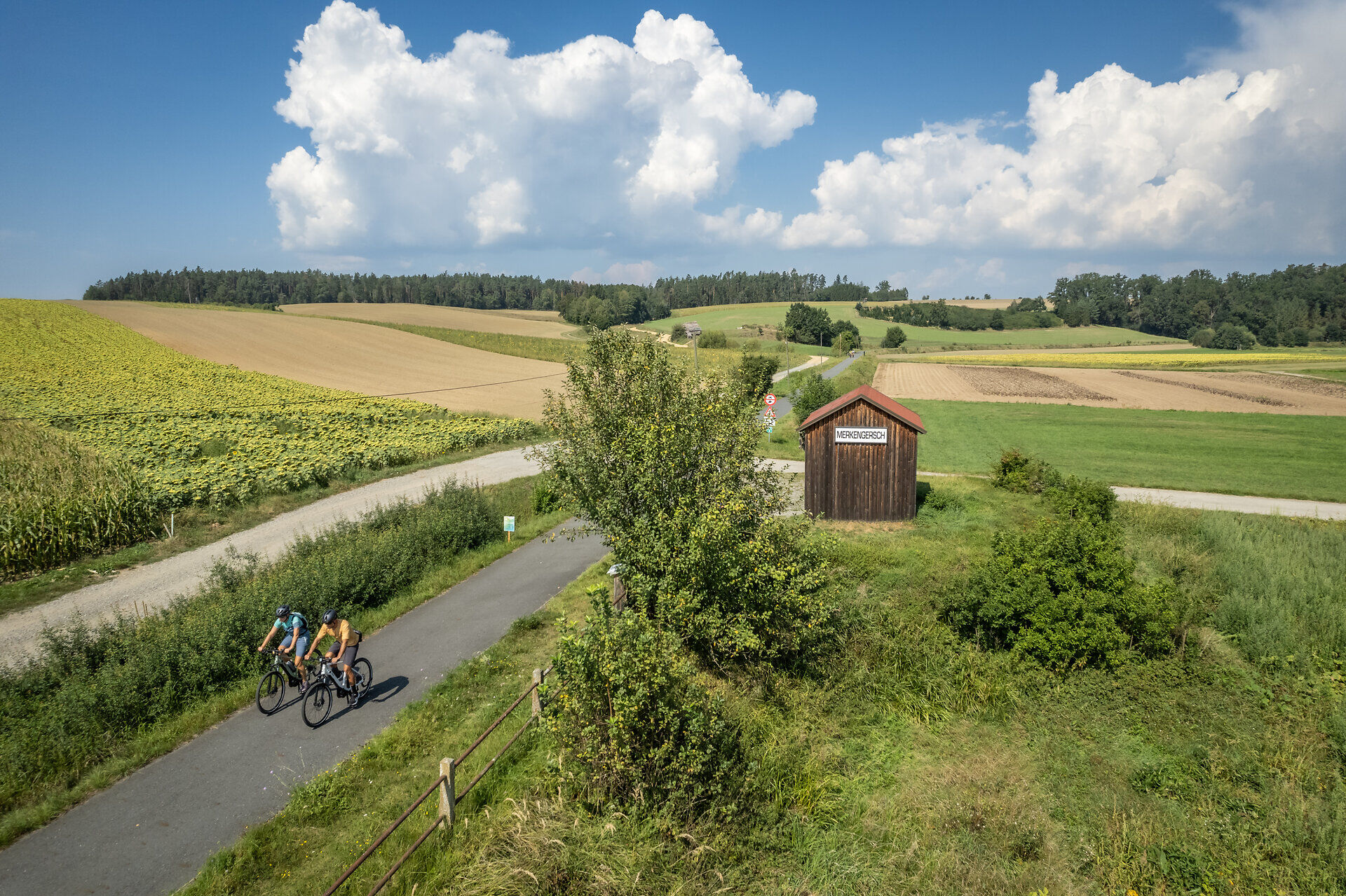
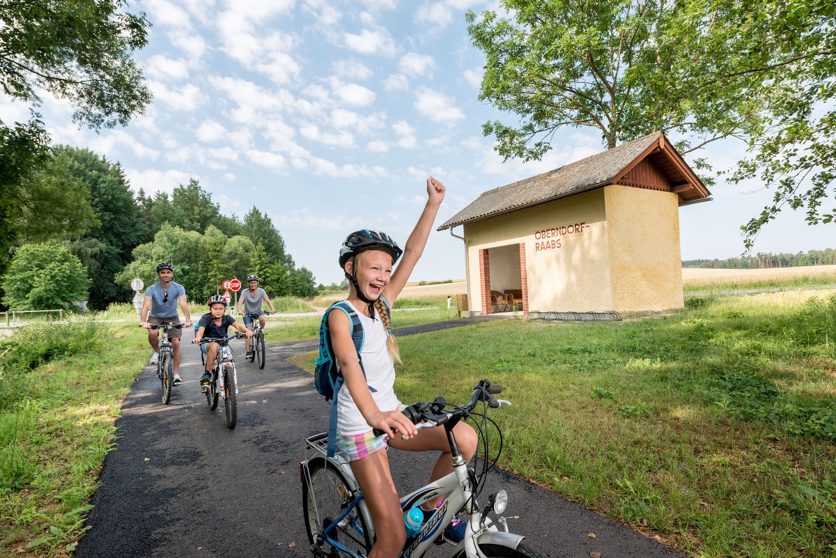
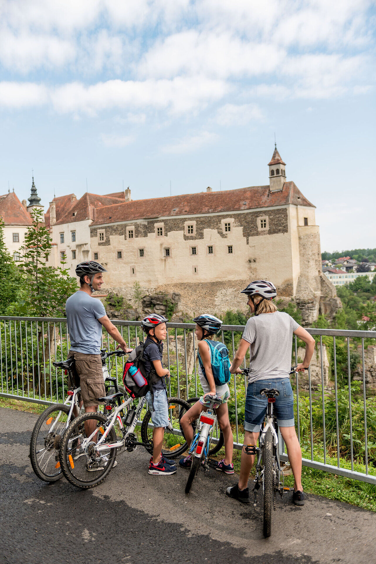
The Thayarunde Bike Trail runs largely along the former Waidhofen-Slavonice and Göpfritz-Raabs railroad right-of-ways. Back then, steam locomotives couldn’t handle steep inclines, so railroad engineers leveled out the terrain. Today, these conditions are ideal—especially for families—for enjoying a relaxing bike ride together. The route consists of 45% newly paved, flat bike paths and 55% quiet side roads with little traffic.
To get from one railway line to another, these sections are connected by roads and paths with little traffic, some of which are part of two top cycling routes: the Kamp-Thaya-March Cycling Route and the Iron Curtain Trail (EuroVelo 13).
Let us take care of the organization and your luggage so you can fully enjoy your cycling experience. >> PLAN YOUR TRIP
Make sure the chosen route matches your fitness level. Check whether the gastronomy venues you want to visit along the way are open. Pack your mobile phone and map material in your backpack.
For cross-border routes, always carry a passport or identity card.
We recommend: helmet, suitable clothing and footwear, rain and sun protection, first aid kit (blister plasters), sufficient provisions (snack, muesli bars, fruit, water).
The 5 stages of the Thayarunde:
1. Göpfritz an der Wild – Groß-Siegharts – Raabs an der Thaya
approx. 21 kilometers (railway track 100% asphalt, no significant inclines): Follows the former railway line Göpfritz – Groß-Siegharts – Raabs. The entrance to Raabs with the view of Raabs Castle is particularly impressive.
2. Raabs an der Thaya – Slavonice
approx. 31 kilometers (96% asphalt, moderate inclines): Runs two-thirds of the way in the Czech Republic on the lightly used country road 409 together with cycle path 48 and cycle path 26. The town of Slavonice and the Jewish cemetery in Písečné are especially worth seeing.
3. Slavonice – Waldkirchen – Dobersberg – Thaya – Waidhofen an der Thaya
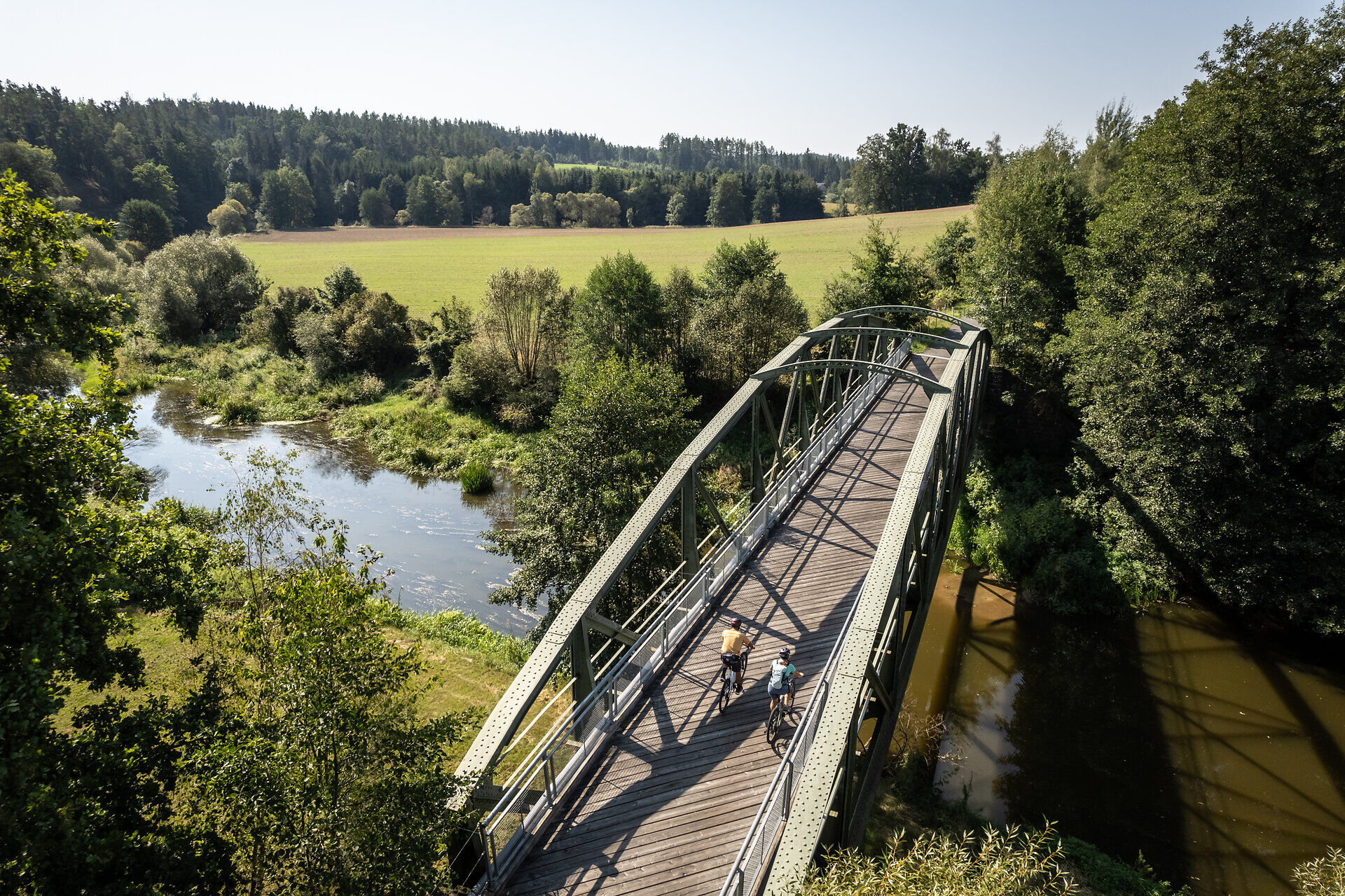
approx. 30 kilometers (railway track 100% asphalt, no significant inclines): Runs mostly next to the Thaya river with railway historical sights, such as the old railway carriages at the Waldkirchen station area and the railway bridges over the Thaya.
4. Waidhofen an der Thaya – Windigsteig – Göpfritz an der Wild
approx. 22 kilometers (96% asphalt, moderate inclines): Mostly on little-used farm roads and country roads. Up to Windigsteig, this section runs together with the Kamp-Thaya-March cycle route.
5. Groß-Siegharts – Dietmanns – Waidhofen an der Thaya
approx. 15 kilometers (60% asphalt, moderate inclines): Worth seeing are the natural road at Predigtstuhl and the entrance to Waidhofen. This route mostly runs through a forest area and thus has an unpaved natural surface of 5.3 kilometers length. This route is not suitable for racing bikes.
Vienna - Stockerau - Horn - Göpfritz an der Wild
Linz - Freistadt - Gmünd - Schrems - Vitis - Göpfritz an der Wild
Leider können wir Ihnen zum jetzigen Zeitpunkt keine Wetterdaten für den Ort anzeigen.
Association Zukunftsraum Thayaland
3843 Dobersberg, Lagerhausstraße 4
(T) +43 2843 26135
(M) +43 664 2326170
(E) office@thayaland.at
(I) www.thayarunde.eu
Waldviertel Tourism
3910 Zwettl, Sparkassenplatz 1/2/2
(T) +43 2822 54109
(E) info@waldviertel.at
(I) www.waldviertel.at/thayarunde
Letzte Änderung: 25 Aug 2026