Thayatalweg 630 - Stage 4: Eugenia - Heidenreichstein
Use our AI guide
Do you have any questions about your stay?

Hiking tour Starting from Eugenia
Eugenia (534 m) - Amaliendorf (568 m) - Heidenreichstein (560 m)
Eugenia (534 m) - Amaliendorf (568 m) - Heidenreichstein (560 m)
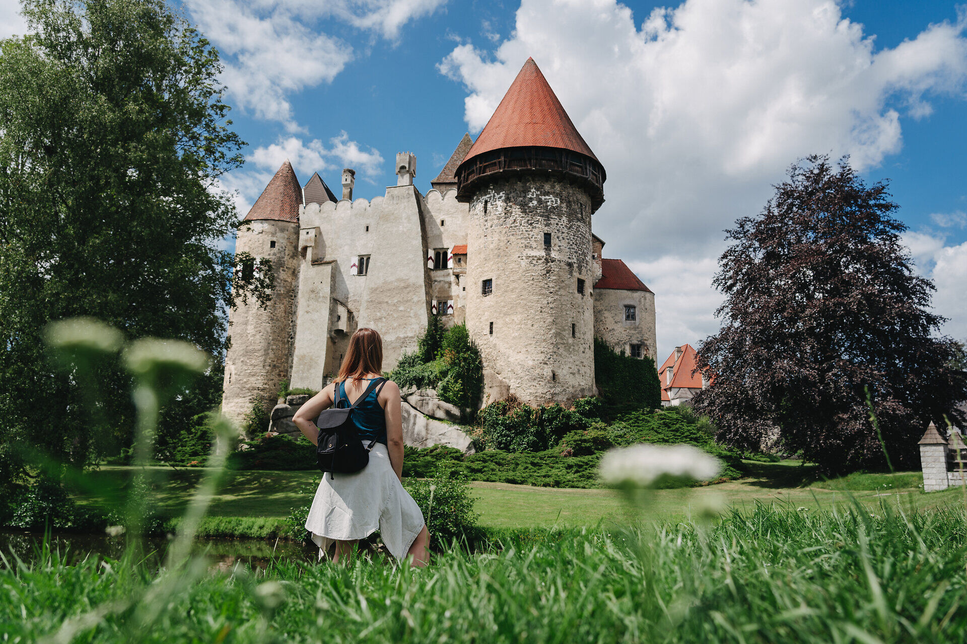
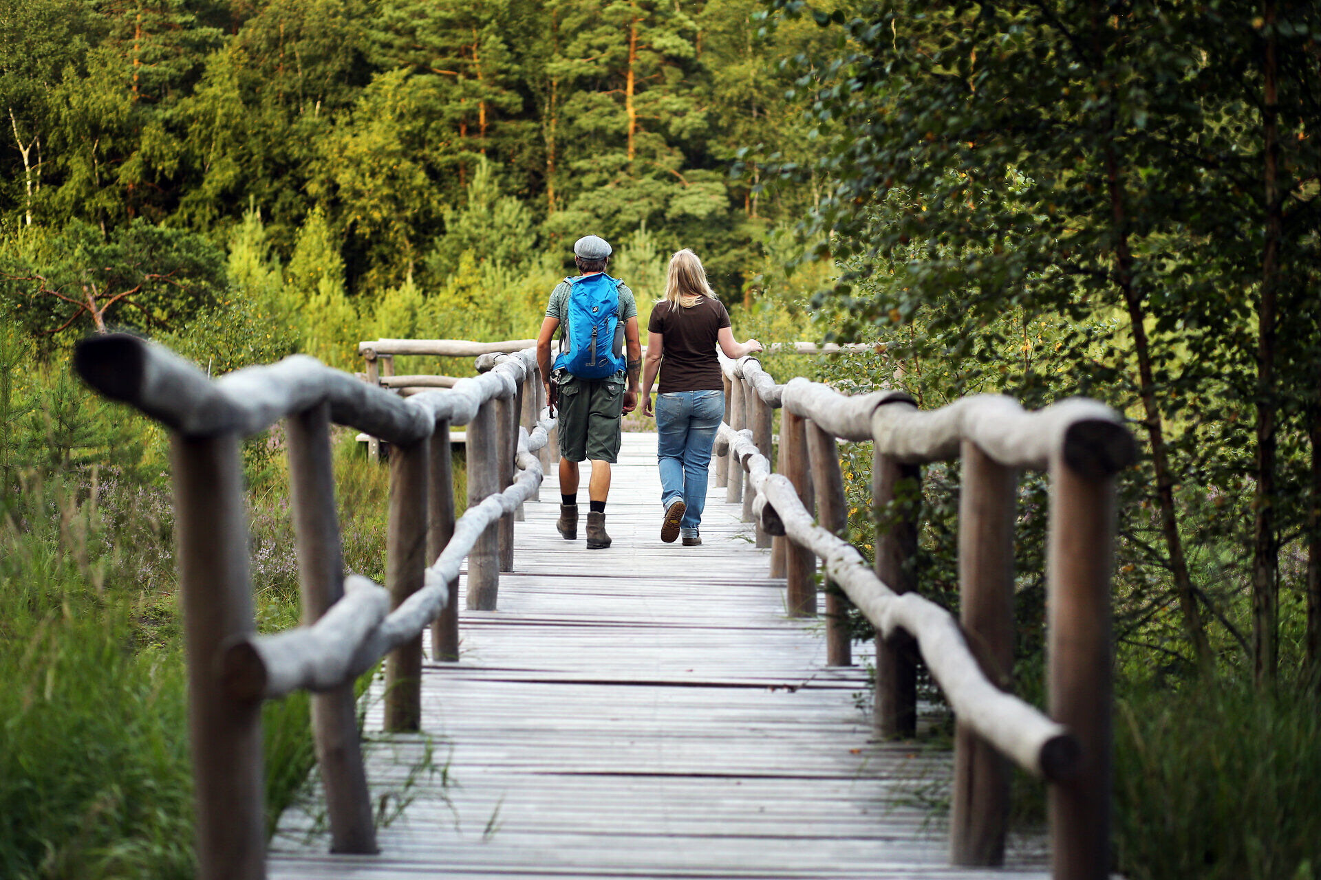
This stage leads through quiet forests and along gentle paths to the Wackelstein near Amaliendorf, a rock weighing 105 tons that can still be moved. Continue past the Kaltenbachteich pond to the castle town of Heidenreichstein and its imposing moated castle with historic interiors. Just a few steps further on, the next natural jewel begins: the Heidenreichstein moor - with moorland forests, peat moss, bog berries and rare plants such as the sundew.
Highlights along the stage:
Forest trails characterize the first section of this stage to Amaliendorf. There are several small monuments along the route before you reach the Wackelstein, one of the region’s most famous natural landmarks. The Thayatalweg continues via Wielandsberg, the Kaltenbachteich, and Kleinpertholz to the castle town of Heidenreichstein.
Linz - Freistadt - Weitra - Gmünd - Schrems - Eugenia
Vienna - Stockerau - Horn - Vitis - Schrems - Eugenia
For more information, visit: www.vor.at
Leider können wir Ihnen zum jetzigen Zeitpunkt keine Wetterdaten für den Ort anzeigen.
Person responsible for the content of this tour:
Waldviertel Tourism:
Alpine Club, Waldviertel Section:
3830 Waidhofen an der Thaya, Missongasse 12
(T) +43 677 63827725
(E) waldviertel@sektion.alpenverein.at
Waldviertel Tourism
3910 Zwettl, Sparkassenplatz 1/2/2
(T) +43 2822 54109
(E) info@waldviertel.at
(I) www.waldviertel.at
Letzte Änderung: 13 Oct 2026