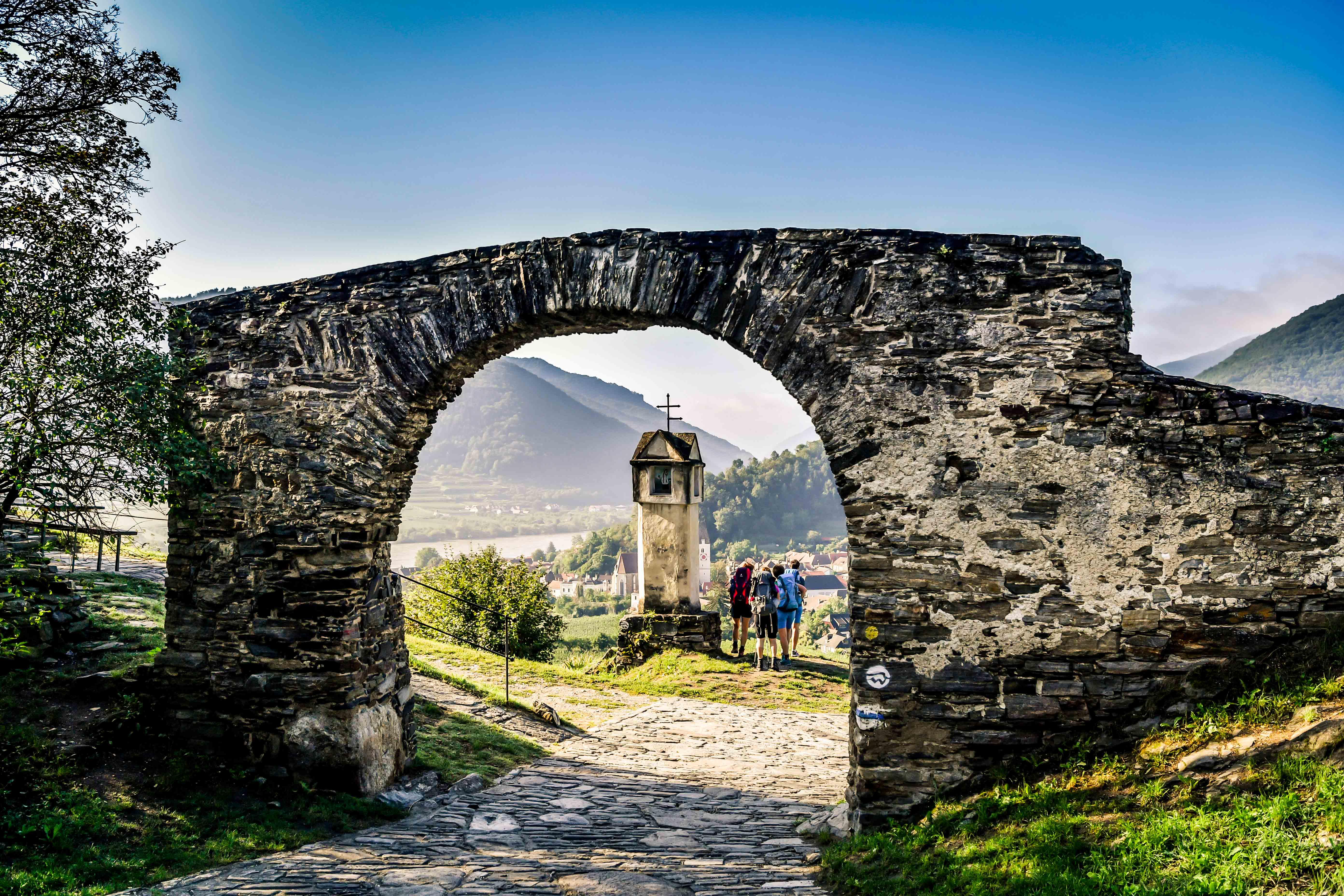
35 km Trail Running Route | From Spitz along the World Heritage Trail through Weißenkirchen and Dürnstein to Krems.
35 km Trail Running Route | From Spitz along the World Heritage Trail via Weißenkirchen and Dürnstein to Krems.
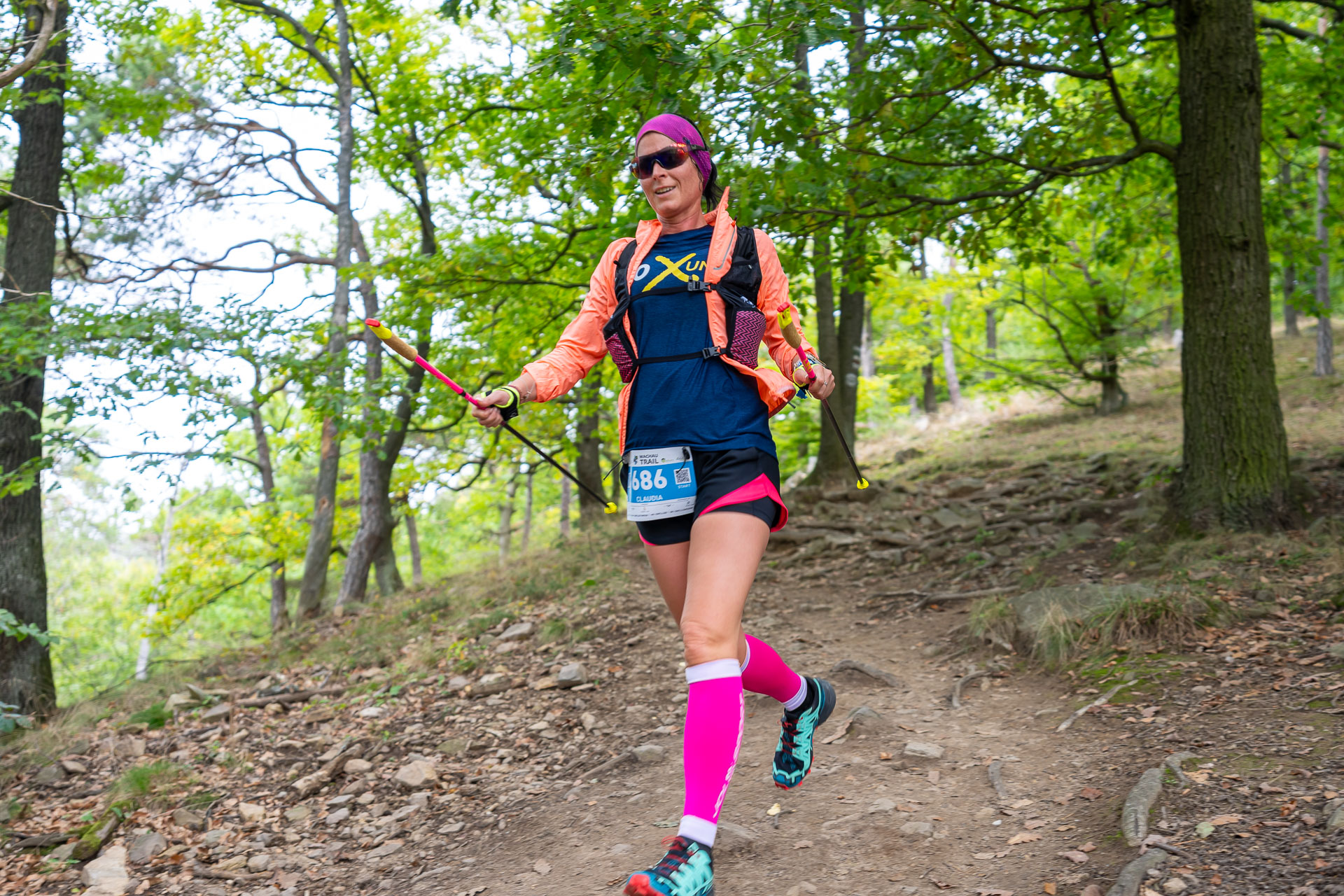
The Wachau34 is not to be underestimated; at 35 km and +1,429 meters of elevation gain, it’s only 7 km shorter than a marathon.
A perfect trail for anyone looking for a challenge.
This trail is part of an annual event. For more information , visit www.wachautrail.at.
Equipment
This tour is part of an annual event; for more information, visit www.wachautrail.at. Please note: There are specific equipment requirements for the event.
The tour is very challenging, so we generally recommend the following equipment outside of the event:
First-aid kit, including a thermal blanket
Reflective safety gear, such as a high-visibility vest, reflective armbands, or a reflective hood
Backpack with drinks and snacks for self-sufficiency
A fully charged cell phone and an additional power bank for longer distances. The battery can drain quickly in cold weather, so the cell phone should always be carried close to your body.
Headlamp for anyone setting out in the early morning hours or arriving in the evening. The headlamp should have a minimum output of 500 lumens
A change of clothes appropriate for the weather
Warm jacket, gloves, and hat—the weather can change quickly at higher elevations or in the wilderness, even if it’s still warm in the city.
In winter conditions (snow, ice), crampons (a lightweight version of ice cleats) can be helpful.
Public transport
Public transportation to Spitz/Ferry: Take bus No. 715, which runs hourly (from Krems or Melk)
or by the Wachaubahn to Spitz/train station (does not operate in winter)
www.anachb.at
Recommended period
J
F
M
A
M
J
J
A
S
O
N
D
Leider können wir Ihnen zum jetzigen Zeitpunkt keine Wetterdaten für den Ort anzeigen.