alpannonia - Kirchberg/Wechsel Region - Mönichkirchner Schwaig
Use our AI guide
Do you have any questions about your stay?

Hiking tour Starting from Church in Kirchberg
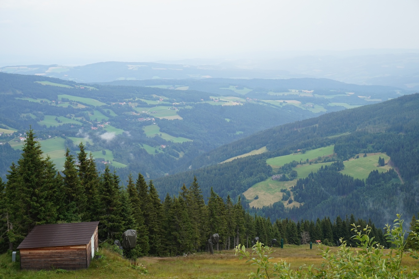
This regional route leads from Kirchberg am Wechsel via St. Corona and Mariensee to the main trail on the Mönichkirchner Schwaig.
This regional route leads from Kirchberg am Wechsel via St. Corona and Mariensee to the main trail on the Mönichkirchner Schwaig.
Hiking gear: sturdy shoes, clothing appropriate for the weather
Don't forget to bring food!
Various parking options in town
Take the A2 (Southern Highway) to Aspang-Markt or Grimmenstein, then take the B54 and L134
Take the train to Grimmenstein or Aspang/Markt, then take the bus to Kirchberg a. Wechsel