Angerhofweg, Böheimkirchen
Use our AI guide
Do you have any questions about your stay?

Hiking tour Starting from Böheimkirchen, Untere Hauptstraße near the park entrance
The Angerhofweg leads along medieval paths up the Eichberg, the first mountain in the flysch zone. This geological area is characterized by unique erosion and landscape forms. The late Gothic church of St. Peter am Anger provides a picturesque motif as it towers over the Stössing valley like a solitary sentinel.
The Angerhofweg leads along medieval paths up the Eichberg, the first mountain in the flysch zone. This geological area is characterized by unique erosion and landscape forms. The late Gothic church of St. Peter am Anger provides a picturesque motif as it towers over the Stössing valley like a solitary sentinel.
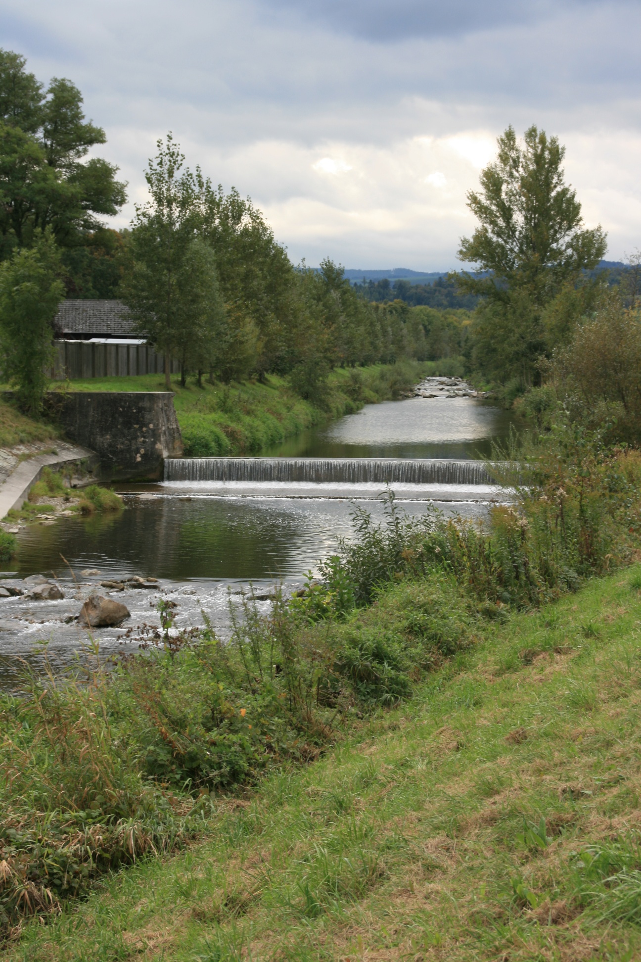
In the middle of Böheimkirchen is the municipality's extensive, tree-filled park. The Angerhofweg starts here. Right at the start, those interested can read the most important key dates of the village on the memorial stone commemorating the 1000th anniversary of the first documentary mention in 985. After walking through the park avenue, the route continues along the banks of the Michelbach stream. You leave the landscape of the northern foothills of the Alps, which is characterized by arable farming, and enter the flysch zone, where pasture farming predominates. This geological area stretches like an arc from Lake Geneva on the northern side of the Alps to the Bisamberg near Vienna. The soft sandstone subsoil has created unique erosion and landscape forms here. You cross the Michelbach - Old High German: "big stream" - at Furth. This crossing already existed in the Middle Ages, hence the place name. The picturesque church of St. Peter am Anger can be seen from afar. The village was first mentioned in 1248, but its exact origins are uncertain. The style of today's church is a mixture of late Gothic and Baroque. Passing the Hagenau farm - once a knight's court, as tombstones in St. Pölten Cathedral testify - the route leads up to the Eichberg (415m). Return along the mountain ridge, which was an important traffic route in the Middle Ages. Before that, however, you can enjoy the Alpine panorama with views as far as the Ötscher. A beach volleyball court and an outdoor pool await particularly sporty hikers at the end of the trail.
Standard Hiking Gear
The tour begins in the center of Böheimkirchen, near several restaurants by the park entrance. You set off southward through the municipal park. At the end of the park, there is a bridge over the Michelbach. Do not cross the bridge; instead, continue straight ahead along the stream, always following the green trail markers. You’ll pass an archery range, go under the highway, and arrive in the Plosdorf neighborhood. Here, turn right and then left to stay along the stream. After about 2.5 km, a road bridge crosses the Michelbach, past the Strohmayer Inn. After that, continue south on the other side of the stream. You’ll pass the confluence of the Michelbach and the Stössing and then come to a small bridge. Here, the green trail marker points toward Hegerberg. However, ignore this turnoff and continue straight ahead. After about 200 m, the trail meets the country road; from here, follow the yellow trail markers all the way to the end, where they point to the left. After about 300 m, turn right toward St. Peter am Anger. From here on, the ascent to the Eichberg begins. First, you’ll reach the village of St. Peter am Anger, whose church is visible from a distance. Now continue straight ahead near the Angerbach stream, passing the Hagenau and Wammershof farms. At the latter, you can enjoy a magnificent view of the Lower Austrian Alpine landscape. Before reaching the farm, turn left and walk across the meadow toward the forest. After a few meters, you’ll reach the Eichberg summit cross. From here, continue to the left toward the west. The trail then runs flat to slightly downhill along the ridge of the Eichberg. You’ll come to a four-way intersection. Here, take the path toward Reith and continue left toward the north. A narrow trail leads you out of the forest until you reach a dirt road. The path becomes a road, and you’ll arrive at the village of Blindorf. At the edge of the village, you’ll pass under the highway and find yourself in Reith. In the village center, there’s a nice spot to sit by a fountain. After Reith, cross the country road and walk through a meadow. Finally, you’ll reach the gravel path next to the Michelbach again. Turn right and pass by several public sports fields (basketball, beach volleyball, skate park). Then go under the Westbahn railway line and cross the bridge back into the park near Böheimkirchen. You’ll pass the public swimming pool on the way.
Free short-term parking zone (Mon–Fri, Sat mornings); alternatively: parking lot at the Böheimkirchen School Complex
A1 highway, take the Böheimkirchen exit, then follow signs for Böheimkirchen
Mostviertel Tourism
3250 Wieselburg, Adalbert-Stifter-Straße 4
Tel. 07416/521 91
Fax 07416/530 87
Elsbeere-Wienerwald Region
3040 Neulengbach, Kirchenplatz 82
Tel. 02772/524 84
Market Town of Böheimkirchen
3071 Böheimkirchen, Marktplatz 2
Tel. 02743/2318
Fax. 02743/2318 13
buergerservice@boeheimkirchen.gv.at
www.boeheimkirchen.eu
Letzte Änderung: 3 Aug 2026