Along Ancient Roman Roads to the Alpkogel Trattenbach
Use our AI guide
Do you have any questions about your stay?

Hiking tour Starting from Alpengasthof Kummerbauerstadl
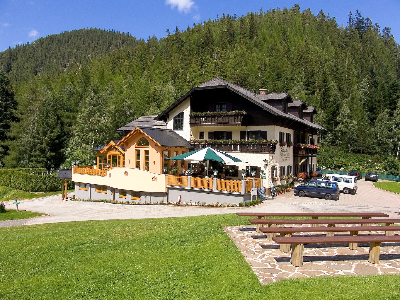
From the Alpkogel, you can see the summit of the Sonnwendstein and hike along historic paths. A hike for the whole family, a total of two hours through forest and meadows. We start at the Kummerbauerstadl, where you can stop for refreshments before or after the hike and enjoy the magnificent view.
From the Alpkogel, you can see the summit of the Sonnwendstein and hike along historic paths. A hike for the whole family, a total of two hours through forest and meadows. We start at the Kummerbauerstadl, where you can stop for refreshments before or after the hike and enjoy the magnificent view.
We want your hikes in the Vienna Alps to be an enjoyable and safe experience in every way. Therefore, please note the following:
Preparation
When choosing a route, make sure it matches your experience and fitness level. Check the weather forecast in advance. The weather in the mountains can change surprisingly quickly. Therefore, always set out with the appropriate gear (e.g., rain gear).
Check to see if the huts and snack bars you plan to visit along the way are open. Let someone know your route and your planned return time before you set out.
Always bring appropriate maps with you. Wear sturdy shoes suitable for the hike, and bring sunscreen, rain gear, water, and a light snack. Bring your cell phone and save the mountain rescue emergency number: 140
Hiking on Ancient Roman Trails
Even today, about halfway up the ascent, you can still see the deep ruts in the stones left behind by the Romans. The Roman legions led by Drusus and Tiberius, who arrived in our region in the 15th century B.C., did not just build the great Roman road from Rome to Vienna. They also constructed so-called relief routes, including the mule trail from Neunkirchen via Penk, Rams, Raach, Otterthal, and Trattenbach all the way to Styria. It was called the “Via Gigantea.”
The trail likely also played an important role in relation to the iron mining at Erzkogel and the copper mining in Trattenbach, both of which were carried out for centuries.
The hiking trail is well marked; however, in the upper section, you should not take the turnoff to the Alpkogelhütte, as it is not staffed—instead, continue hiking toward the Feistritzsattel. Once we reach the summit of the Alpkogel, we’ll find a plaque commemorating the fierce battles that took place along the Gebirgsjägersteig trail, which passes through here. Numerous soldiers died here on the front lines toward the end of World War II, when the Red Army was already in the valley and German troops fought along the ridge until their surrender. As a result, the minefields created there claimed the lives of many civilians.
An Alternative for the Very Fit
Incidentally, the secluded yet historic Gebirgsjägersteig and Kammweg trail leads from the Semmering Pass summit, past the Sonnwendstein and Erzkogel, to the Feistritzsattel, then on to the Kranichberger Schwaig and finally to the Hochwechsel. This tour requires stamina, as it covers 23 kilometers. For this hike, spending the night on the Hochwechsel is a great option.
A Leisurely Descent
Right at the highest point, the Alpkogel, a sign points back toward Kummerbauer. The forest trail eventually joins a forest road leading downhill.
The hike to the Kummerbauerstadl, where you can stop for refreshments, takes you along a variety of forest trails, some of which are quite overgrown, giving them an almost idyllic feel—if you can say that about a forest trail. After an hour, you’ll finally reach the restaurant, where you can refuel and enjoy some great views along the way.
At the Kummerbauerstadl Alpine Inn
Take the Gloggnitz exit on the S6 and continue on Höllental Str./B27; turn left to stay on Höllental Str., then turn right onto Schlaglstraße, passing Wartenstein Castle on the way to Schlagl, Otterthal, and Trattenbach.
Place to stop for refreshments: Kummerbauerstadl (also offers lodging)
For a longer stay, the Almbauer Morgenbesser is also a good option.