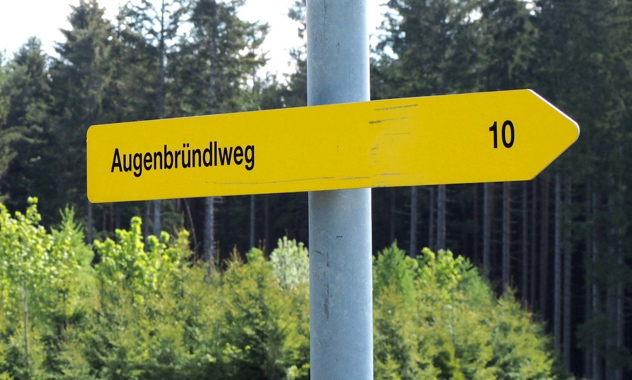
Augenbründlweg No. 10
Use our AI guide
Do you have any questions about your stay?

Hiking tour Starting from Sallingberg, Market Square near the church
Hiking around the Maria Grainbrunn pilgrimage church
Hiking around the Maria Grainbrunn pilgrimage church
When choosing your route, make sure it’s appropriate for your fitness level. Check to see if the restaurants and cafes you plan to visit along the way are open. Pack your fully charged cell phone and maps in your backpack. For cross-border trips, please always carry a passport or ID card with you.
Sturdy shoes, functional clothing, sun and rain protection, maps, trekking poles if needed, first-aid kit (blister bandages), and plenty of food (snacks, granola bars, fruit, water).
The starting point is the church square in Sallingberg. Walk downhill and, after passing the former “Nah & Frisch” store, turn left onto Feldgasse. Passing a fish pond and then the EVN substation, you’ll reach the state highway. On this road, keep to the right for a short while and then turn right again onto the side road leading to Großnondorf. In the center of Großnondorf, turn left and head north toward Grainbrunn. Here, turn right toward the “Maria Grainbrunn” pilgrimage church, from where you can take a short detour to the Augenbründl Chapel (a 5-minute walk northward downhill). From the parish church, walk left along the tree-lined avenue, past the village cemetery, until you reach the state highway at the intersection leading to Groß Reinprechts. From here, hike southward to the southern part of Großnondorf. The route continues through the Krems Valley ("Kremstal" in German) via Grafemühle, where you’ll join the long-distance hiking trail 606 (Krems–Grein). Along this route lies the legendary “Teufelsstein” (about 10 m from the trail). Continue following Trail 606, past two wayside shrines, and immediately turn left through the forest toward Rabenhof. In Rabenhof, you’ll come to the Mohnstrudelweg No. 12, which you’ll follow for a short distance along a state road. At the bridge in the right-hand curve, the trail leads you left through a mature forest to the Prihoda estate and the Krems River, then back onto the state road via the Knüppelbrücke and Schustersäge. From here, take Kremstalstraße to the right toward the main road and back to the starting point in Sallingberg.
Vienna - A22 to Stockerau - S5 to Krems - B37 to Gföhl - turn toward Lichtenau onto the L76 to Brunn am Walde; from there, take the L73 to Lichtenau - in Lichtenau, take the L76 to Sallingberg
Linz – A7 to Unterweitersdorf – take the S10 to the Sandl exit – take the B38 to Karlstift - From there, continue on the B38 to Zwettl - In Zwettl, switch to the B36 toward Ottenschlag - Follow the B36 to Lugendorf, then turn toward Sallingberg (L76)
Market Town of Sallingberg
3525 Sallingberg, Hauptstraße 24
(T) +43 2877 8344
(E) gemeinde@sallingberg.at
(I) www.sallingberg.at
Waldviertel Tourism
3910 Zwettl, Sparkassenplatz 1/2/2
(T) +43 2822 54109
(E) info@waldviertel.at
(I) www.waldviertel.at
Letzte Änderung: 3 Aug 2026