B17 Along the Geological Nature Trail to Mautern
Use our AI guide
Do you have any questions about your stay?

Hiking tour Starting from Unterbergern Parish Church
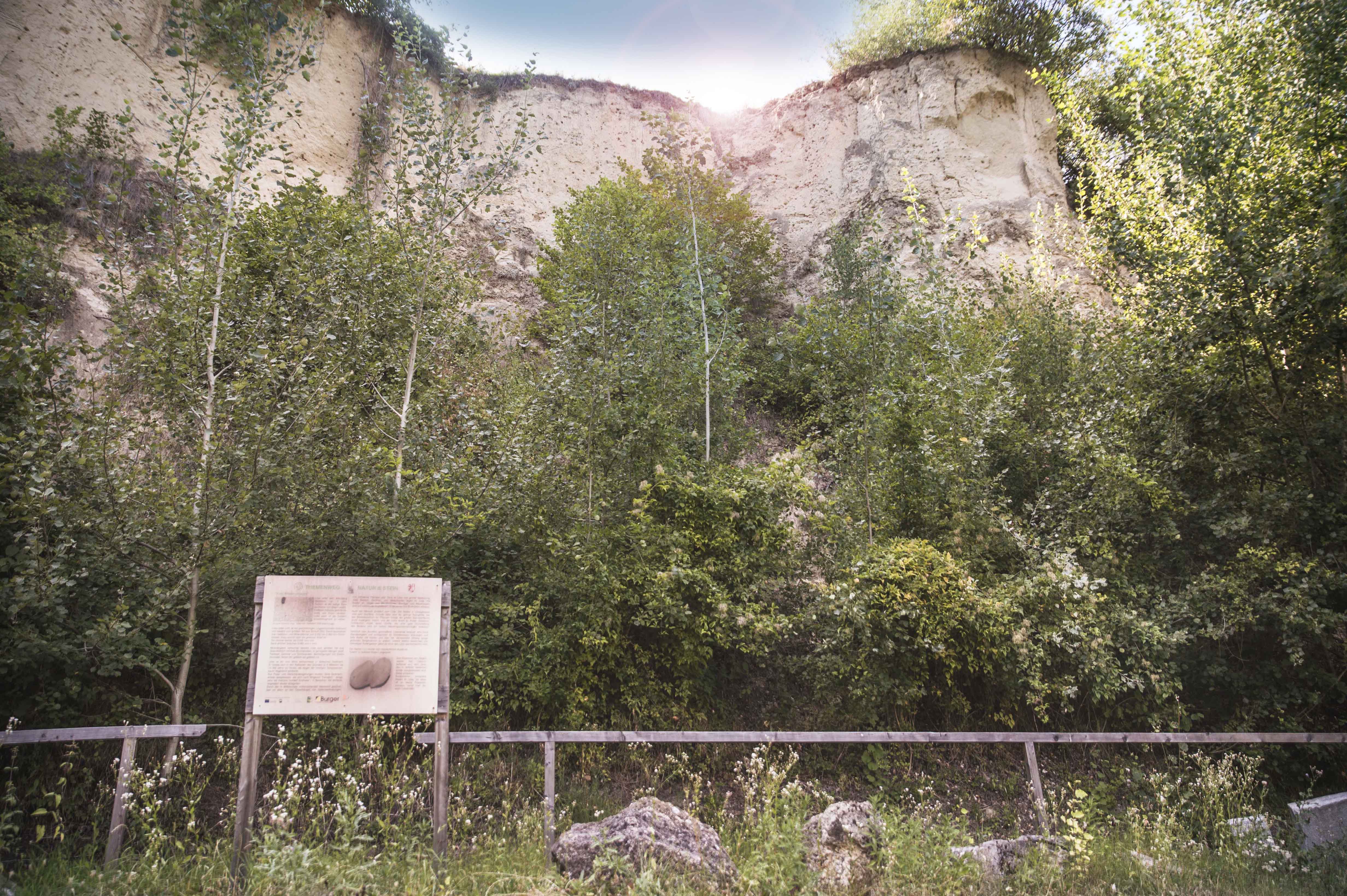
The path leads over the Giritzer to the Red Cross (picture tree) with a view of the greater Krems area. From there, turn left downhill towards Mautern. After one kilometer, the nature trail, also known as the nature and stone theme trail, begins. The hollow path leads out through the vineyards to the district of Mauternbach, which belongs to the Roman town of Mautern (lat. Favianis).
The path leads over the Giritzer to the Red Cross (picture tree) with a view of the greater Krems area. From there, turn left downhill towards Mautern. After one kilometer, the nature trail, also known as the nature and stone theme trail, begins. The hollow path leads out through the vineyards to the district of Mauternbach, which belongs to the Roman town of Mautern (lat. Favianis).
The trail first leads over the Giritzer up to the Red Cross, also known as the “Bildbaum”—a particularly atmospheric viewpoint that offers a sweeping panoramic view of the greater Krems area, the Danube Valley, and the surrounding hills of the Dunkelsteinerwald. From here, turn left and follow the trail downhill toward Mautern, passing through open landscapes and enjoying beautiful views along the way. After about one kilometer, an informative nature trail begins—the “Nature & Stone” themed trail—which offers fascinating insights into nature, the landscape, and cultural history. Passing through an impressive sunken path, you’ll eventually emerge into the vineyards, which mark the transition from forest to cultivated landscape, before reaching the Mauternbach district of the historic Roman town of Mautern—the ancient Favianis, one of the oldest settlements along the Danube. From Mauternbach, you’ll hike back to Unterbergern along a leisurely little path.
In Unterbergern, there are parking areas in the village that serve as good starting points for hikes.
Unterbergern is easily accessible by car: Coming from Krems or Mautern, take the B33 (Aggsteiner Straße) to Mautern, and from there, follow the signs on the state highway toward Bergern im Dunkelsteinerwald.
The church in Unterbergern is not accessible by public transportation, or at least it is very difficult to reach by public transportation. From Krems, you can take bus 720 to Mauternbach Mitte and then walk there for 30 minutes.
Unterbergern Parish Church:
“St. John of Nepomuk,” with the original, restored Josephine-era rectory
Person responsible for the content of this tour:
Wachau-Nibelungengau-Krems Valley ("Kremstal" in German):
More information is available at the Bergern Municipal Office
www.bergern-dunkelsteinerwald.gv.at
Municipality of Bergern in the Dunkelsteinerwald 3512 Unterbergern No. 29
Phone: +43 2714 7220 Fax: +43 2714 7220 20
Email: gde@bergern-dunkelsteinerwald.gv.at
Letzte Änderung: 4 Aug 2026