B20 Settlement Sites from the Early Christian Centuries
Use our AI guide
Do you have any questions about your stay?

Hiking tour Starting from Oberbergern 87 (Oberbergern Chapel)
From Oberbergern northwards via the Stickelsteig into the Windstallgraben down to the Danube (remains of a Roman tower); on to Rossatzbach and into the Seegraben; past the Hubertus Chapel and Pemexel to the Red Cross; via the Sieben Gräber (=Norse-Pannonian burial mounds) back to Oberbergern.
From Oberbergern northwards via the Stickelsteig into the Windstallgraben down to the Danube (remains of a Roman tower); on to Rossatzbach and into the Seegraben; past the Hubertus Chapel and Pemexel to the Red Cross; via the Sieben Gräber (=Norse-Pannonian burial mounds) back to Oberbergern.
Trail markings: varying colors of markings on various long-distance hiking trails
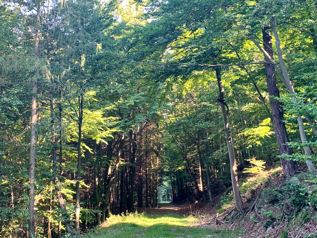
From Obergern, the trail first heads north along the Stickelsteig, which winds its way down through the forest in numerous switchbacks into the wild and romantic Windstallgraben. Once at the bottom, you reach the Danube, where the remains of a Roman watchtower serve as a striking reminder of this landscape’s millennia-old history. The trail continues along the riverbank to Rossatzbach before branching off into the tranquil Seegraben and gradually gaining elevation again. Passing the idyllically situated Hubertus Chapel and crossing the historic Pemexel, you finally reach the Red Cross, a vantage point offering sweeping views over the Danube Valley. The return route leads past the mysterious “Seven Graves”—Noric-Pannonian burial mounds from pre-Christian times—and brings this impressive loop, rich in nature, culture, and history, back to Obergern.
There are parking options in the town itself that make for a good starting point for hikes.
Obergern is easy to reach by car: Coming from Krems or Mautern, first take the B33 (Aggsteiner Straße) to Mautern. There, turn onto the state road toward Bergern im Dunkelsteinerwald and follow the signs via Mauternbach to Oberbergern.
From Krems, bus line 489 goes directly to the starting point at the "Oberbergern b.Krems Ortsmitte" stop.
You can find the schedule here.
Person responsible for the content of this tour:
Wachau-Nibelungengau-Krems Valley ("Kremstal" in German):
For more information, contact the Bergern Municipal Office
Website: bergern-dunkelsteinerwald.gv.at
Municipality of Bergern im Dunkelsteinerwald, 3512 Unterbergern, No. 29
Phone: +43 2714 7220 Fax: +43 2714 7220 20
Email: gde@bergern-dunkelsteinerwald.gv.at
Letzte Änderung: 4 Aug 2026