Railway Hiking Trail - Little Semmering
Use our AI guide
Do you have any questions about your stay?

Hiking tour Starting from Public parking lot on the B38 (across from Raiffeisenbank)
Being a guest in Langschlag. A village like a thousand others, but with a touch of otherness in its solid structure. It is excitingly quiet in Langschlag. And that encourages you to explore the area around the village and yourself. Everyone will find a natural paradise here to switch off, find peace and recharge their batteries. Langschlag has 1,730 main residences (01.01.2022) and lies between 750 and 1015 m above sea level (highest farm in the northern Waldviertel) in the middle of the charming hilly landscape of the Waldviertel. With an area of 61 square kilometers, there is still enough space for every resident and guest.
Being a guest in Langschlag. A village like a thousand others, but with a touch of otherness in its solid structure. It is excitingly quiet in Langschlag. And that encourages you to explore the area around the village and yourself. Everyone will find a natural paradise here to switch off, find peace and recharge their batteries. Langschlag has 1,730 main residences (01.01.2022) and lies between 750 and 1015 m above sea level (highest farm in the northern Waldviertel) in the middle of the charming hilly landscape of the Waldviertel. With an area of 61 square kilometers, there is still enough space for every resident and guest.
When choosing your route, make sure it’s appropriate for your fitness level. Check to see if the restaurants and cafes you plan to visit along the way are open. Pack your fully charged cell phone and maps in your backpack. For cross-border trips, please always carry a passport or ID card with you.
Sturdy shoes, functional clothing, sun and rain protection, maps, trekking poles if needed, first-aid kit (blister bandages), and plenty of food (snacks, granola bars, fruit, water).
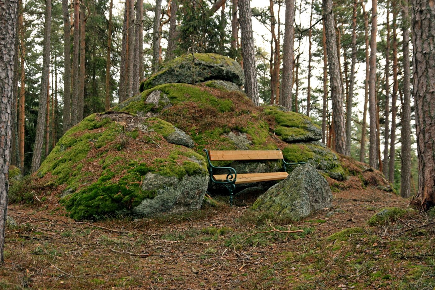
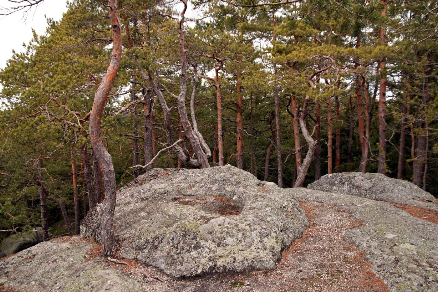
From Langschlag, hike toward Bruderndorf via the “Kleiner Semmering” and the European watershed (Danube – Black Sea / Lainsitz – North Sea) to the Bruderndorf stop (tunnel and water station for the steam locomotive). The return route takes you through the villages of Bruderndorf and Stierberg. From there, the trail runs parallel to the Steinwanderweg and leads over the Höllgraben (Höllgraben farm road) back to the starting point in Langschlag. The railway museum at the Langschlag station is open while the train is stopped in Langschlag. It’s also possible to cover part of the trail by taking the Waldviertelbahn. Stops are located in Langschlag and Bruderndorf. From here, you can connect to the Bad Großpertholz Railway Hiking Trail and the Lower Austria State Circular Hiking Trail (NLW) 08.
Take the A22 and S5 or S33 to Krems — take the B37 to Zwettl — take the B38 to the town center of Langschlag
Attractions:
“Frauenwieserteich” recreational area with an 11-hectare fishing and swimming pond, sunbathing area, mini-golf, and buffet; Biene.Langschlag Adventure Park
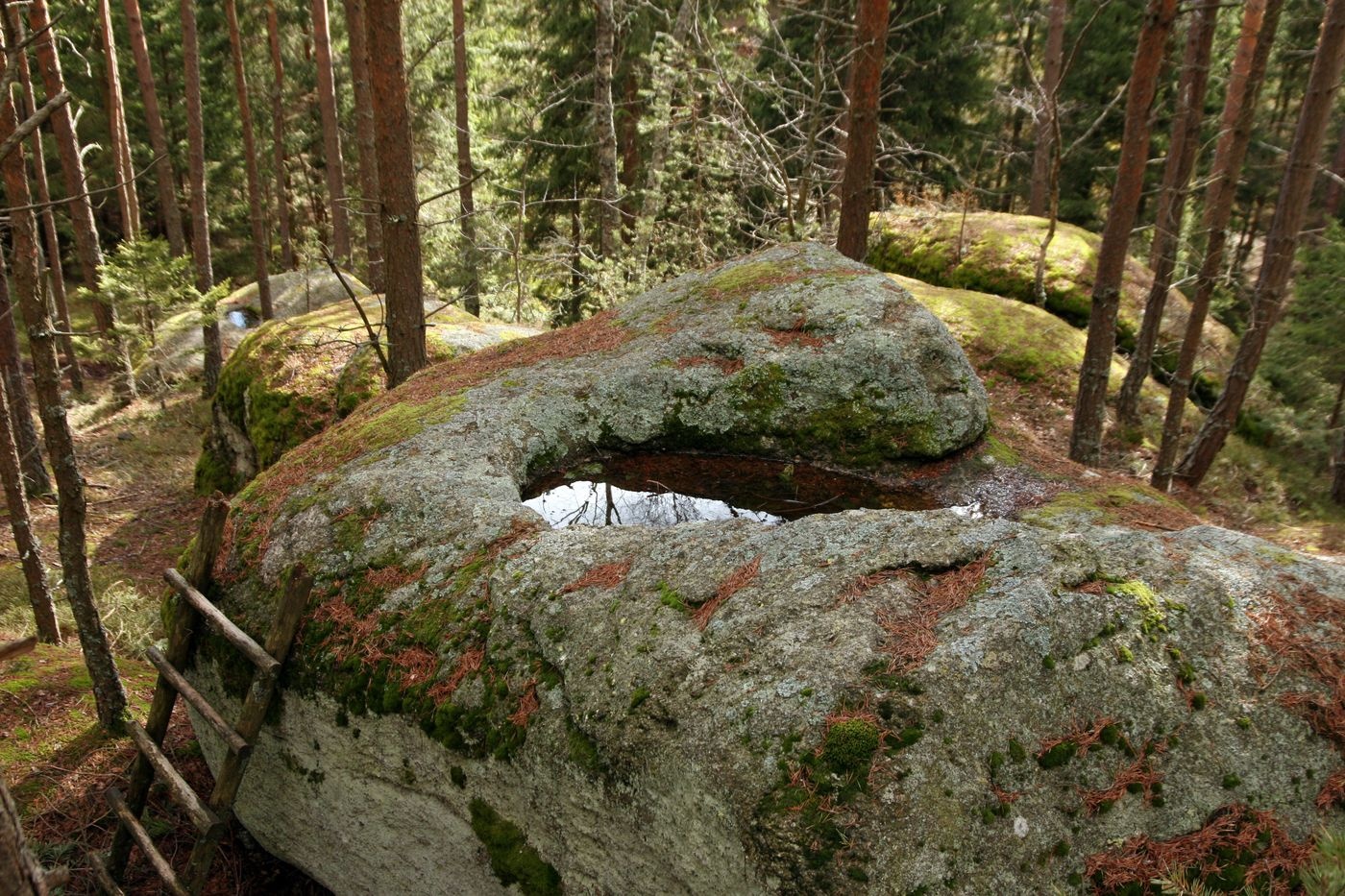
Stone Hiking Trail
Forest Nature Trail, cycling and MTB routes
Merchants’ and Beer Museum
World’s Longest Plank, World’s Longest Wooden Chain,
Waldviertel Narrow-Gauge Railway
Railway Museum
Bison Ranch
Market Town of Langschlag
3921 Langschlag, Marktplatz 37
Tel. 02814/ 8218
Fax: 02814/ 8218-4
gemeinde@langschlag.gv.atgemeinde@langschlag.gv.at
www.langschlag.gv.at
WALDVIERTEL Tourism
3910 Zwettl, Sparkassenplatz 1/2/2
(T) +43(0)2822/54109, Fax Ext. 36
Toll-free within Austria:
(T) +43(0)800/300 350
(E) info@waldviertel.at
(I) www.waldviertel.at
Letzte Änderung: 3 Aug 2026