
Bernhardiweg in the Waldviertel
Use our AI guide
Do you have any questions about your stay?

Zwettl Abbey - Oberstrahlbach - Sallingstadt - Schweiggers - Jagenbach - Siebenlinden - Weitra - St. Wolfgang - Spital - Johannesberg - Großschönau - Wurmbrand - Groß Gerungs - Etzen - Rosenau Castle - Zwettl - Zwettl Abbey
Zwettl Abbey - Oberstrahlbach - Sallingstadt - Schweiggers - Jagenbach - Siebenlinden - Weitra - St. Wolfgang - Spital - Johannesberg - Großschönau - Wurmbrand - Groß Gerungs - Etzen - Rosenau Castle - Zwettl - Zwettl Abbey
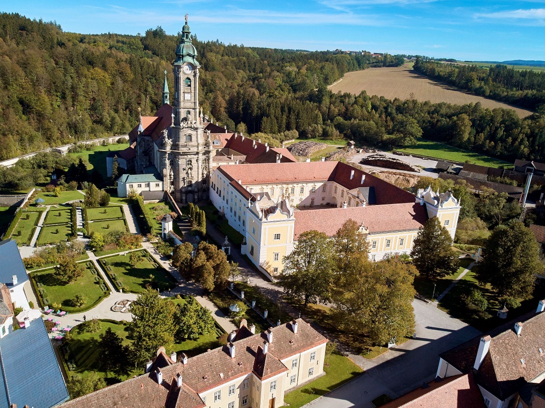
The Bernhardiweg is a pilgrimage route in the Waldviertel region of Lower Austria, named after St. Bernard of Clairvaux. It connects several historic and spiritual sites and invites you to discover the region’s rich history and scenic beauty.
Let us take care of the planning and your luggage so you can fully enjoy your hiking experience. >> PLAN YOUR TRIP
Make sure when choosing your route that it suits your fitness level. Check whether the restaurants you want to visit on the way are open. Pack your charged mobile phone and maps into your backpack.
Sturdy footwear, functional clothing, sun and rain protection, maps, optionally telescopic poles, first aid kit (blister plasters), sufficient provisions (snack, muesli bars, fruit, water).
You can find the detailed route description here: https://www.zwalk.at/der-bernhardiweg-im-waldviertel/
Find the best and fastest way to the start point of the route using the route planner: https://www.google.at/maps
All information about all bus and train lines to the Waldviertel can be found at www.vor.at or at www.oebb.at.
Waldviertel Tourism
3910 Zwettl, Sparkassenplatz 1/2/2
(T) +43 2822 54109
(E) info@waldviertel.at
(I) www.waldviertel.at/pilgern-bernhardiweg
Letzte Änderung: 4 Aug 2026