Bildföhrenweg
Use our AI guide
Do you have any questions about your stay?

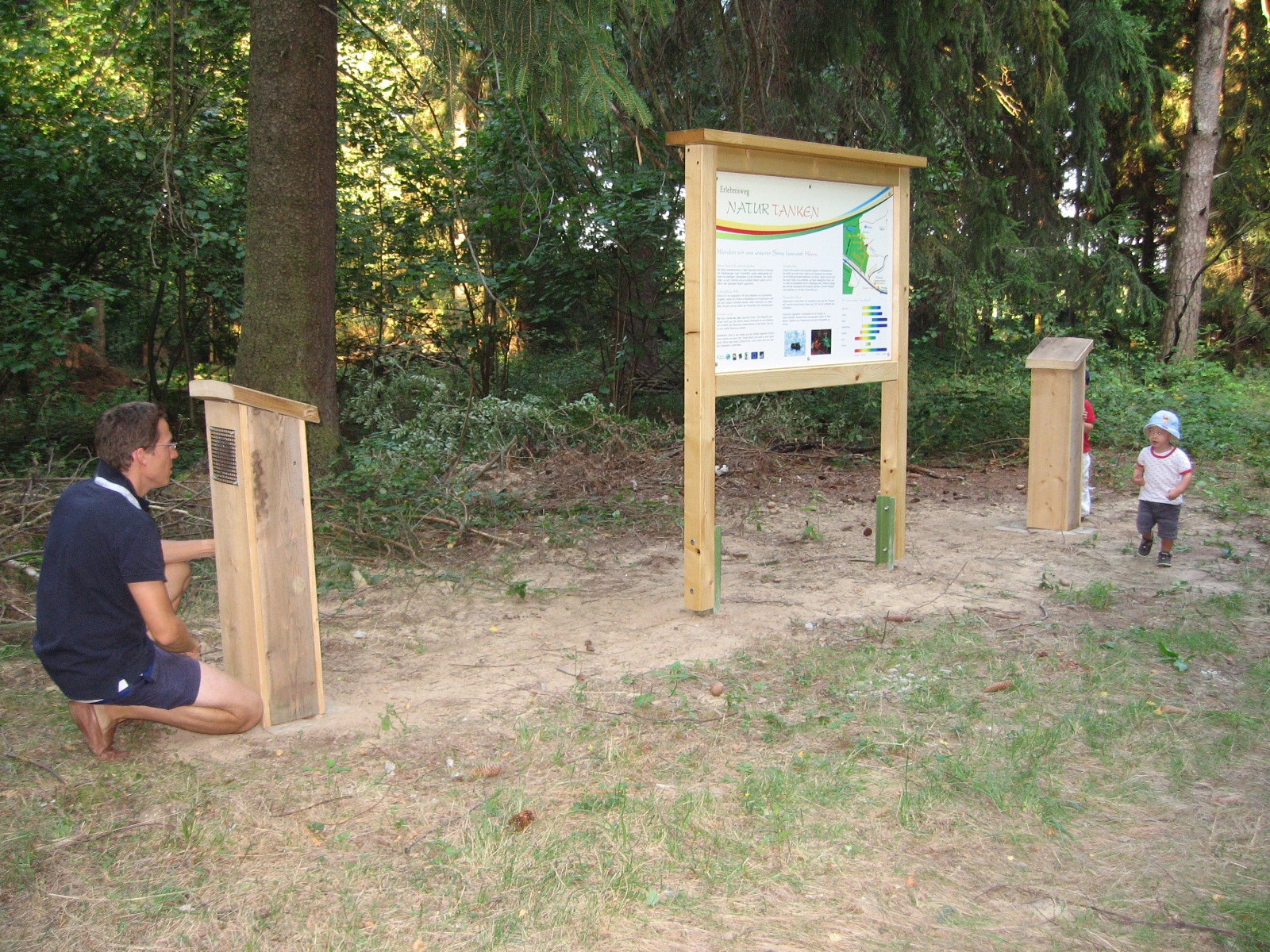
Hiking tour Starting from Dietmannsdorf - Wildhäuser (Brunn/Wild municipality), GH Powisch parking lot, starting point of the "Natur tanken" nature trail
The Wild is an extensive forest that stretches up to 580 m above sea level. North of the Horner Becken basin, on the edge of the forest, lies the municipality of Brunn with the villages of Atzelsdorf, Dappach, Dietmannsdorf, Frankenreith, Fürwald, Neukirchen, St. Marein, Waiden and Wutzendorf. The hiking trails invite you to become aware of your senses again, enjoy the forest air, feel the grass under your feet and hear the gentle murmur of the stream. Give yourself time and nature will give you impressions and peace for the soul.
The loop trail through Wild starts at the parking lot by the Powisch Inn in Dietmannsdorf–Wildhäuser and takes you through the municipal areas of Brunn/Wild, Ludweis–Aigen, and Irnfritz–Messern. After about
500 m along the “Natur tanken” themed trail, which runs parallel to the B2, turn right onto the path leading into the Wild forest. Following forest trails, you’ll reach the fish ponds; from here, the route continues for a short distance along the “Wild Rundweg.” After a few hundred meters on forest trails, you’ll reach a paved dirt road leading to a wayside shrine. Here, you’ll leave the Wild Rundweg heading north and arrive at the quarries. The trail continues straight ahead through the forest into the cadastral municipality of Blumau within the municipal area of Ludweis–Aigen. At the intersection, the trail branches off to the right and runs for a short distance along the so-called “Grenzweg.” The route passes a small marsh along the edge of the forest. Shortly before Blumau, the trail takes you through the underpass of the Franz-Josefs Railway, and you’ll arrive in the village. After a loop through the village past the church, the trail leads back to the Franz-Josef Railway. You cross the tracks and head south on dirt roads toward Giewerskreuz. After a few hundred meters, you’ll re-enter the expansive forest area of Wild. Follow the forest road straight ahead to the Bildföhre. Here, a forest path branches off to the east into the municipal area of Irnfritz–Messern. At the country road near the former Mehlführer sawmill, there are now two route options. The longer route (on Trail 92a) takes you a short distance along the road toward Rothweinsdorf, then along field and forest paths to the Grub ruins. From here, you’ll follow the Thaya-Taffa-Wild Circular Hiking Trail (633) to the former Österreichermühle. On the shorter route, you cross the country road at the former Mehlführer Sawmill and hike along the edge of the forest to the fish pond near the former Österreichermühle. Here, the two route options meet again. Following a rustic forest path next to a small spring (the old Mühlsteig) toward the west, you’ll reach Dietmannsdorf. The route takes you through the village and from there southwest along the country road back to the starting point in Dietmannsdorf–Wildhäuser.
Vienna – Stockerau – Horn – Brunn an der Wild
Linz – Freistadt – Karlstift – Zwettl – Rastenfeld – Pölla – Winkl – Brunn an der Wild
Sights:
Fortified Church of St. Martin in Neukirchen an der Wild
Pilgrimage Church of St. Marein dedicated to the Blessed Virgin Mary
Fortified Church of St. Lawrence in Dietmannsdorf
Restored old village well on the village square in Dietmannsdorf
Municipality of Brunn an der Wild
Schulstraße 15
3595 Brunn an der Wild
T 02989/2220, F DW 4
gemeinde@brunn-wild.gv.at
www.brunn-wild.gv.at
WALDVIERTEL Tourism
3910 Zwettl, Sparkassenplatz 1/2/2
(T) +43(0)2822/54109, Fax Ext. 36
Toll-free within Austria:
(T) +43(0)800/300 350
(E) info@waldviertel.at
(I) www.waldviertel.at
Letzte Änderung: 3 Aug 2026