Braunegger Loop Trail
Use our AI guide
Do you have any questions about your stay?

Hiking tour Starting from Braunegg, Fire Station
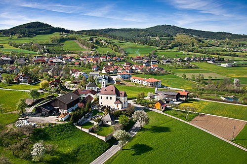
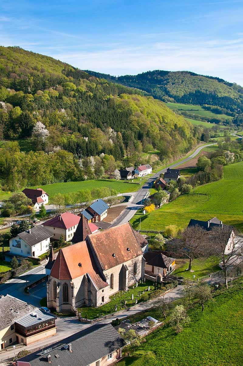
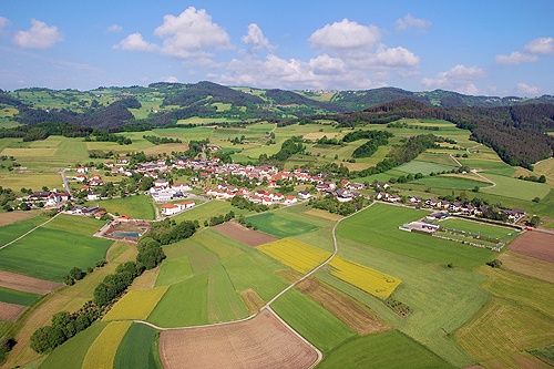
The six km long Braunegg circular trail leads us from 860m above sea level slightly downhill through a mixed birch and spruce forest and across a meadow to the Eibelhof farm. From here, a wonderful forest and meadow path leads approx. 700m uphill to Scheib, which we hike through. From the Jägerwirt we walk another two kilometers along a paved road back to Braunegg (Gasthof Mayer, Gasthof Liebner). 200m before Braunegg is the most beautiful vantage point: Wiegenhalde/"Wiegenhalt" with a magnificent view of the Alps. The hiking trail is uniformly signposted throughout with yellow signs.
The six km long Braunegg circular trail leads us from 860m above sea level slightly downhill through a mixed birch and spruce forest and across a meadow to the Eibelhof farm. From here, a wonderful forest and meadow path leads approx. 700m uphill to Scheib, which we hike through. From the Jägerwirt we walk another two kilometers along a paved road back to Braunegg (Gasthof Mayer, Gasthof Liebner). 200m before Braunegg is the most beautiful vantage point: Wiegenhalde/"Wiegenhalt" with a magnificent view of the Alps. The hiking trail is uniformly signposted throughout with yellow signs.
Wachau Mountain Rescue Emergency Number: 140.
Hiking boots, rain gear, and drinking water. The Wachau hiking map is available from Donau Niederösterreich Tourismus, www.wachau.at
We start at the fire station in Braunegg and hike past the "Brauneggerhof" inn toward the Caritas workshop. We continue straight ahead to the edge of town and head downhill past the horse paddock. We then hike through a mixed birch and spruce forest, go straight at the next intersection, and follow the next left turn to the left. At the next intersection, we go straight ahead, slightly downhill. We cross the small clear-cut area and turn right at the meadow, cross it, and then follow a rocky path downhill to the “Eibelhof.” Here the path splits, and we take the outer right path and follow it to the shed. Right at the right-hand curve, the trail turns left onto a beautiful meadow path. We then turn left twice. We hike uphill through a spruce forest toward Scheib. While still in the forest, the trail turns back into a paved road, and we follow it to the small bridge in Scheib, where we turn right and follow the paved road through the village in a wide left curve to the Jägerwirt. Here we turn left and walk along the paved road for about 2 km toward Braunegg. About 200 meters before Braunegg, we reach the most beautiful viewpoint: Wiegenhalde/“Wiegenhalt,” with a fantastic view of the Alps. There, we turn left (parallel to the Ysper-Weitental Circular Hiking Trail 22/05) toward the Caritas Workshop. Hidden among the trees on the left at the edge of the forest is a quiet bench where we can take in the beautiful landscape. We now follow the small paved road to its end. At the Caritas workshop, we turn right and return to the Braunegg fire station.
Braunegg, fire station.
Take the A1 to Melk, then the B3 to Weitenegg; there, turn right onto the B216 toward Leiben/Pöggstall, and just before Pöggstall, turn right toward Braunegg.
Braunegg is not accessible by public transportation. On weekends, the Jauerlinger on-demand bus operates. It connects the Jauerlinger Nature Park communities (Aggsbach, Emmersdorf, Maria Laach, Mühldorf, Raxendorf, Spitz, and Weiten). The on-demand bus must be requested by phone at 0810/810278. A detailed“Mobil in der Wachau” schedule is available from Donau Lower Austria Tourism.
For a place to stop for a meal or spend the night, we recommend the Braunegger Hof Inn, run by the Mayer, Braunegg 24, Phone: +43(0)/2758/2236, Fax: Ext. 24; Landgasthof Liebner-Pritz, Braunegg 17; and Gasthof Jägerwirt (between Scheib and Braunegg).
Letzte Änderung: 3 Aug 2026