Bründl Chapel Trail
Use our AI guide
Do you have any questions about your stay?

Hiking tour Starting from Groß Siegharts Main Square, Hiking Trail Map
Groß-Siegharts, a typical small town in Lower Austria, lies 534 m above sea level. Nestled in the gently undulating landscape of the Waldviertel, the town has its own special history. The town was first mentioned in documents around 1150. A market town since 1727, Groß-Siegharts was granted town charter in 1928 and has a population of almost 3,000. At the beginning of the 18th century, the landowner Count Ferdinand von Mallenthein introduced spinning and weaving as manual labor. This soon developed into a flourishing industry. The ribbons produced were carried and sold throughout the Danube Monarchy by the "ribbon bearers" with the cry "Bandl, Zwirn, kaaft's". Today, the eventful history of the Bandlkramerlandl can be traced in the "Living Textile Museum". Weaving looms that are over a hundred years old but still in working order, a weaver's cottage and the household goods of the "Kleinhäusler" give a comprehensive impression of the way of life of earlier generations. Also worth seeing is the centuries-old castle, once the seat of a count and now the seat of the town council. The former knights' hall of the castle houses the gallery of the "Teppichsticker" company. High-quality wall and floor carpets bear witness to the masterful craftsmanship. The interior of the parish church, built between 1723 and 1727 under Count Mallenthein, is a jewel of the Baroque period
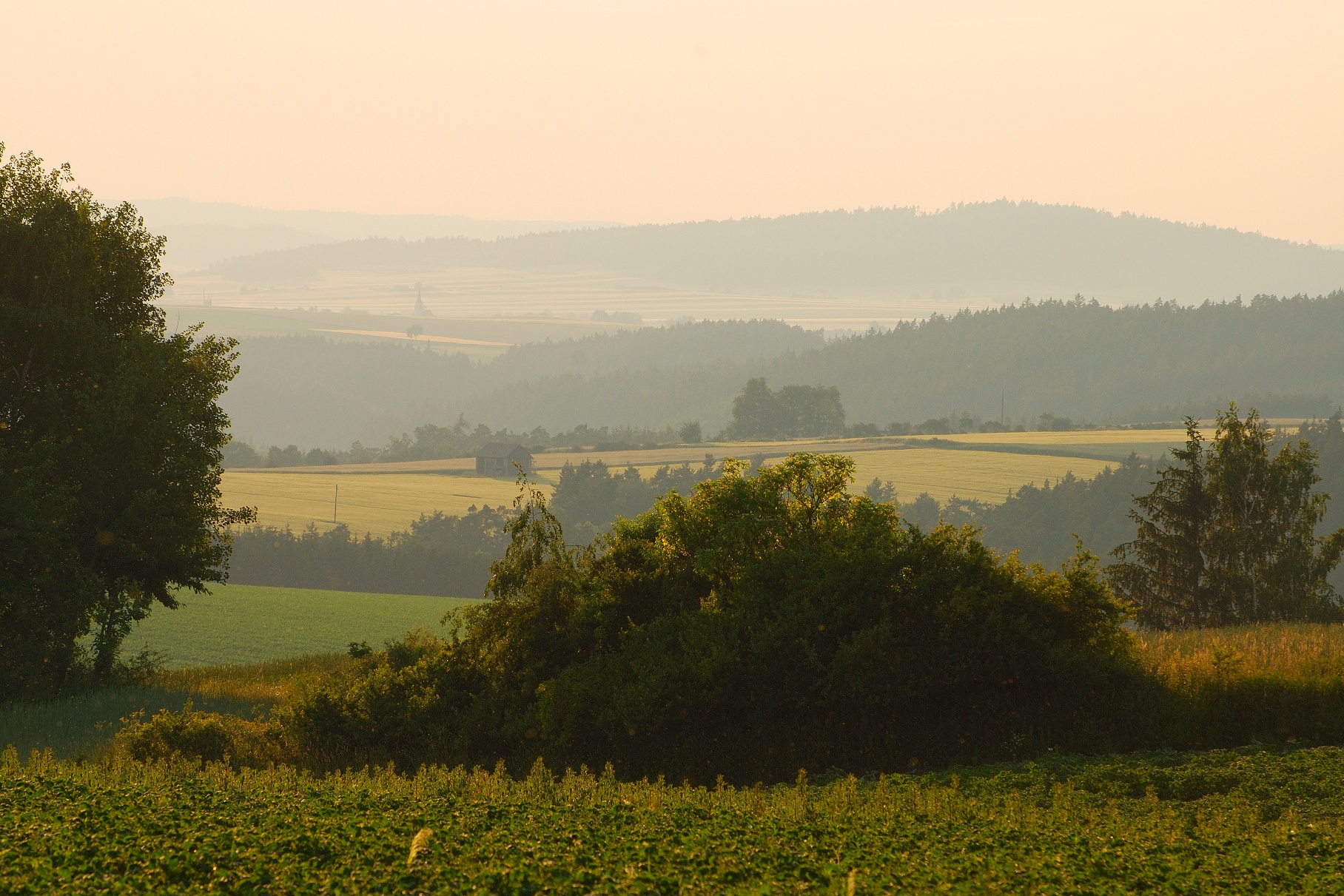
Starting at the hiking trail map on the main square, walk along the main square and turn left onto Waidhofner Straße. At the intersection, turn onto Rudolf-Hohenberggasse. At the junction with Rudolf-Hohenberggasse, the building complex of the former carpet and upholstery fabric factory serves as a reminder of the glorious past of Groß-Siegharts’ textile industry. In the 1950s, up to 500 textile workers were employed here. Passing the Sägeteich pond and the Waldbad—one of the most beautiful natural swimming areas in the Waldviertel—the trail, which now begins to climb, leads you toward the Waldstadion. Crossing the Seifriedsgraben, the hike takes you to the Seifriedswald. From the intersection of hiking trails 31 and 32, you’ll head west; after a short while, you’ll cross the road to Götzles and follow a section of the “Bandlkramer Circular Hiking Trail” (No. 37) all the way to the Bründl Chapel. Even in ancient times, hikers had become aware of the spring located here. They used the water to wash their eyes. As early as 1153, the Church of St. Mary in Ulreichs stood not far from today’s Bründl Chapel (built 1888–1902), as commemorated by the memorial stone located here. Ulreichs is among the numerous villages in the Waldviertel region that were abandoned following the Hussite Wars (1419–1436). From here, return to the intersection and turn left toward Dietmanns, passing the former Wattamühle mill, across the ditch to the Waldbad, where you can plan a break at the café located there. Rudolf-Hohenberggasse, Waidhofner Straße, Hauptplatz.
Vienna: A 22 – Stockerau – B4 to Horn – B 2 to Göpfritz an der Wild – L 55 to Groß Siegharts
Linz: A 7 toward Freistadt – B 310 to Freistadt – B 38 to Karlstift – B 41 to Schrems – B 2 to Vitis – B 36 to Waidhofen/Thaya – L 60 to Groß Siegharts
Attractions:
City Parish Church
Castle
Textile Museum
Municipality of Groß-Siegharts
3812 Groß-Siegharts, Schlosspl. 1
T 02847/23 71, F DW 28
stadtgemeinde@gde.siegharts.at
WALDVIERTEL Tourism
3910 Zwettl, Sparkassenplatz 1/2/2
(T) +43(0)2822/54109, Fax Ext. 36
Toll-free within Austria:
(T) +43(0)800/300 350
(E) info@waldviertel.at
(I) www.waldviertel.at
Letzte Änderung: 3 Aug 2026