Buchenwald Trail, Blindenmarkt
Use our AI guide
Do you have any questions about your stay?

Hiking tour Starting from Raiffeisen Bank Blindenmarkt
Circular hiking trail via the Öhlsitzmühle and Scheiterbichl
Circular hiking trail via the Öhlsitzmühle and Scheiterbichl
The trail leads via Prasdorf and Thalling to the Öhlsitzmühle mill, along the municipal border with St. Georgen am Ybbsfelde. Continuing through the forest near Scheiterbichl and to Schotterhöhe, you reach the Windlucke and head towards Burgstaller Kogel, where the trail leads back towards the town center.
Sturdy footwear
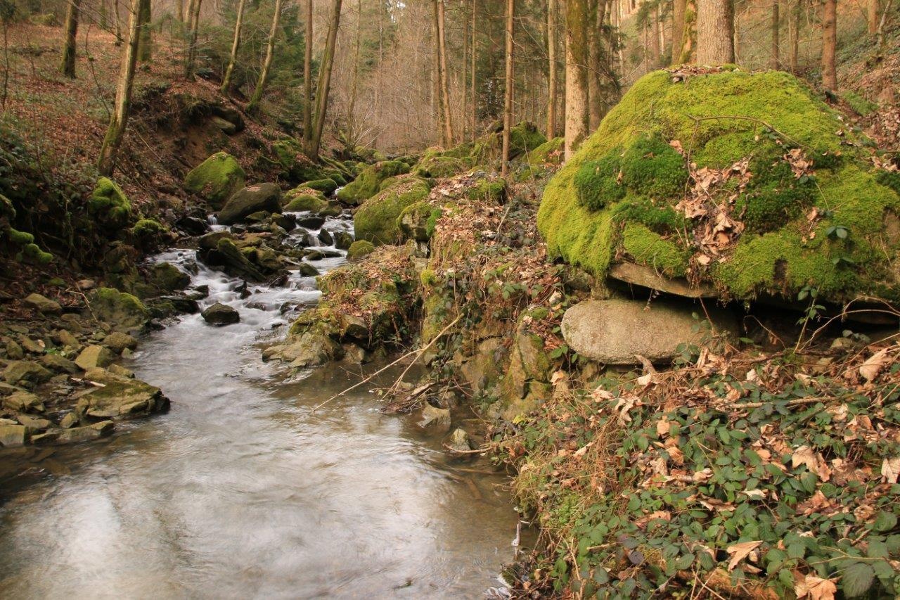
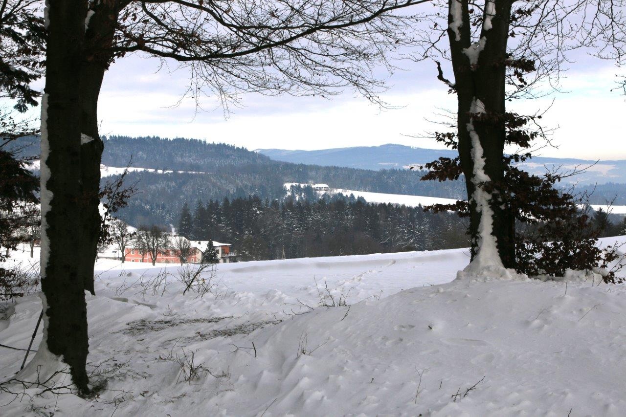
The Blindenmarkt Buchenwaldweg takes us from Prasdorf to Thalling along the Blindenmarkt municipal boundary with St. Georgen. The Blindbach stream accompanies the Buchenwaldweg up to the Öhlsitzmühle. Slightly ascending, we now reach the forest at Scheiterbichl (from here, it's 1 hour to Hengstberg in St. Martin-Karlsbach with a very good view). From here, it goes over the gravel ridge and the hamlet of Obernberg, descending again via the Windlucke towards Burgstaller Kogel, where paths 7 and 8 merge. Via Kottingburgstall, you return to the town centre of Blindenmarkt.
Trail marking: blue-white, no. "8"
Large park & ride car park at Blindenmarkt train station near the town centre
Motorway junction "Amstetten Ost", follow signs towards Blindenmarkt town centre
Take the Westbahn line to the Blindenmarkt stop or the local bus to the Blindenmarkt Ortsmitte stop