
gpx_addressbase_17932
Hiking trail, No. 40 Reformation and Swedish War: Bombs on Reittern - the castle barn of Rastbach - the destruction of Marchartsreuth by the Swedes
- Starting point of the tour
- Gföhl, main square
- Tour destination
- Gföhl, main square
- Fitness level required:2/6
- Overall experience:5/6
- Scenery:5/6
- Lowest point
- 550 m
- Highest point
- 606 m
Hiking trail, No. 40 Reformation and Swedish War: Bombs on Reittern - the castle barn of Rastbach - the destruction of Marchartsreuth by the Swedes
Topic: Reformation and Swedish War History
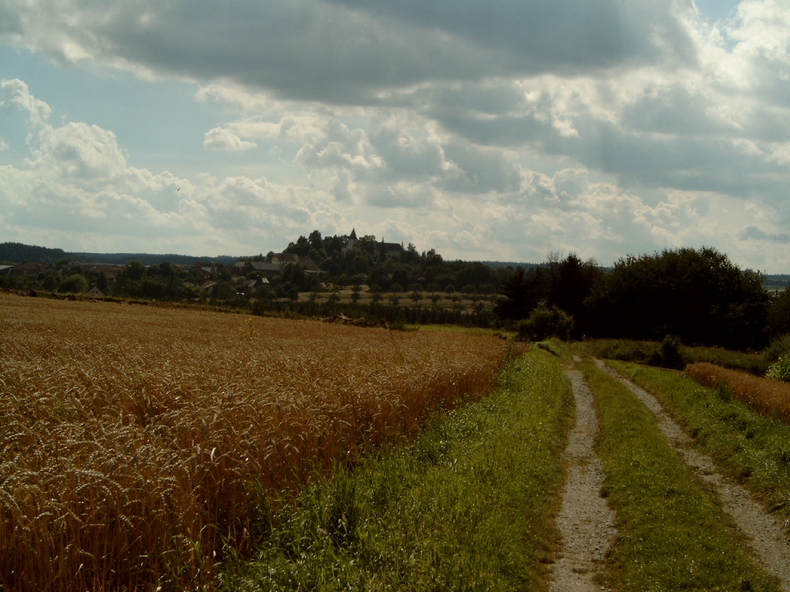
In the last days of the war on February 15, 1945, a house in Reittern was bombed, killing 2 people. A castle stable was built on the Schlossberg in Rastbach in the 12th century, on the site of which the Protestant Polheims built a castle in the 16th century, which was destroyed by imperial troops during the Reformation in 1619. In 1645, the Swedes devastated Rastbach and the neighboring village of Marchardsreuth = Moritzreith (Swedish cross on the Genseck). The present parish church of St. Pankraz dates back to the Romanesque castle chapel and was extended in Gothic and Baroque style. The castle - a simple three-winged building privately owned by the Ehrenfels family - cannot be visited.
Make sure when choosing your route that it matches your fitness level. Check whether the gastronomy establishments you want to visit along the way are open. Pack your charged mobile phone and map material in your backpack. For cross-border routes, always carry a passport or identity card.
Sturdy footwear, functional clothing, sun and rain protection, map material, if necessary telescopic poles, first aid kit (blister plasters), sufficient provisions (snack, muesli bar, fruit, water).
From the main square in Gföhl, you walk along Zwettler Straße to the cemetery of Alt Gföhl, then over the Au to Reittern, over the Lüss to Rastbach (church and castle on the Schlossberg, 615 m), continuing past the Meierhof – where you enjoy the view towards Moritzreith – and along the avenue path, lined with old fruit orchards on the Schlossbreiten, to the Neuwirtshaus, a former coaching and inn. You cross the bridge over the B37 and hike through the Ried Baumgarten to Eisengraben up to Jaidhof (castle, museum). The route leads you over the "White Cross" (Raaber Kreuz) on the Windighöh near the Gföhl road maintenance depot back to the starting point.
Parking spaces in the Gföhl town area – beware of short-term parking zones.
From Vienna take the A22 and S5 or the A1 and S33 to Krems and from there via B37 to Gföhl.
From Linz take the A1 to St. Pölten, then via S33 to Krems and from there via B37 to Gföhl.
All information about all bus and train lines to the Waldviertel can be found at www.vor.at or www.oebb.at.
Recommended period
J
F
M
A
M
J
J
A
S
O
N
D
Municipality of Gföhl
3542 Gföhl, Hauptplatz 3
(T) +43 2716 6326-0
(E) gemeinde@gfoehl.gv.at
(I) www.gfoehl.gv.at
Waldviertel Tourism
3910 Zwettl, Sparkassenplatz 1/2/2
(T) +43 2822 54109
(E) info@waldviertel.at
(I) www.waldviertel.at
Letzte Änderung: 20 May 2026