Chapel hike into the Gföhleramt
Use our AI guide
Do you have any questions about your stay?

Hiking tour Starting from Gföhl, Main Square
Wars, plague and conflagration: settlement history of the Gföhlerwald and its forest districts
Wars, plague and conflagration: settlement history of the Gföhlerwald and its forest districts
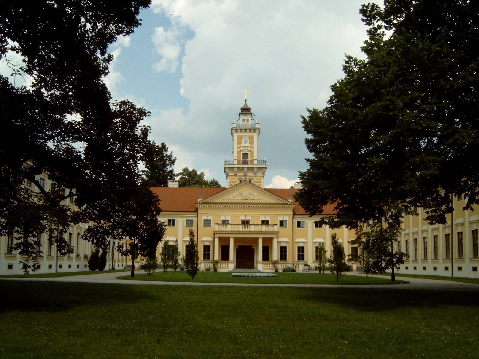
The originally closed "Vorst" has only been inhabited for 400 years, before that it was the hunting ground of the sovereign (see Jaidhof = hunting farm). In 1597, rebellious Waldviertel farmers hid in the Gföhlerwald. After the sale in 1608, the forest was settled and managed by foresters on behalf of the new owners of the lordship of Gföhl for more intensive use by woodcutters, charcoal burners, glassmakers and tenant farmers (hence the name "Amt" for the scattered settlements). In 1771, 8 farmers, subjects of the Lord of Sinzendorf, were banished to the Banat along with their families for refusing to pay their robot services. After the great plague epidemic, the Rosalia Chapel was built in the Gföhleramt in 1680 (Rosalia - the plague saint) and enlarged twice. A memorial stone near the chapel commemorates the development of the Gföhlerwald forest, not far from it is the Fux Farm Museum. The former glassmakers' settlement in the "kalte Graben", the threshing huts, fish ponds, the Schweizerhof, the "Altes Eishaus" museum and the classicist castle in Jaidhof are reminders of the once very wealthy lordship.
Make sure when choosing the route that it matches your physical condition. Check whether the gastronomy businesses you want to visit on the way are open. Pack your charged mobile phone and map material in your backpack.
Sturdy footwear, functional clothing, sun and rain protection, map material, if necessary telescopic poles, first aid kit (blister plasters), sufficient provisions (snacks, muesli bars, fruit, water).
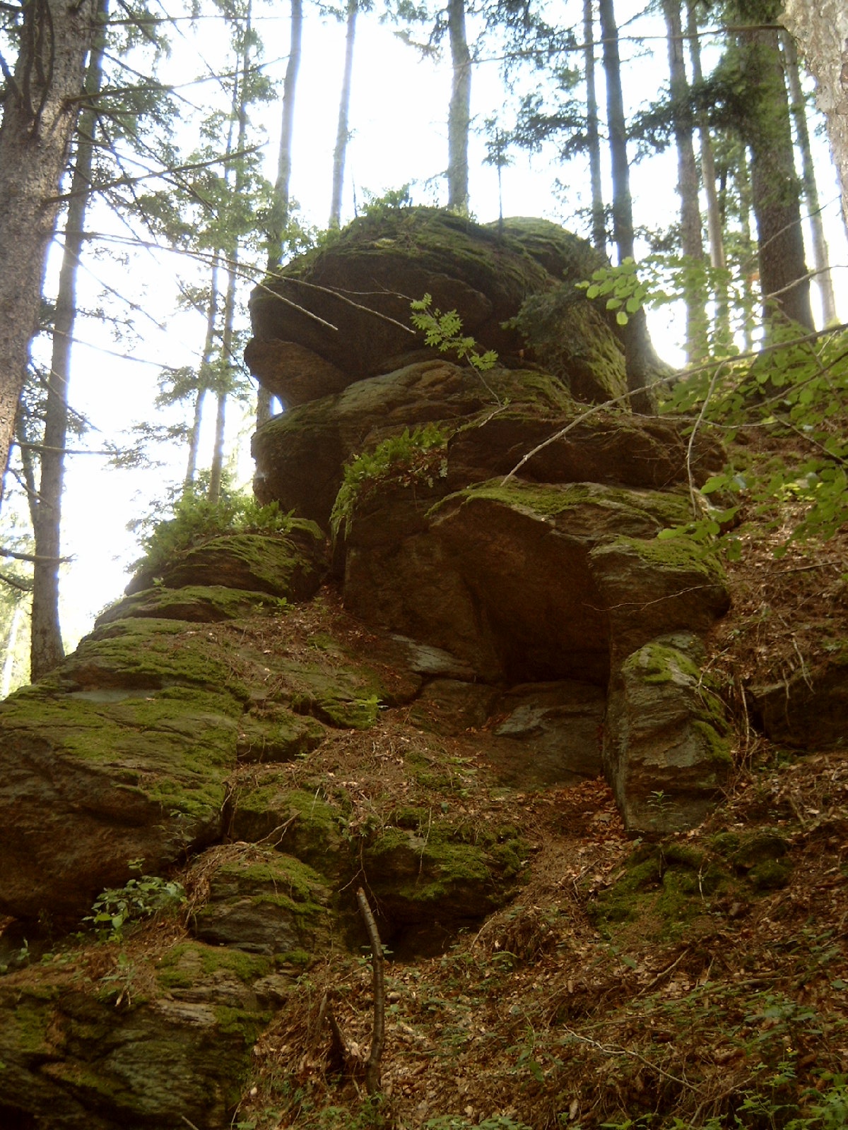
From the main square, you walk through Jaidhofer Gasse and Brunnkandlallee to Kreuzgasse until the heating plant. Through the underpass of the B37, the path leads along the Jaidhofer castle park to Schweizerhof (manor of the lordship). You continue on the Red Cross path to the Rosalia chapel and the farmhouse museum, up to the Reisingerhöhe (648 m) and from the Winkler guesthouse over to the Eisenbergeramt. Here you can make a detour to the Florian chapel (Florian = patron saint against fires) (signposted). In Kalter Graben, you pass the Drachenstein (note the ballad engraved here) and the glassmakers' settlement and continue hiking over the Drescher pond and the Drescher huts back to the castle park (museum), over the Johannes path (wayside chapel) and through the underpass of the B37 back to the main square in Gföhl.
Sparkassenstraße (behind the town hall), Feldgasse parking lot (note partial short-term parking zone), Dipl. Ing. Leopold Figl-Platz (partial short-term parking zone), warehouse
Take Vienna A22 and S5 or A1 and S33 to Krems and from there via B37 to Gföhl.
From Linz via A1 to St. Pölten, then via S33 to Krems and from there via B37 to Gföhl.
All information about all bus and train lines to the Waldviertel can be found at www.vor.at or www.oebb.at.
Municipality of Gföhl
3542 Gföhl, Main Square 3
(T) +43 2716 6326-0
(E) gemeinde@gfoehl.gv.at
(I) www.gfoehl.gv.at
Waldviertel Tourism
3910 Zwettl, Sparkassenplatz 1/2/2
(T) +43 2822 54109
(E) info@waldviertel.at
(I) www.waldviertel.at
Letzte Änderung: 15 Jul 2026