

gpx_addressbase_16781
Circular route in Harmanschlag
Hiking tour Starting from Harmanschlag
- Difficulty: Easy
- Distance: 4,71 km
- Duration: 1:20 h
- Ascent: 126 m elevation gain
- Descent: 125 m elevation gain
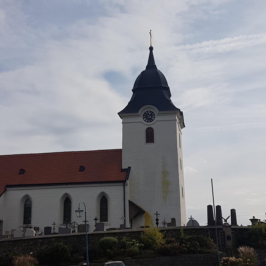
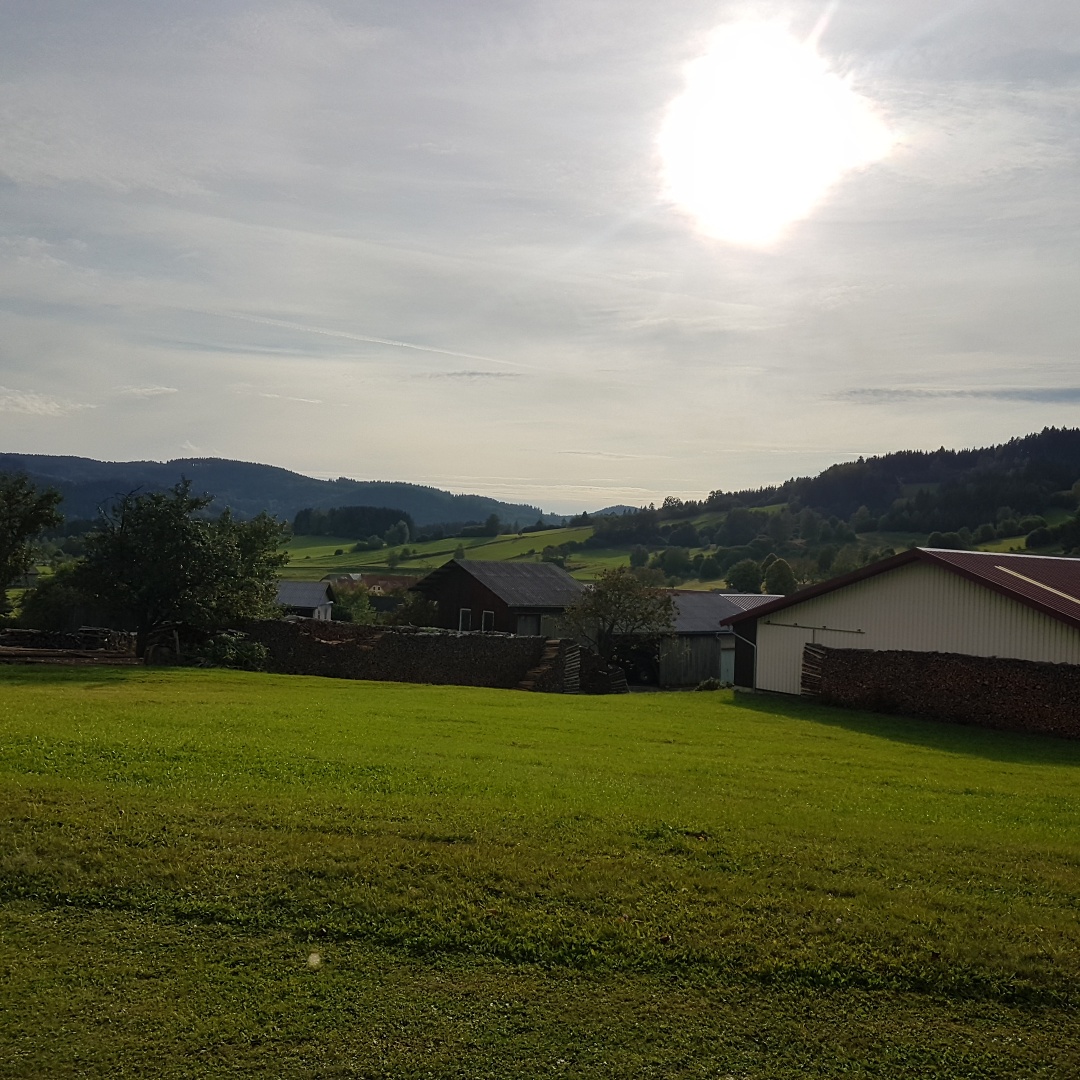
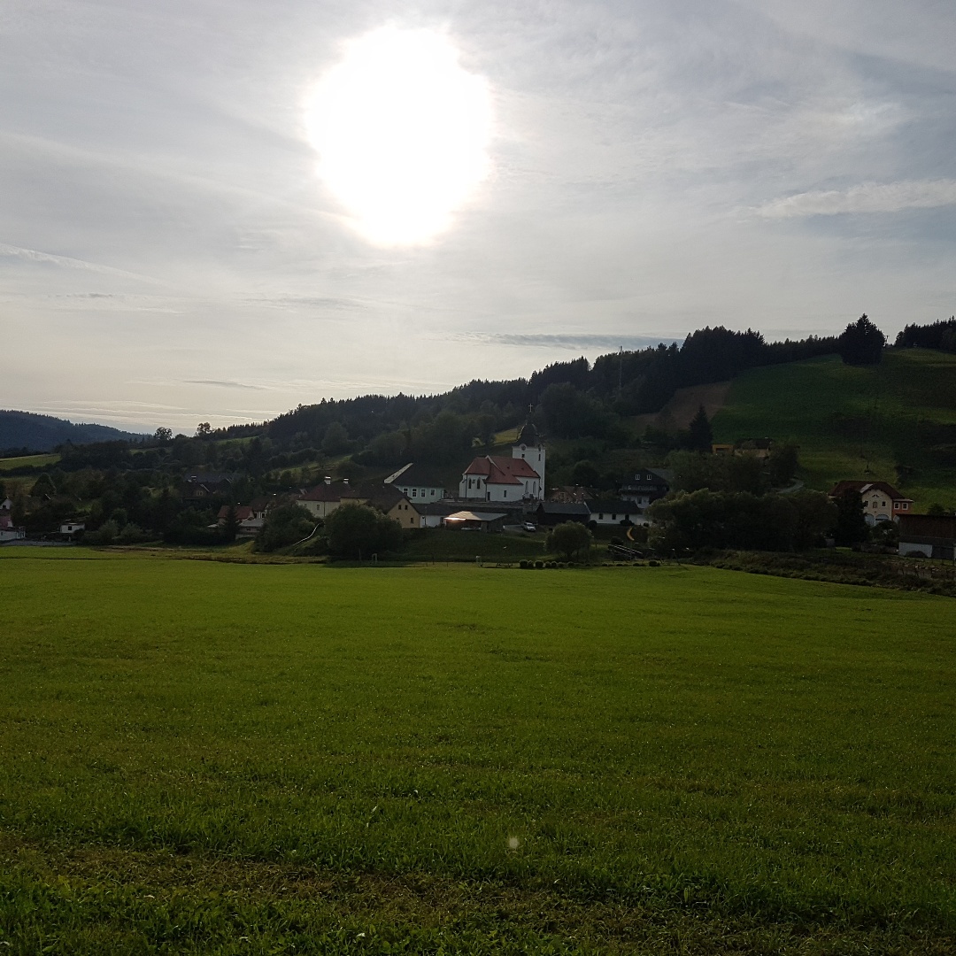
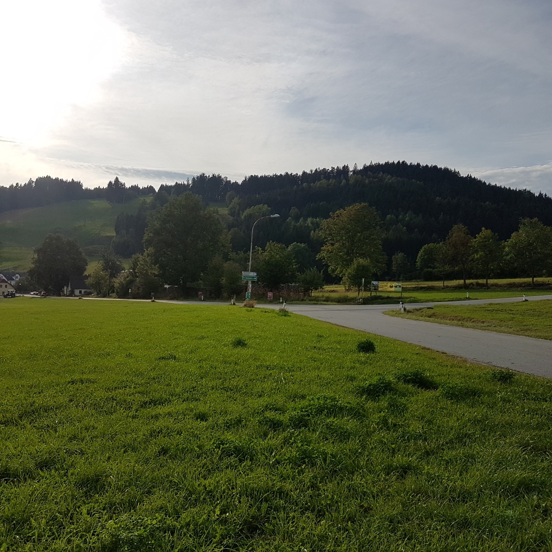
Circular hiking trail no. 74 in Harmanschlag (market town of St. Martin)
- Starting point of the tour
- Harmanschlag
- Tour destination
- Harmanschlag
- Difficulty: Easy
- Distance: 4,71 km
- Duration: 1:20 h
- Ascent: 126 m elevation gain
- Descent: 125 m elevation gain
- Fitness level required:2/6
- Overall experience:2/6
- Scenery:2/6
- Lowest point717 m
- Highest point840 m
- Round tour
Circular hiking trail no. 74 in Harmanschlag (market town of St. Martin)
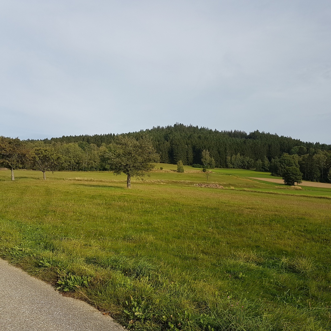
Route characteristics: 60% asphalt, 40% meadow and gravel path
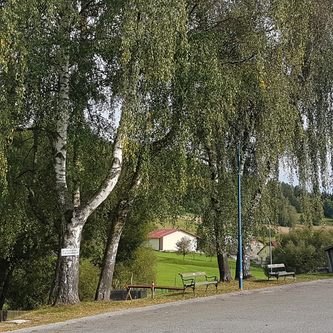
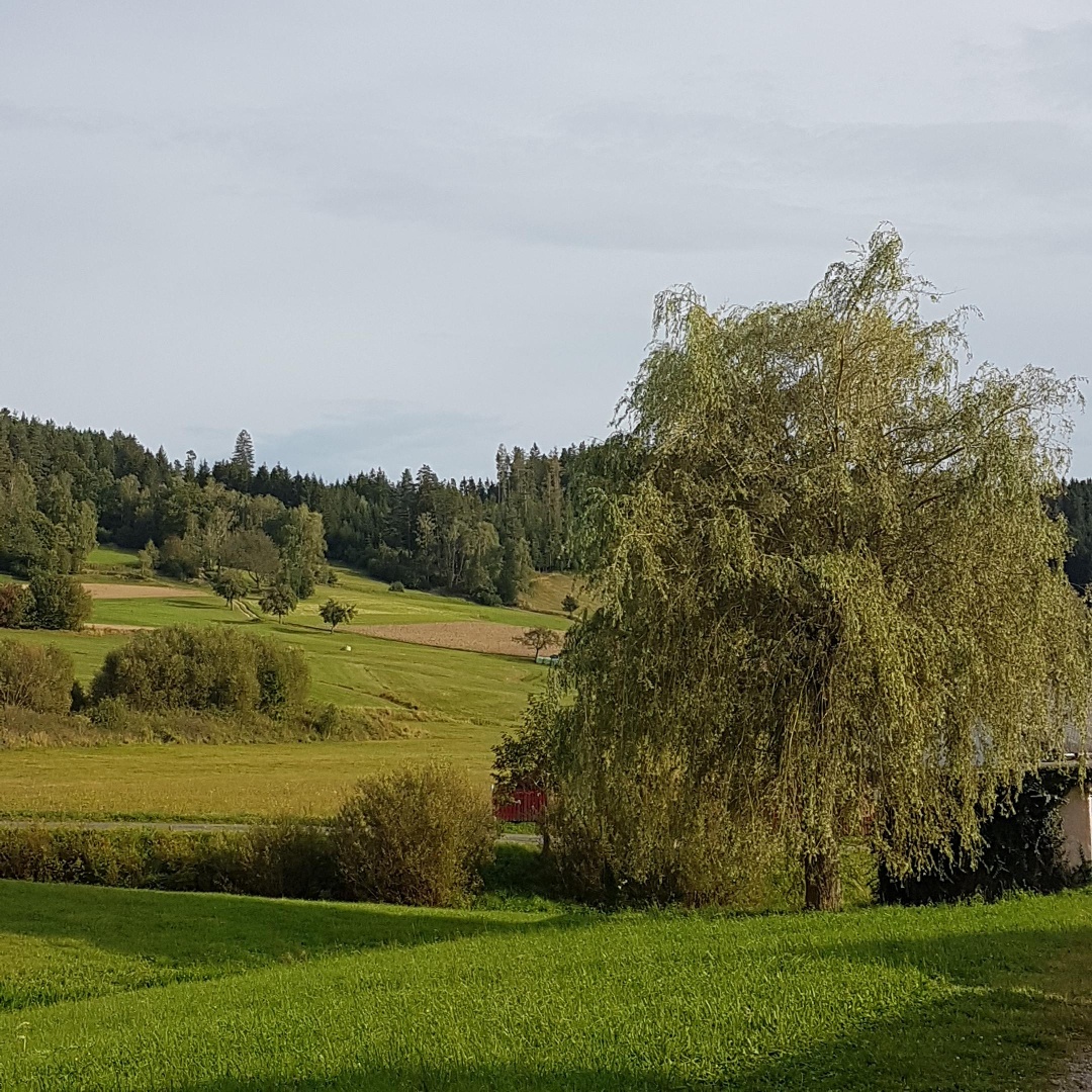
This path leads downhill through the village of Harmanschlag to the "Anderl am Berg", where it turns right towards Edlau (together with Warzensteinweg) to the Friedental junction. Together with hiking trail No. 72, it then continues over Friedental to Althütten. In Althütten, you cross the main road and continue on a field path towards Gemeindeberg. From there, it goes downhill again towards the village square.
You can plan your exact route with the VOR route planner. www.vor.at
Recommended period
J
F
M
A
M
J
J
A
S
O
N
D
Market Town St. Martin
3971 Sankt Martin 1
(T) +43 2857 2262
(E) gemeinde@st-martin.eu
(I) www.st-martin.eu
Waldviertel Tourism
3910 Zwettl, Sparkassenplatz 1/2/2
(T) +43 2822 54109
(E) info@waldviertel.at
(I) www.waldviertel.at
Letzte Änderung: 20 May 2026