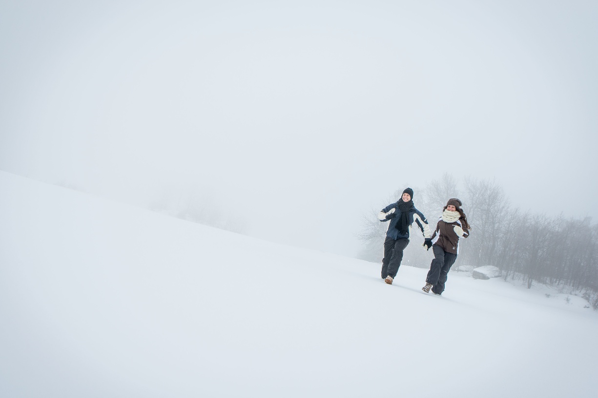
Diebsweg in Winter
Use our AI guide
Do you have any questions about your stay?

Tour Starting from Gutenbrunn Town Center – Mountain Bike Information Sign (near the fountain)
The market town of Gutenbrunn lies 858 meters above sea level in a wind-protected valley in the middle of Austria's largest closed forest area, the Weinsberg Forest.
The market town of Gutenbrunn lies 858 meters above sea level in a wind-protected valley in the middle of Austria's largest closed forest area, the Weinsberg Forest.
A short, steep climb of about 200 m leads to Birkenallee. You’ll reach the wildlife preserve. Cross the cross-country ski trail and follow the signs for Diebsweg. Walk along a beautiful forest path to the farmstead, and then take the paved road back to Gutenbrunn.
A1 - Westautobahn; Ybbs/Donau exit - B36 toward Zwettl to Laimbach – Gutenbrunn
Gutenbrunn Municipality
3665 Gutenbrunn 25
(T) +43 2874 6242-0
(E) gemeinde@gutenbrunn.at
(I) www.gutenbrunn.at
Waldviertel Tourism
3910 Zwettl, Sparkassenplatz 1/2/2
(T) +43 2822 54109
(E) info@waldviertel.at
(I) www.waldviertel.at
Letzte Änderung: 3 Aug 2026