DUR 9: Hafnerbach – Karlstetten
Use our AI guide
Do you have any questions about your stay?

Hiking tour Starting from Hafnerbach Church Square
The 160-kilometre Dunkelsteinerwald-Runde (DUR) connects the most beautiful places in the Dunkelsteinerwald region in a total of 9 stages (and 4 connecting trails). An incomparable enjoyment of nature and hiking. The ninth stage (DUR 9) leads from Hafnerbach to Karlstetten. All stages and connecting trails: www.dunkelsteinerwaldrunde.at.
The 160-kilometre Dunkelsteinerwald-Runde (DUR) connects the most beautiful places in the Dunkelsteinerwald region in a total of 9 stages (and 4 connecting trails). An incomparable enjoyment of nature and hiking. The ninth stage (DUR 9) leads from Hafnerbach to Karlstetten. All stages and connecting trails: www.dunkelsteinerwaldrunde.at.
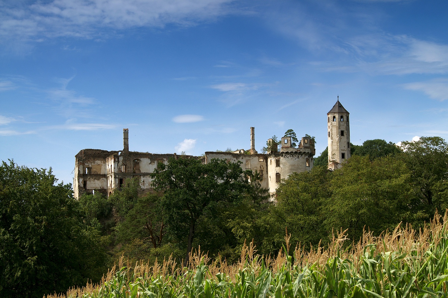
From Hafnerbach, we hike along the Zenobach to the statue of St. Zenos. Our route continues to the ruins of Hohenegg Castle, from where a steady climb awaits us until we reach the Dunkelstein, the highest elevation in the south of the region. Here we can enjoy a sweeping view of the landscape before we make our way to the Musterkreuz and hike to Neidling. From Neidling, we reach our destination of Karlstetten via Hausenbach.
Sturdy hiking boots, rain gear, plenty of drinks and snacks, and a hiking map of the Dunkelsteinerwald.
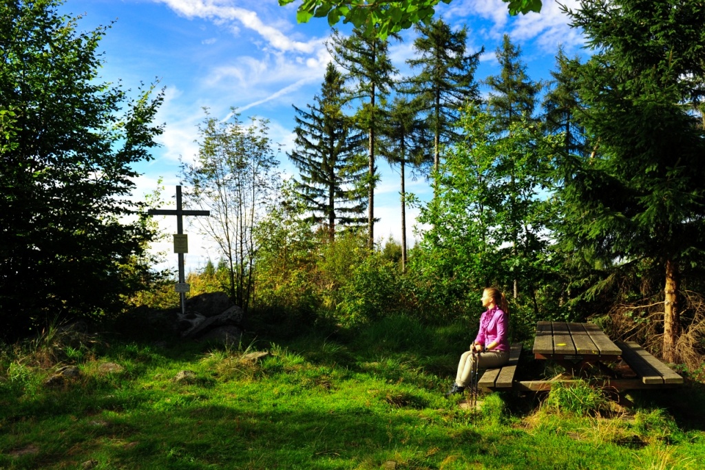
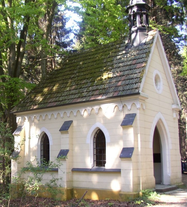
Our hike begins at Kirchenplatz in Hafnerbach and takes us past the Gaschinger butcher shop toward Windschnur. At the apartment complexes, we turn left and follow the path to the bridge over the Zenobach. Here we turn left and hike along the stream to the statue of Saint Zenos. After the statue, we take the right-hand curve and then immediately keep to the left to reach Pfaffing. At the state highway, we turn right and walk into the town center, where we turn right and follow the farm road toward Stein. Along the way, we catch our first glimpse of the Hohenegg castle ruins. In Stein, after the Schoderbeck Inn, we turn left and keep to the left until the staircase path to the castle ruins begins. This path takes us directly to the Hohenegg castle ruins, which are now only open during events. Our route continues toward Dunkelstein, and we turn right a few meters past the castle ruins. The forest trail leads us directly to the Dunkelstein intersection. From here, it’s just a few meters to the summit of Dunkelstein, where there’s an idyllic rest area offering sweeping views of the countryside. Back on the DUR, the trail leads to the right toward the Musterkreuz. Here we turn right and hike to the Maria Bildbuche Chapel, then leave the road again. The forest trail leads us to Enikelberg, where we turn left and then immediately keep to the left again. We walk along the edge of the forest until we reach a house, after which we turn left. We arrive at a road where we turn right and then left again after a few meters. Upon reaching the cemetery in Neidling, the trail on the left takes us to Neidling. After passing the municipal office, we turn left before the bridge and later reach Hausenbach via a state highway. Here, we turn left into the village and, after a few meters, turn right again toward the forest. Following the edge of the forest, the trail leads us up a hill just before Karlstetten. From here, we continue straight ahead directly to Karlstetten, where we turn left onto a sidewalk at the soccer field and arrive right at Schlossplatz.
Free parking is available at Kirchenplatz in Hafnerbach and at Schlossplatz in Karlstetten.
Hafnerbach: Take the Loosdorf exit onthe A1 , continue on the B1 toward Groß Sierning, then turn onto the L5143 toward Hafnerbach
Karlstetten: Take the St. Pölten West exit on the A1, continue on Mariazellerstraße toward the city center, then turn onto the L162 toward Karlstetten
Hafnerbach: Regional bus line 484 to Prinzersdorf or St. Pölten
Karlstetten: Regional bus line 483 to Gansbach or St. Pölten
Book Recommendation: In the Realm of the Unicorn—Fairy Tales and Legends from the Dunkelsteinerwald
Available at www.dunkelsteinerwaldrunde.at.