Eberweis
Use our AI guide
Do you have any questions about your stay?

Hiking tour Starting from Bus stop near Heidenreichstein Castle, Burgstüberl/Parking
Heidenreichstein path no. 4 - Eberweis Heidenreichstein Castle (bus stop) - town square - Litschauer Straße - Kautzener Straße - Edlauweg - Edlau - Güterweg Eberweis - Eberweis - Güterweg Altmanns - Altmanns - Altmannser Straße - Bahnhofstraße - Schremser Straße - Heidenreichstein Castle
Heidenreichstein path no. 4 - Eberweis Heidenreichstein Castle (bus stop) - town square - Litschauer Straße - Kautzener Straße - Edlauweg - Edlau - Güterweg Eberweis - Eberweis - Güterweg Altmanns - Altmanns - Altmannser Straße - Bahnhofstraße - Schremser Straße - Heidenreichstein Castle
When choosing your route, make sure it’s appropriate for your fitness level. Check to see if the restaurants and cafes you plan to visit along the way are open. Pack your fully charged cell phone and maps in your backpack. For cross-border trips, please always carry a passport or ID card with you.
Sturdy shoes, functional clothing, sun and rain protection, maps, trekking poles if needed, first-aid kit (blister bandages), and plenty of food (snacks, granola bars, fruit, water).
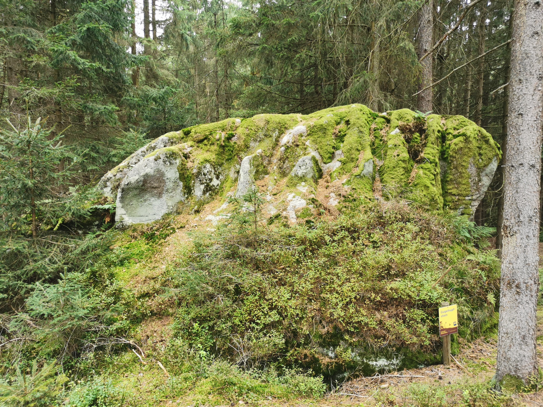
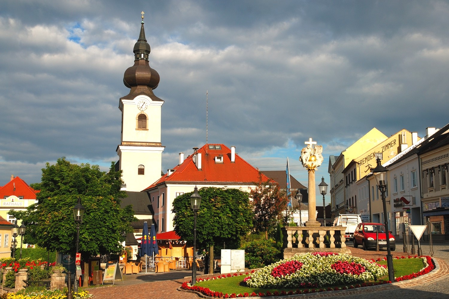
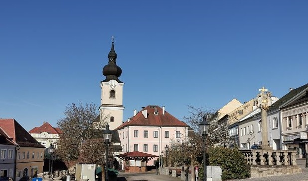
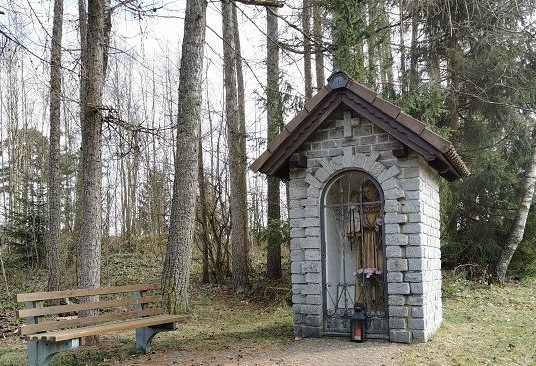
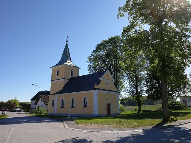
From the bus station across from the Wasserburg, the route passes the oldest house in the municipality of Heidenreichstein and continues to the town square, where you’ll find the Holy Trinity Column, the medieval town fountain, and the pillory. The path leads into Litschauer Street, past the funeral parlor and Ingeborg Bachmann Park (formerly Busserlpark) behind it, and on to Kautzener Street. At the intersection, turn left onto Edlauweg, which leads to the scattered settlement of Edlau. Keep left at the edge of the forest, and the trail continues past the Antonius wayside shrine, across the B5, and onto the Eberweis farm road. Immediately after crossing the road, you can take a short detour (about 300 m) into the forest to the Guglhupfstein. Continue toward Eberweis. On clear days, you’ll have a good view all the way to the Nebelstein, the highest peak in the northern Waldviertel. Passing the pilgrimage chapel, the war memorial, the village center, and the fire station, the trail heads up the hill toward Altmanns. On the right, you’ll find a granite boulder with a linden tree. From the sports field, you can already see the town. Once you arrive in Altmanns, walk a short distance along the Braunau River and cross the bridge into the village.
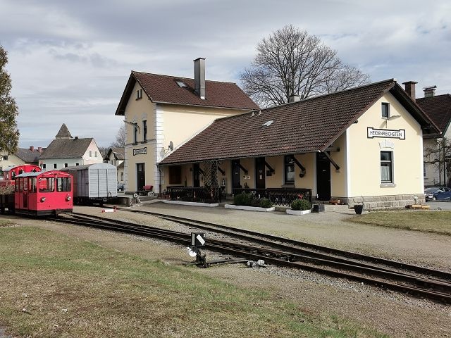
If you’d like to take a detour, you can turn left toward Bruneiteich and the impressive rock formation at the Franz Geyer Memorial (formerly known as Teufelsschlucht). On Altmannser Straße toward Heidenreichstein, a drainage ditch runs alongside the road. Passing the chapel, the war memorial, and the village center (Alte Schule), the trail leads up the Altmannsberg. Here, too, you can take a detour to the Edelweiherteich via Kleinpertholz and return to the town square via the museum. However, the direct route along Hiking Trail 4 passes the middle school and the train station with the narrow-gauge railway, continuing on to the Schlossteich and back to the starting point. This hiking trail is accessible year-round.
As a memento of your hike along the Eberweis Trail in the Waldviertel, you can pick up a hiking badge from Heidenreichstein Castle at the ticket office in Heidenreichstein Water Castle.
Hiking badges are round plaques, designed and inscribed using pyrography, which serve as both a souvenir and a recognition of outstanding achievements. Dedicated hiking badge collectors are rewarded with a free premium hiking badge. For more information, visit www.wandermarken.at.
Heidenreichstein Tourist Information
3860 Heidenreichstein, Stadtplatz 1
(T) +43 2862 52619
(E) info@waldviertelnord.at
(I) www.waldviertelnord.at
Waldviertel Tourism
3910 Zwettl, Sparkassenplatz 1/2/2
(T) +43 2822 54109
(E) info@waldviertel.at
(I) www.waldviertel.at
Letzte Änderung: 3 Aug 2026