
Fischersteig
Use our AI guide
Do you have any questions about your stay?

Hiking tour Starting from Hoheneich, market square
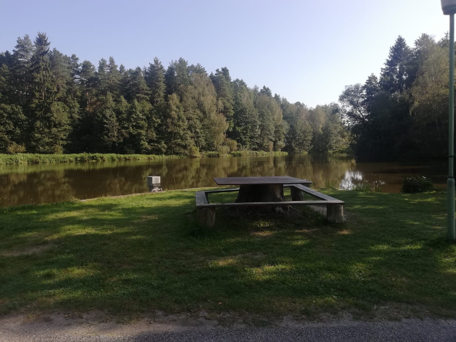
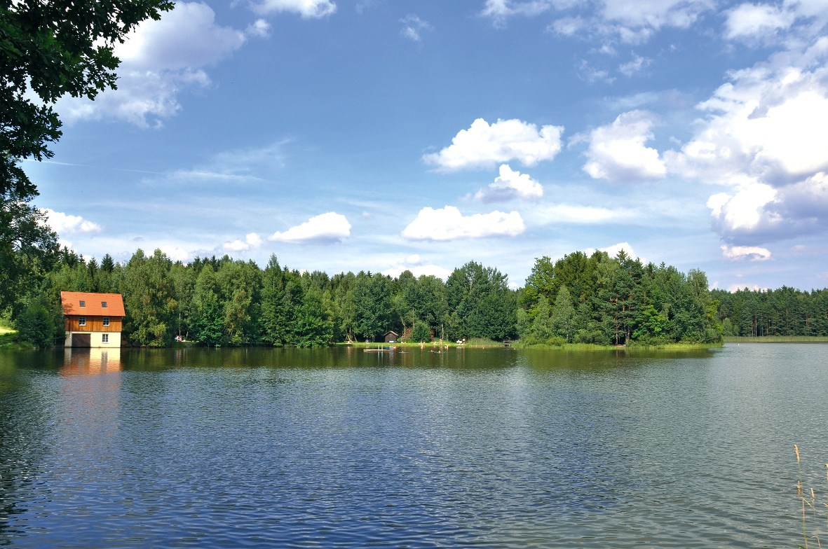
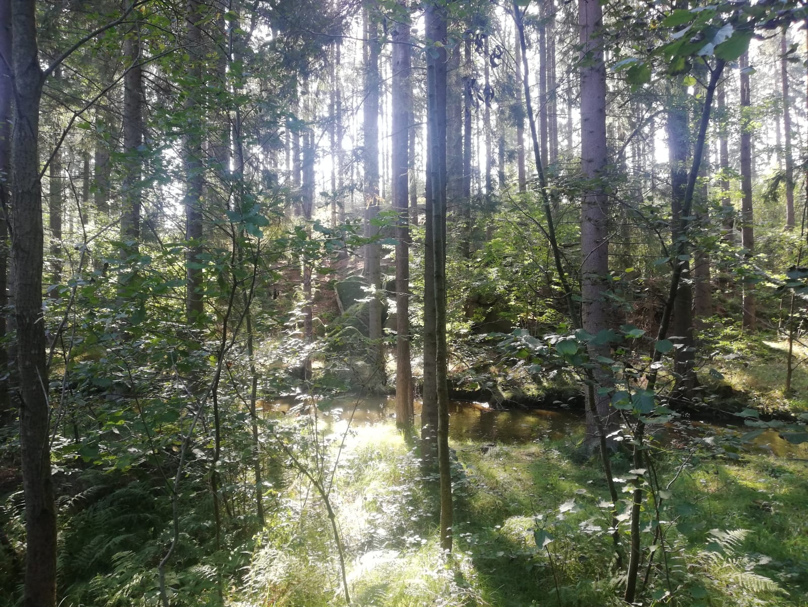
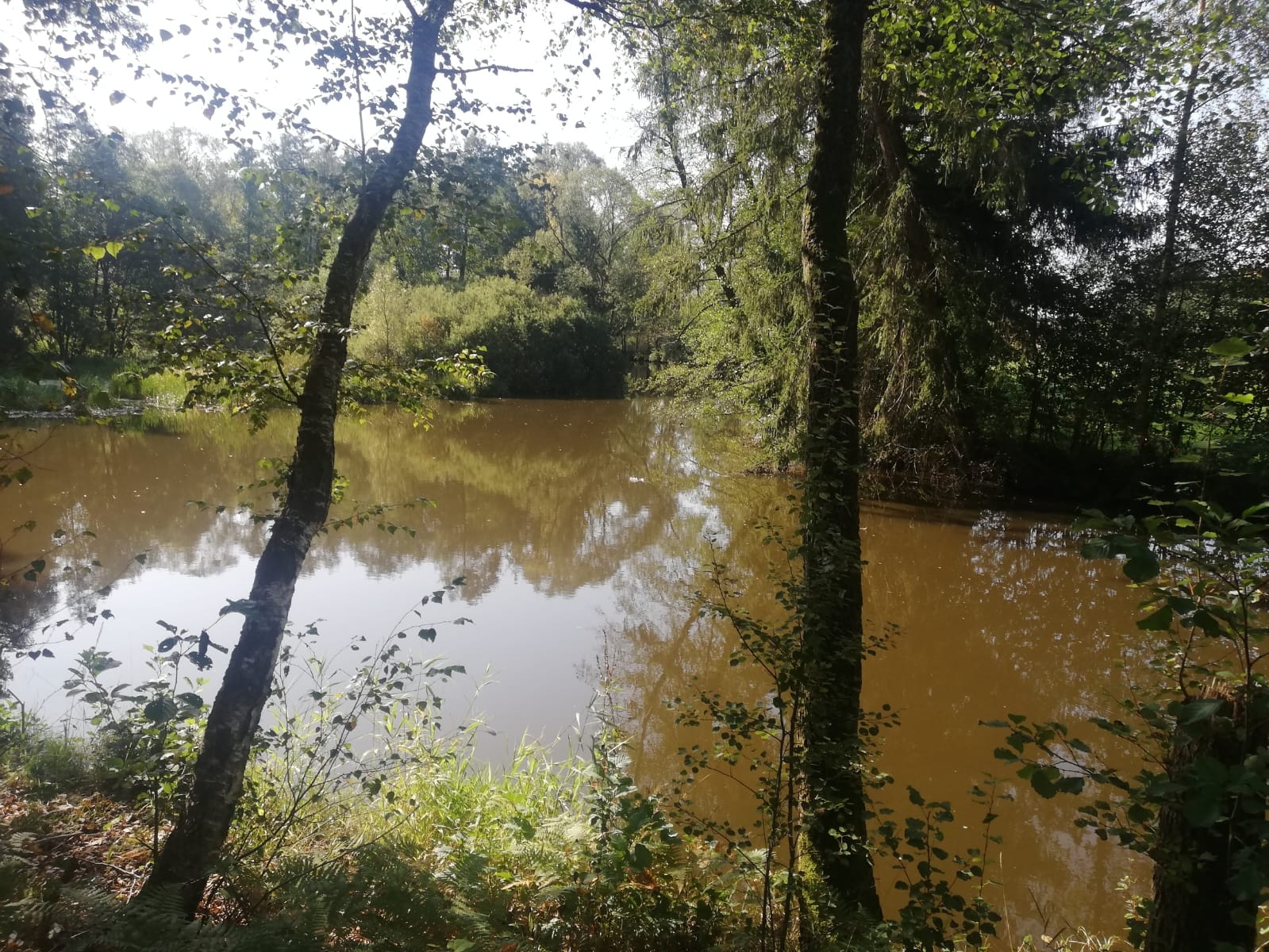
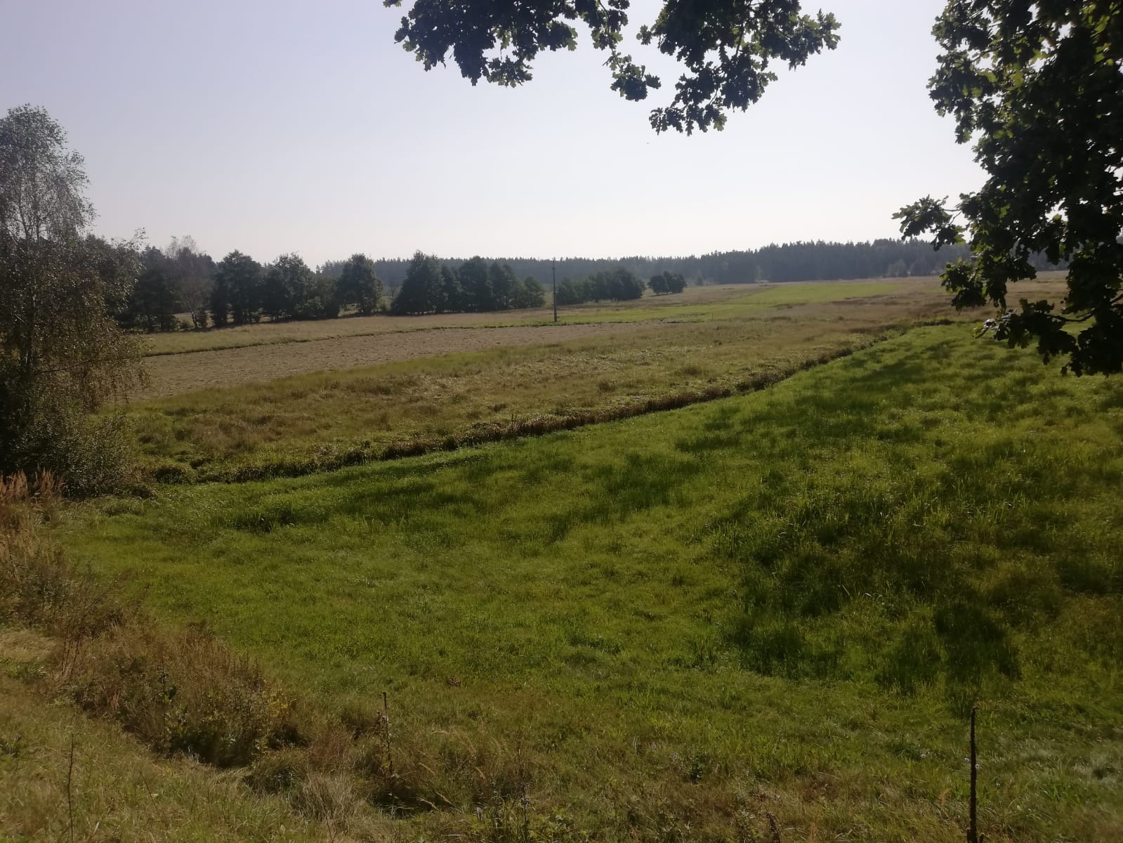
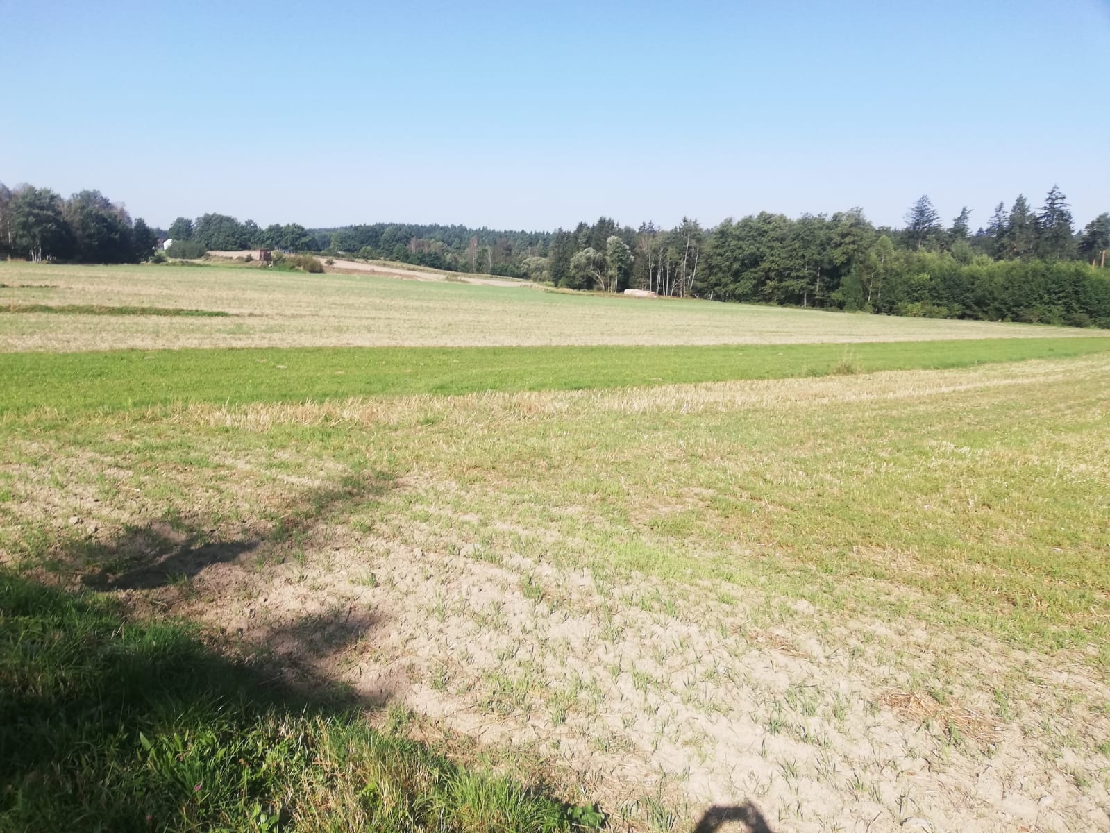
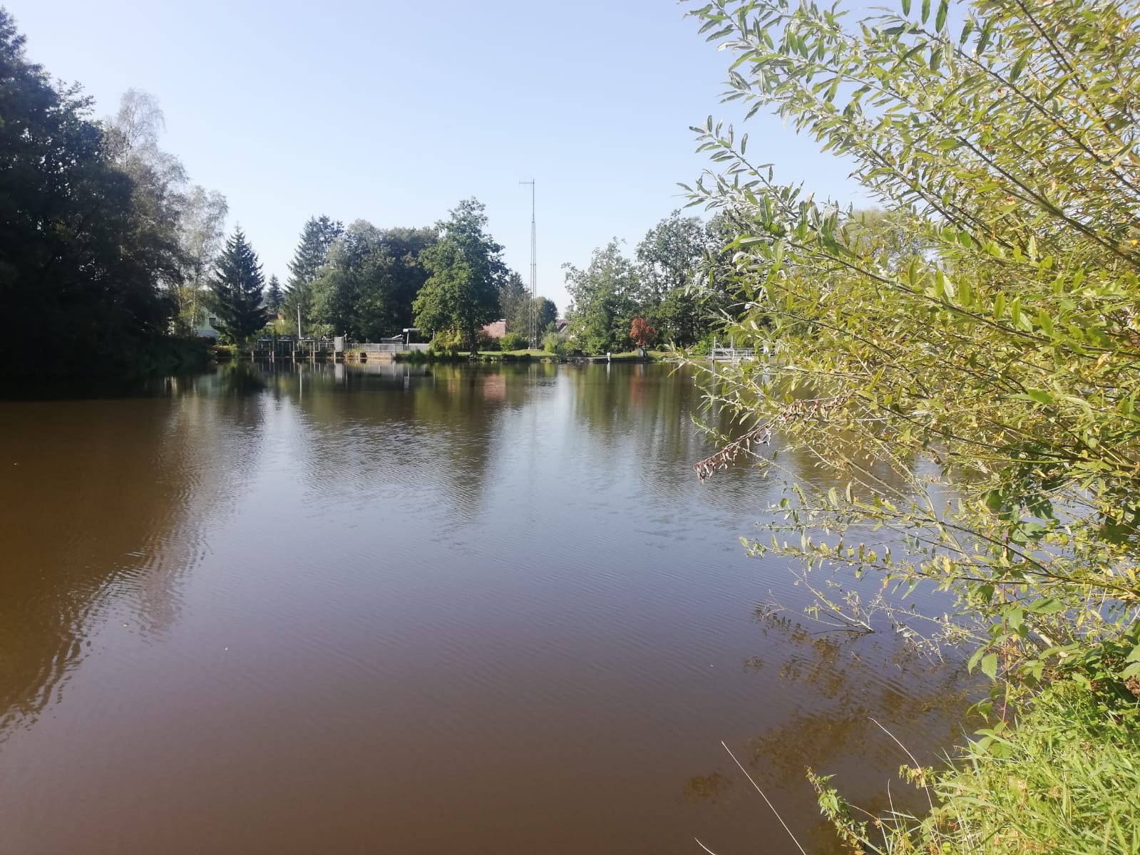
Circular hiking trail no. 17 in Hoheneich A natural circular tour through the market town of Hoheneich. Water, forest, meadow, granite stones - a hiking trail for the family and every nature lover.
Circular hiking trail no. 17 in Hoheneich A natural circular tour through the market town of Hoheneich. Water, forest, meadow, granite stones - a hiking trail for the family and every nature lover.
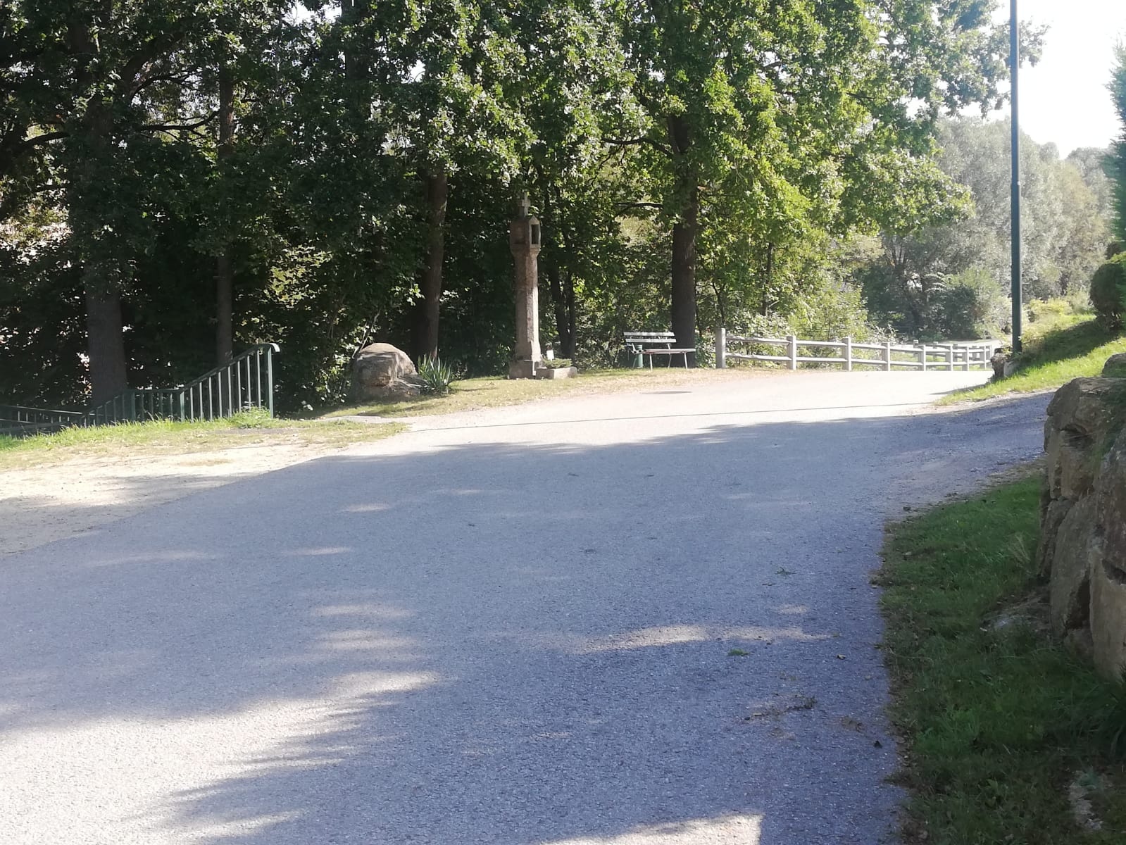
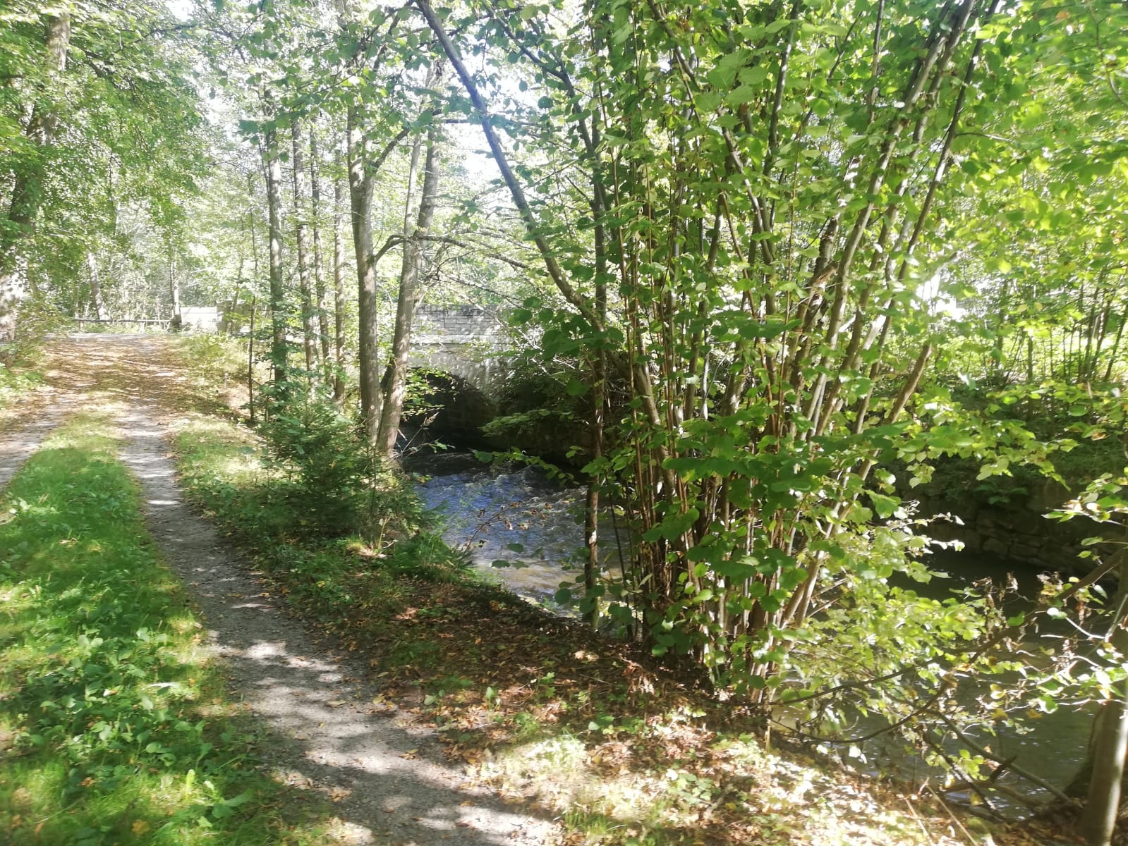
From the market square (church), turn left down Schwalbengasse. Cross Pürbacher Straße and walk straight into Braunaustraße, along the winding road over the bridge where the Mitterteichgraben flows into the Braunaubach. Approx. 100 m further on you will see a wayside shrine on the left-hand side of the road (junction Braunaustraße/Lindengasse). Now turn left up the hill, along Braunaustraße, past the building yard. Immediately after the clubhouse with the Rammel-Marterl from the Wunder von Hoheneich, you walk diagonally down an unpaved path towards Braunaubach (be careful). You cross 2 weirs and pass the Hoheneich power station and the Stockschützenplatz and find yourself on the Heweg. Approx. 10 m before Schremserstraße, the path turns off to the right (trail sign no. 17) into the forest. Follow a narrow path along the Braunaubach stream and keep to the right. Approx. 50 m after a deep ditch, the path goes half-left and after another 20 m you turn right onto the wider path. From here, continue straight ahead, with the Braunaubach stream beside you, past granite remnants, until you come to a paved road with cobblestones again. Turn right and cross an old stone bridge, past the former "Anderl" textile factory (production of cloth diapers, Molino, Kalmuk). At the next crossroads, go straight on into a field or meadow path, past an old factory house. After approx. 500 m, the village of Kleedorf is ahead or to your left.
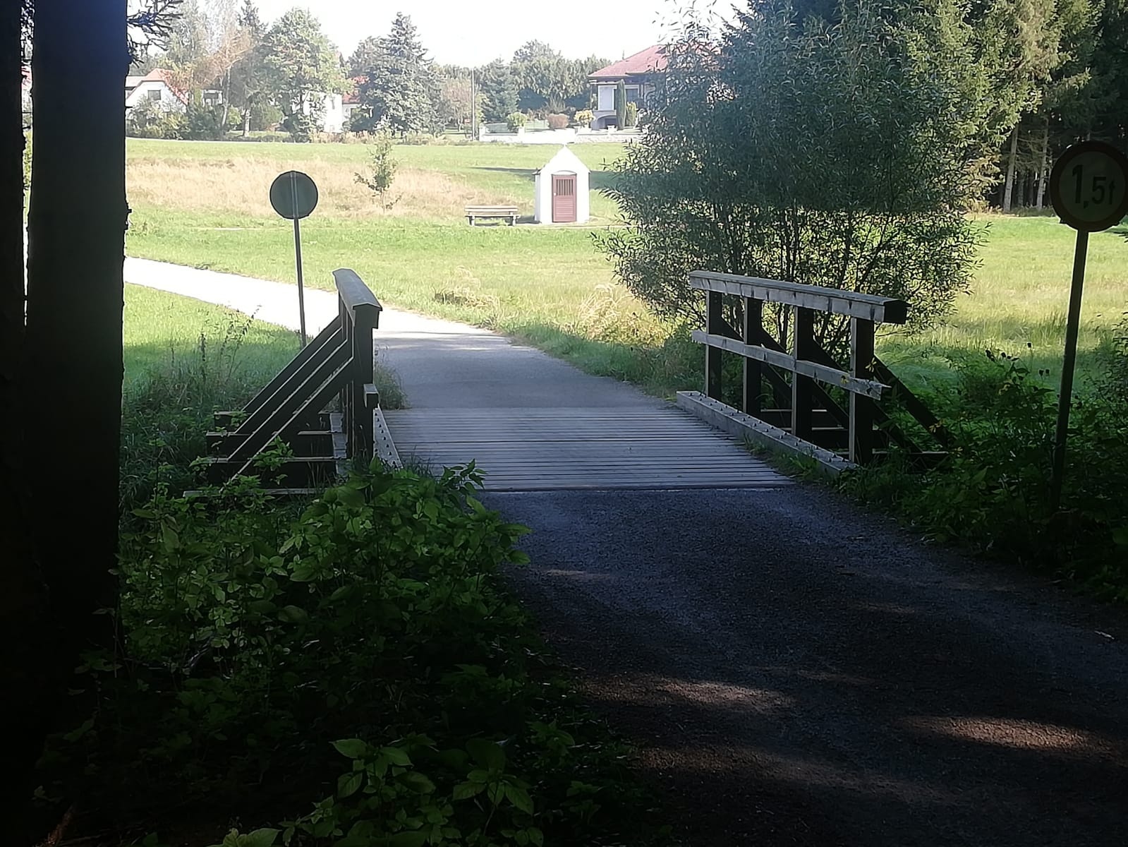
Leave Kleedorf on your left and turn right along the asphalt path, cross an old wooden bridge and follow the road to the right (trail sign no. 17). Passing the former water reservoir, you reach the main road. A detour to Mitterteich is worthwhile here. Now turn right towards Hoheneich and follow the country road. After approx. 150 m, there is a wayside shrine (Kinibild) on the right-hand side between two tall birch trees. The miracle of Hoheneich from 1621 is depicted here. Straight ahead, after a small hill, the view of Hoheneich with the church opens up to the right. Follow the road along the Mitterteichgraben (runs left below the road, then under the road), and then follow the footpath on the left side of the road to the next large crossroads. Leave Vormais on the left and go straight ahead up Lerchengasse. At the top, turn right into Bahnstraße and return to the starting point in the direction of the pilgrimage church and the municipal office.
Make sure your chosen route matches your fitness level. Check if the gastronomy establishments you want to visit along the way are open. Pack your charged mobile phone and map material in your backpack. For cross-border routes, always carry a passport or ID card.
Route characteristics: 25% asphalt, 75% field and hiking paths
Sturdy footwear, functional clothing, sun and rain protection, map material, if necessary telescopic poles, first aid kit (blister plasters), sufficient provisions (snacks, muesli bars, fruit, water).
From the market square (church), go down the Schwalbengasse to the left. Crossing Pürbacher Straße, go straight into Braunaustraße, along the winding street over the bridge where the Mitterteichgraben joins the Braunaubach at this point. About 100 m afterwards, you will see a wayside shrine on the left side of the street (intersection Braunaustraße/Lindengasse). Now go left uphill along Braunaustraße past the building yard. Immediately after the club hall with the Rammel-Marterl from the miracle of Hoheneich, go diagonally down an unpaved path towards the Braunaubach (caution). You cross 2 weirs and pass the Hoheneich power station and the stock sport area and arrive on the Heweg path. About 10 m before Schremserstraße, the path branches right (signage no. 17) into the forest. You follow a narrow path along the Braunaubach and always keep to the right. About 50 m after a deep ditch, the path veers half-left and after another 20 m turn right onto the wider path. From here head straight ahead, the Braunaubach beside you, past granite remnants until you reach a paved cobblestone street. Turn right and cross an old stone bridge, past the former textile factory “Anderl” (production of cloth diapers, Molino, Kalmuk). At the next intersection, go straight ahead into a field and meadow path, past an old factory residential building. After about 500 m, the village Kleedorf lies in front of or to the left of you.
You leave Kleedorf to the left and go right on the asphalt path, cross an old wooden bridge and follow the street to the right (signage no. 17). Past the former water reservoir, you arrive at the state road. A detour to the Mitterteich is worthwhile here. Now turn right towards Hoheneich and follow the state road. After about 150 m, on the right side is a wayside shrine (Kinibild) between two tall birches. Here the miracle of Hoheneich from the year 1621 is depicted. Straight ahead, after a small hill, the view opens up to the right onto Hoheneich with the church. Follow the street along the Mitterteichgraben (runs below the street on the left, then under the street), then the footpath on the left side of the street to the next large intersection. Leave Vormais to the left and go straight up the Lerchengasse hill. At the top, turn right into Bahnstraße and return towards the pilgrimage church and municipal office to the starting point.
free parking at the market square
You can plan your exact route with the VOR route planner. www.vor.at
Market town of Hoheneich
3945 Hoheneich, Marktplatz 91
(T) +43 2852 52664
(E) gemeinde@hoheneich.gv.at
(I) www.hoheneich.at
Waldviertel Tourism
3910 Zwettl, Sparkassenplatz 1/2/2
(T) +43 2822 54109
(E) info@waldviertel.at
(I) www.waldviertel.at
Letzte Änderung: 3 Aug 2026