


gpx_addressbase_29385
From Scheibbs to Lampelsberg (to the transmitter)
Hiking tour Starting from Rathausplatz Scheibbs
- Fitness level required:3/6
- Overall experience:3/6
- Scenery:5/6
- Lowest point
- 333 m
- Highest point
- 819 m
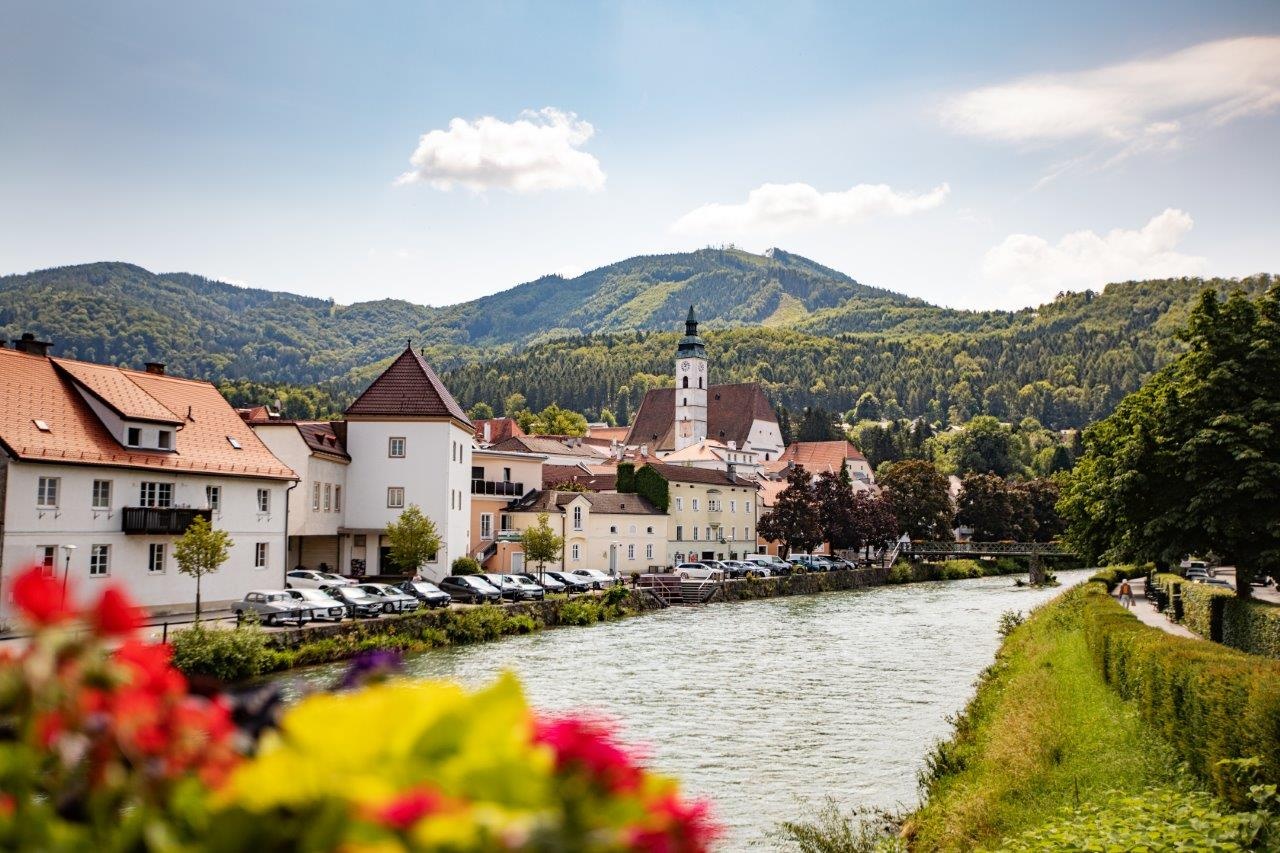
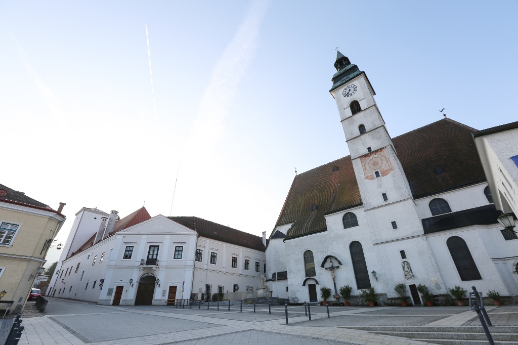
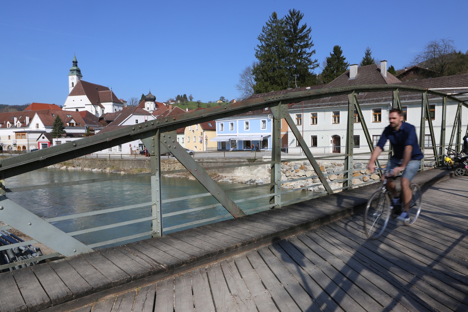
We leave the Rathausplatz via the Rathausstiege in the direction of the Erlauf. We cross Hauptstrasse and Gaminger Strasse until we cross the river via the wooden "Sandsteg" footbridge and continue along the left bank of the Erlauf. We stroll upstream along the Erlauf promenade through a shady chestnut avenue. We pass the Töpper and Kardinal-Franz-König bridges. Where the Erlaufpromenade finally joins the Strudenweg, we turn right and, after crossing the Erlauftalbahn, reach the Lampelsberg goods road. From here, we hike steadily uphill until we finally reach the Ödbauer farm via the houses Schacher and Goganz. Now our route continues along a footpath to the transmitter station from where we can enjoy a wide view over the countryside. It is now only a short distance to our destination at the summit of the Lampelsberg.
Sturdy footwear is recommended
Rathausplatz – Sandsteg – Erlafpromenade – Güterweg Lampelsberg – Schacher – Goganz – Ödbauer – Transmitter Station – Lampelsberg (819 m) – same way back
Please observe the parking guidance system at the entrances to Scheibbs.
Short-term parking zone in the city center from Monday to Saturday midday - parking duration 2 hours.
From the north via the A1 motorway, motorway exit Ybbs/Kemmelbach, then federal road B25 to Scheibbs, from the southeast via federal road B28 and from the south via federal road B25
By ÖBB Erlauftalbahn to the final stop Scheibbs.
By Postbus or Mostviertel line.
Timetables at www.vor.at
This route can easily be turned into a circular route - for example via a section of the high-altitude circular hiking trail through the north of the cadastral community Brandstatt (Güterweg Hummelsberg).
Recommended period
J
F
M
A
M
J
J
A
S
O
N
D
Cultural Department of the municipality of Scheibbs
Rathausplatz 1, 3270 Scheibbs
07482/42511-63
Letzte Änderung: 16 Mar 2026