Göpfritzschlag – Hohenwarth – Münchreith
Use our AI guide
Do you have any questions about your stay?

Hiking tour Starting from Karlstein, Thaya Bridge
The market town of Karlstein lies 440 m above sea level in the deeply incised Thayatal valley. Overlooked by a medieval castle built on a hill in the gneiss hills, the town is surrounded by rocky and wooded steep slopes and hills. Within this mystical landscape lie picturesque meadows, fields and farming villages. The historical significance of the town is illustrated above all by the spectacular fortress, which was a center of Protestantism in the late 16th century and was unsuccessfully besieged by the Swedes in 1645. Even during the First World War, it served as a prison for the Montenegrin general staff. Karlstein is also home to an interesting watchmaking museum. In addition to its historical sights, the town of Karlstein has also recently emerged as a center of herbal medicine: The famous herbalist Weidinger worked in the Paracelsus House.
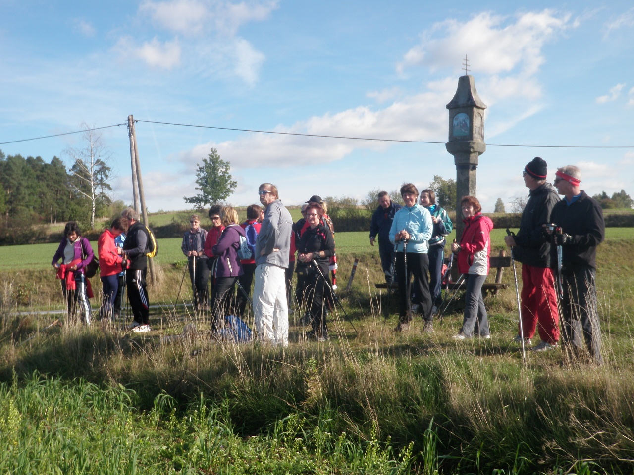
From the Thaya Bridge, walk northeast up the main road away from the Thaya River. After about 500 m, turn left onto Parkstraße after passing the church. At the Parkstraße/Schlossweg intersection, take neither road but continue straight ahead along a small stream across the fields. After about 1 km, you’ll reach Griesbachspitz, where a bridge crosses the Schladeinbach. Here you’ll cross the “Um die Griesleiten” hiking trail. Do not cross the stream, however; instead, continue on a path along the right bank. After another kilometer, the stream turns sharply to the right. Continue straight ahead toward Göpfritzschlag. Before Göpfritzschlag, turn right and walk a short distance back along the B30 toward Karlstein before turning left shortly after crossing the stream. Continue along this path until you reach Hohenwarth after 2 km. At the entrance to Hohenwarth, walk a short distance along the road toward Münchreith. After about 100 meters, however, turn right and continue along the edge of the forest all the way to Münchreith. Near the interesting Gothic church, a path branches off from the forest toward Münchreith. Follow this path, which takes you around the village itself. After you’ve walked halfway around the village, you’ll reach a paved road that crosses the B30 after about 1 km and then takes you directly back to Parkstraße. From there, head back to the Thaya Bridge.
Vienna: A 22 – Stockerau – B 4 to Horn – L 8019 to Irnfritz – L 52 to Raabs/Thaya – L 8068 to the junction with the B 30 – B 30 to Karlstein/Thaya
Linz: A 7 toward Freistadt – B 310 to Freistadt – B 38 to Karlstift – B 41 to Schrems – B 2 to Vitis – B 36 to Waidhofen/Thaya – L 59 to Karlstein/Thaya
Karlstein Municipality
3822 Karlstein an der Thaya
Wilhelm Matzinger-Straße 2
T 02844/279, F 02844/500
gemeinde©karlstein-thaya.at
www.karlstein-thaya.gv.at
WALDVIERTEL Tourism
3910 Zwettl, Sparkassenplatz 1/2/2
(T) +43(0)2822/54109, Fax Ext. 36
Toll-free within Austria:
(T) +43(0)800/300 350
(E) info@waldviertel.at
(I) www.waldviertel.at
Letzte Änderung: 3 Aug 2026