Grabenwanderung to Litschgraben
Use our AI guide
Do you have any questions about your stay?

Hiking tour Starting from Gföhl, main square
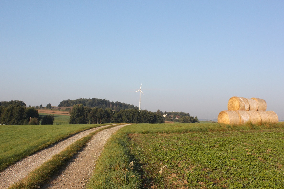
Trench hike to Litschgraben, No. 43 or No. 2 (yellow) Wind power and witches' sabbath: Alt Gföhl - wind power plants - Garmannser Graben - "Luckerter Stein" (legend of the witches' sabbath on the Höllenstein) - local mountain in Gföhl
Trench hike to Litschgraben, No. 43 or No. 2 (yellow) Wind power and witches' sabbath: Alt Gföhl - wind power plants - Garmannser Graben - "Luckerter Stein" (legend of the witches' sabbath on the Höllenstein) - local mountain in Gföhl
From the main square to Alt Gföhl (settlement history: from the "Dörfl zu Thal" to the town) - green power plants (wind power plants on the Satzbigl 635m and in the Ried Bitzen near Reittern) - through the "gorge" of the Garmannser Bach to the Litschgraben (erosion in the history of the earth) to the "Luckerten Stein" on the Weyberg (slippery stone and legend of the witches' sabbath on the Höllenstein) - via the "Hausberg" and the "Bayerland" back to the main square.
Make sure your chosen route matches your fitness level. Check whether the gastronomy businesses you want to visit along the way are open. Pack your charged mobile phone and map material in your backpack. On cross-border routes, always carry a passport or identity card.
Sturdy footwear, functional clothing, sun and rain protection, map material, if necessary telescopic poles, first aid kit (blister plasters), sufficient provisions (snacks, muesli bars, fruit, water).
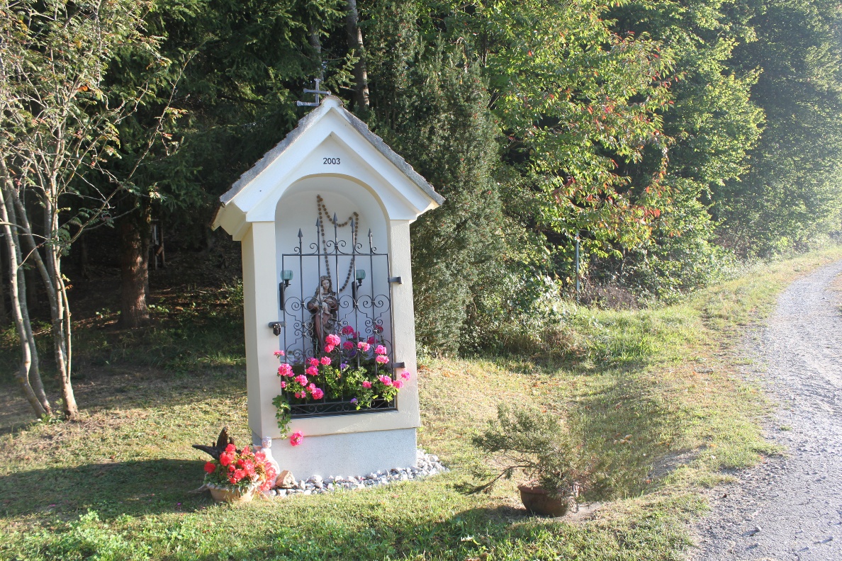
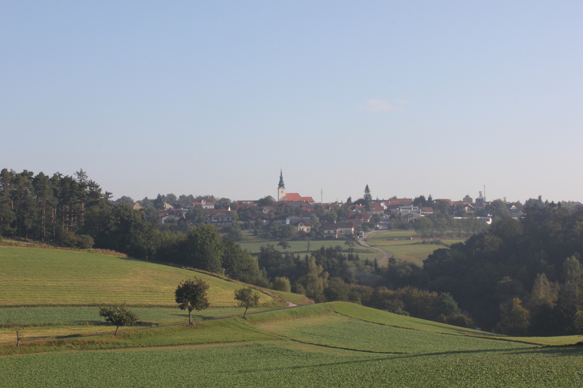
The Grabenwanderung hiking trail leads you from the main square in Gföhl towards Zwettler Straße via Alt Gföhl, past the cemetery (baroque gate), over the Satzbigl – enjoy the beautiful view over the gently rolling plateau – down to Garmanns and Litschgraben. From there, you hike up to the Weyberg with the "Luckerten Stein" (rock formation) and over the Hausberg back to Gföhl.
Parking spaces in the center, partly short-term parking zone
From Vienna take A22 and S5 or A1 and S33 to Krems and then via B37 to Gföhl.
From Linz take the A1 to St. Pölten, then via the S33 to Krems and from there via the B37 to Gföhl.
All information about all bus and train lines to the Waldviertel can be found at www.vor.at or www.oebb.at.
Municipality of Gföhl
3542 Gföhl, Hauptplatz 3
(T) +43 2716 6326-0
(E) gemeinde@gfoehl.gv.at
(I) www.gfoehl.gv.at
Waldviertel Tourism
3910 Zwettl, Sparkassenplatz 1/2/2
(T) +43 2822 54109
(E) info@waldviertel.at
(I) www.waldviertel.at
Letzte Änderung: 3 Aug 2026