gpx_addressbase_31236
Use our AI guide
Do you have any questions about your stay?

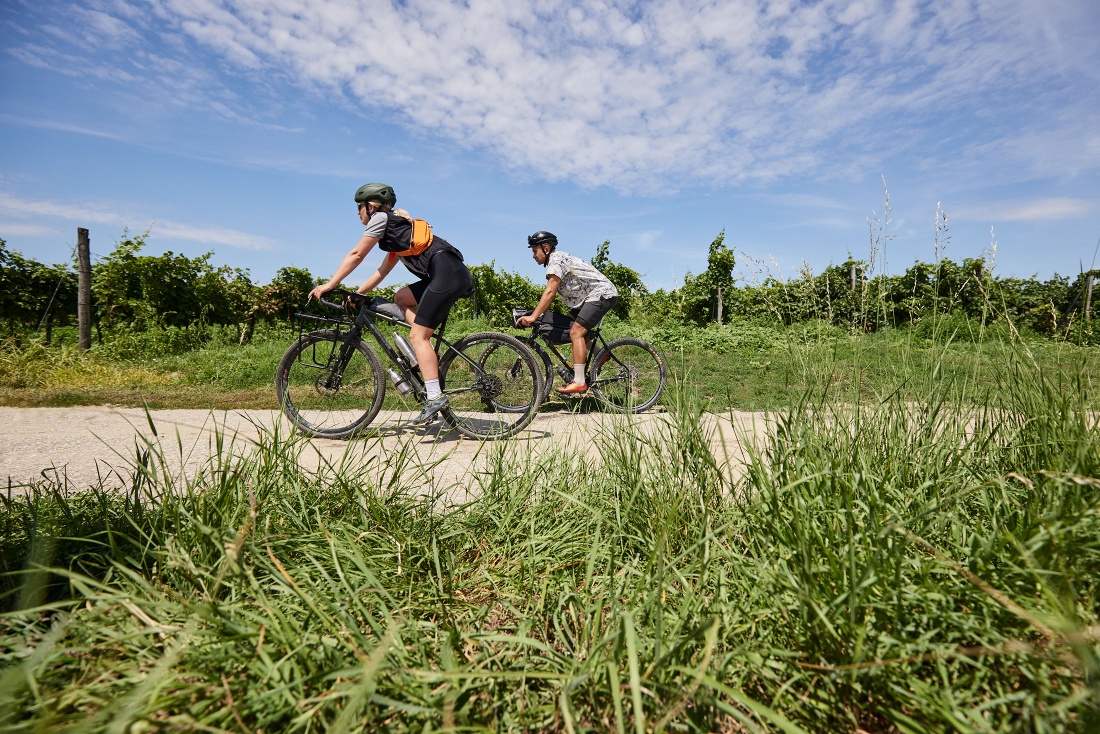
Mountain bike tour Starting from Langenlois, Kornplatz
The gravel route Gföhl - Langenlois is a combination of the Weinberg Route and the Gföhlerwald Route.
The gravel route Gföhl - Langenlois is a combination of the Weinberg Route and the Gföhlerwald Route.
Please observe the Biker Fair Play rules including the official usage times of the MTB and gravel routes. Watch out for oncoming bikers when the route goes against the signposted direction of the respective MTB trekking route.
Gravel bike, recommended tires at least 33mm, depending on fitness a slightly easier gear ratio required
Langenlois - Neumühle - Kronsegg - Rauscher - Loidl - Scheiben - Schweizerhof - Leitnerschlag - Kronsegg - Schiltern - Unterreith - Fahnberg - Bockshörndl - Langenlois
Parking lot P1 center on Walterstraße or parking lot P2 center on Kamptalstraße
From Vienna: Danube bank motorway A22 direction Stockerau, continue on the S5 direction Krems until the Fels am Wagram exit and then on the B34 to Langenlois.
From the west: West motorway A1 direction Vienna to St. Pölten, continue on the S33 and B37 to Krems and on the B218 to Langenlois.
Regular regional train connections between Langenlois and Hadersdorf (connection to Vienna), Krems, as well as the Kamptal (fahrplan.oebb.at).