Hafnerberg
Use our AI guide
Do you have any questions about your stay?

Mountain bike tour Starting from Hafnerberg
A nice loop through some villages with beautiful scenery and quiet forest! However, the route should not be underestimated!
A nice loop through some villages with beautiful scenery and quiet forest! However, the route should not be underestimated!
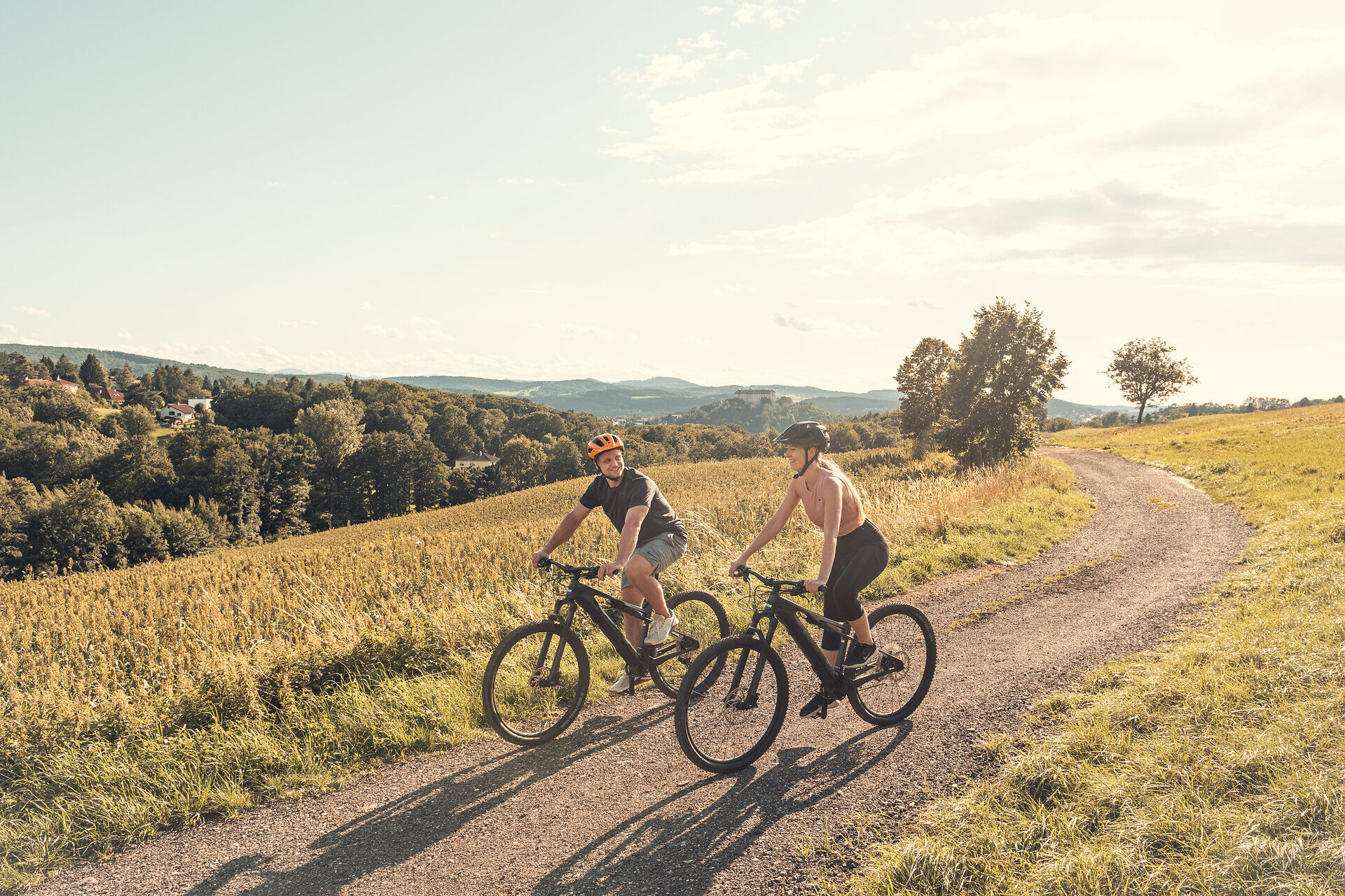
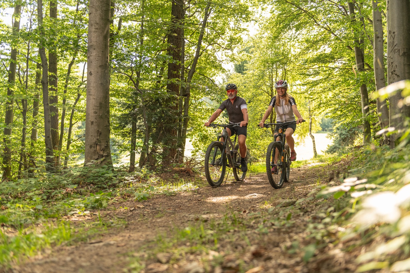
The Hafnerberg route combines scenic beauty with cultural sights and varied sections. A particular highlight is the baroque Hafnerberg pilgrimage church, which is an important pilgrimage destination. There are impressive panoramic views along the route, especially at Schwarzensee, where a wide view opens up over the hills of the Vienna Woods. The route leads along natural field and forest paths, which offer a particularly pristine riding experience between Gadenweith and Haselbach. It then leads through the leisure and recreation area in the Fahrafeld retention basin, the ideal place for a break including a pump track. In the Tasshof area, the route runs through a well-known riding area where, with a bit of luck, riders and horses can be observed in the great outdoors. However, particular caution is required on this section, as this section of the trail is shared with riders. It is recommended that you ride at half speed and stop to let riders pass if necessary. This tour combines a sporting challenge with scenic diversity and cultural insights and is ideal for mountain bikers who want to experience the Vienna Woods in all its facets.
On the section between Tasshof and Hafnerberg, please be especially considerate of horseback riders! The trail splits briefly here; you must ride with limited visibility at all times. It’s best to call out to the riders, stop briefly, and let them pass.
Before every ride, check that your brakes, tires, and suspension fork/shock are in good working order. Always ride with an awareness of potential hazards and at a controlled speed, and choose a route that suits the group’s riding ability and the terrain. The Fair Play rules must be observed at all times. Single/shared trails, as well as built trails in trail parks and trail centers, frequently feature rocks, roots, steep sections, steps, and sharp turns that require a certain level of riding skill. If in doubt, simply dismount and walk your bike.
A safe and roadworthy mountain bike is a prerequisite for all routes. A helmet and gloves provide protection in the event of a fall, and knee and elbow pads can be added when riding on single or shared trails. A modern mountain bike with disc brakes and sufficient tire tread is recommended. For single and shared trails rated red difficulty or higher, a full-suspension bike with modern geometry is recommended. Tools, a tire lever, a pump, and a spare tube will help in case of a flat tire. You should also carry enough food and drink, as well as a cell phone and a windbreaker or rain jacket.
We head toward Nöstach and take the first right. Continue to the B11; here, turn right and then left again after 100 m toward Holzschlag. Continue straight ahead toward Schwarzensee. We cycle through Schwarzensee and take the second left toward Gadenweith. After about 1.5 km, we turn left onto a dirt road and ride down to the Haselbach stream, which leads us to the B18; we follow this road all the way to Tasshof. At km 20, turn right here onto a path leading uphill, back to Hafnerberg. On this section between Tasshof and Hafnerberg, take special care around horseback riders! The path splits briefly; you must ride with half-visibility at all times. It’s best to call out to riders, stop briefly, and let them pass.
Surface: Asphalt 57%, Gravel 43%
Coming from Vienna, take the A21 to the Mayerling exit, then the B11 to Nöstach, and continue on to Hafnerberg.
Coming from the south, take the A2 to the Leobersdorf exit, then the B18 to Altenmarkt an der Triesting; turn right there toward Hafnerberg.
Coming from the west, take the A1 to the Steinhäusl interchange, then the A21 to the Alland exit, then the B11 to Nöstach, and continue on to Hafnerberg.
Information on Possible Excursion Destinations
Award-winning places to stop for a bite to eat:
Places to stop for a bite to eat:
The elevation data for this route was calculated based on A-MAP. Due to differences in the map data used by various routing and navigation apps and devices, slight variations in the figures are inevitable. You can find more information on this inthe followingblog post!
Wienerwald Tourismus GmbH
Hauptplatz 11, 3002 Purkersdorf
Tel. +43/2231/621 76
Email: office@wienerwald.info
Website: www.wienerwald.info
Letzte Änderung: 3 Aug 2026