
Hiking route 421
Use our AI guide
Do you have any questions about your stay?

The 11 km long hiking trail with wonderful views leads along the Danube estuary.
The 11 km long hiking trail with wonderful views leads along the Danube estuary.
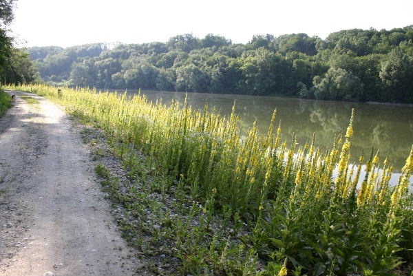
Starting from the market square, the hiking trail continues along the right bank of the oxbow lake to Rohrmühle. Then you walk to Gauning, across the Aubach and the Erlabach. The route then continues either along the right bank of the reservoir or along the left bank of the oxbow lake and back to the market square. Remarkable: on this hike you always have a beautiful view of the Danube oxbow lake.
comfortable shoes
Starting from the marketplace, the hiking route leads over the outdoor swimming pool area along the right old branch shore up to the Rohrmühle. Then you hike to Gauning, over the Aubach and the Erlabach. The route then continues either on the right reservoir bank or on the left old branch shore and back again to the marketplace. Remarkable: on this hike you always have a nice view of the old branch of the Danube.
There are various parking lots in the municipality. Please follow the signage.
Oed motorway junction, signage to Wallsee-Sindelburg
By train to Amstetten station, from there by bus to Wallsee-Sindelburg
Well-managed family-friendly inns with traditional cuisine, game, and fish specialties invite guests to linger.
www.wallsee-sindelburg.gv.at
Letzte Änderung: 3 Aug 2026