
gpx_addressbase_16368
Hirschenstein high-altitude hike - no. 53
Hiking tour Starting from Laimbach/Ostrong, parish church
- Difficulty: Moderate
- Distance: 12,49 km
- Duration: 5:00 h
- Ascent: 428 m elevation gain
- Descent: 428 m elevation gain
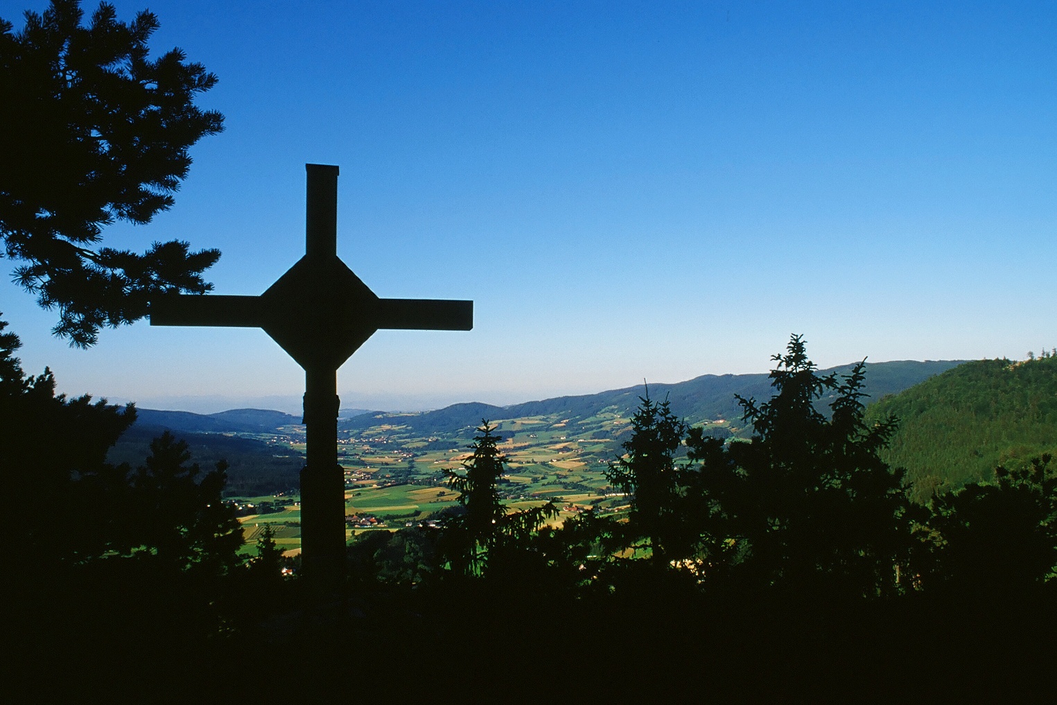
The Hirschenstein in the Weinsberger Forest is one of the most beautiful viewpoints in the Southern Waldviertel hiking region. An extensive walk that leads you to a proper summit cross including a wonderful panoramic view.
- Starting point of the tour
- Laimbach/Ostrong, parish church
- Tour destination
- Laimbach/Ostrong, parish church
- Difficulty: Moderate
- Distance: 12,49 km
- Duration: 5:00 h
- Ascent: 428 m elevation gain
- Descent: 428 m elevation gain
- Fitness level required:3/6
- Overall experience:5/6
- Scenery:5/6
- Lowest point518 m
- Highest point947 m
- Round tour
- Nice views
- With refreshment stops
Description
The hike to the Hirschenstein is a treat in the Southern Waldviertel hiking region. From there you can enjoy a wonderful view over the Yspertal and even further beyond. Under clear weather conditions, the view extends to the Gesäuse mountains, the Haller Mauern, and the Phyrgas - foothills of the Alps. One of the starting points to this viewpoint begins in Gutenbrunn in the Weinsberger Forest. The second and more challenging option to ascend the 884-meter-high Hirschenstein starts in Laimbach at the Ostrong.
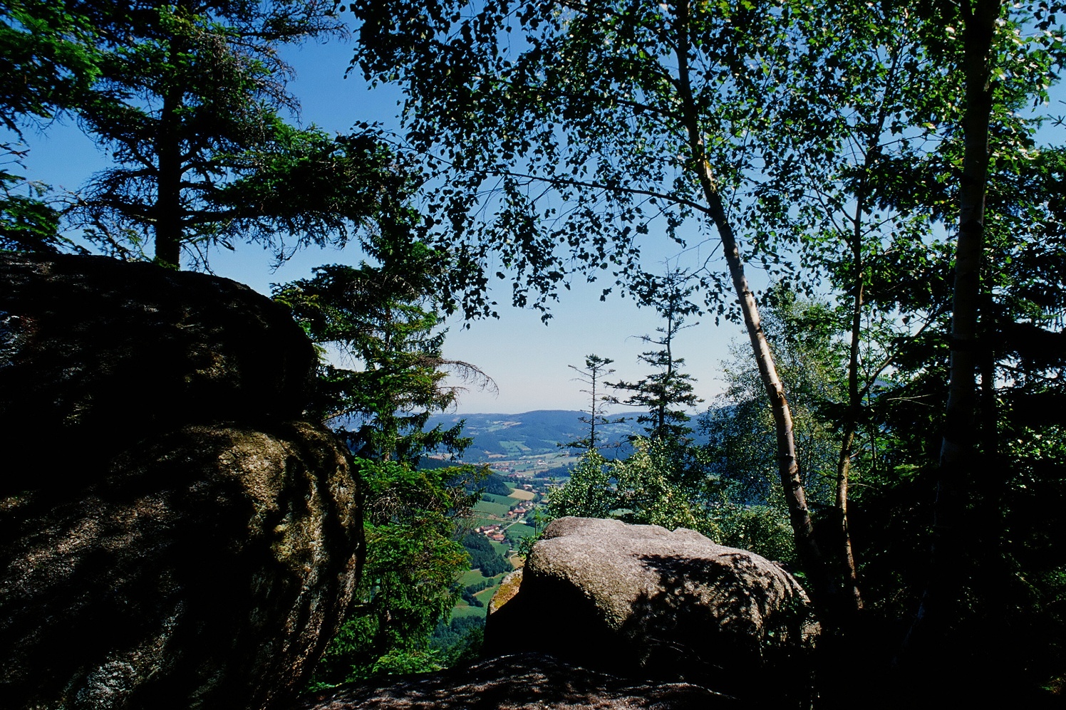
- Route description The starting point of the hike is the parish church in Laimbach. This path leads past the Hubertus chapel and the sports field to Grubhof and Dörfles to the state road to Gutenbrunn (Grubhof – an ideal photo and viewpoint). Walking 200 m on the state road towards Pyhra, the hike turns right. Following an old path, you reach the Voglhof through a hollow way. From there, the trail continues on a well-maintained forest road, passing a wayside shrine, to Ödhof – a viewpoint and photo spot overlooking the Yspertal. Now you walk the spur path to the Hirschenstein (884 m) with a fantastic view of the Yspertal – under clear weather, the view extends to the Gesäuse mountains, the Haller Mauern, and the Phyrgas – a foothill Alps view. Return the same way to Ödhof and then continue through beech and spruce forest, before reaching open terrain (Ulrichschläger Höhe) shortly before Ulrichschlag. In the village itself, the GH Ballwein invites you to refresh and relax. With good visibility, you can enjoy a magnificent Alpine panorama from Schneeberg to the Salzkammergut. Via Eggathon and Grünbach, you come back to the starting point of the hike.
- Getting there A1 exit Ybbs - Persenbeug Danube bridge - B36 into Yspertal to Laimbach
Recommended period
J
F
M
A
M
J
J
A
S
O
N
D
TVP Ysper-Weitental
3683 Yspertal, Hauptstrasse 9
(T) +43 7415 6767 25
(E) info.yw@waldviertel.at
(I) www.waldviertel.at
WALDVIERTEL Tourism
3910 Zwettl, Sparkassenplatz 1/2/2
(T) +43 2822 54109
(E) info@waldviertel.at
(I) www.waldviertel.at
Letzte Änderung: 16 Mar 2026