Hirtenberger Lindenberg Loop
Use our AI guide
Do you have any questions about your stay?

The market town of Hirtenberg is located at the end of the Triestingtal valley, where the Lower Austrian Prealps border the Vienna Basin for the first time. While the village area itself lies on the plain at 280 m above sea level, gentle mountains rise up to 470 m to the north and south of the municipality. The municipality itself is heavily influenced by industry (including the Hirtenberg cartridge factory), but has the advantage that the natural area begins right at the edge of the settlement. The influence of the Pannonian climate is very noticeable here, as dry black pine and oak forests predominate, while beech forests are usually only found on more humid northern slopes. The hikes from Hirtenberg lead to the surrounding hills such as Lindenberg, Pfarrkogel and Guglzipf (viewing tower) and surprise with beautiful views and impressions of nature, despite the low altitude. The hiking options are rounded off by a beautiful forest nature trail at the Steinkamperl.
The market town of Hirtenberg is located at the end of the Triestingtal valley, where the Lower Austrian Prealps border the Vienna Basin for the first time. While the village area itself lies on the plain at 280 m above sea level, gentle mountains rise up to 470 m to the north and south of the municipality. The municipality itself is heavily influenced by industry (including the Hirtenberg cartridge factory), but has the advantage that the natural area begins right at the edge of the settlement. The influence of the Pannonian climate is very noticeable here, as dry black pine and oak forests predominate, while beech forests are usually only found on more humid northern slopes. The hikes from Hirtenberg lead to the surrounding hills such as Lindenberg, Pfarrkogel and Guglzipf (viewing tower) and surprise with beautiful views and impressions of nature, despite the low altitude. The hiking options are rounded off by a beautiful forest nature trail at the Steinkamperl.
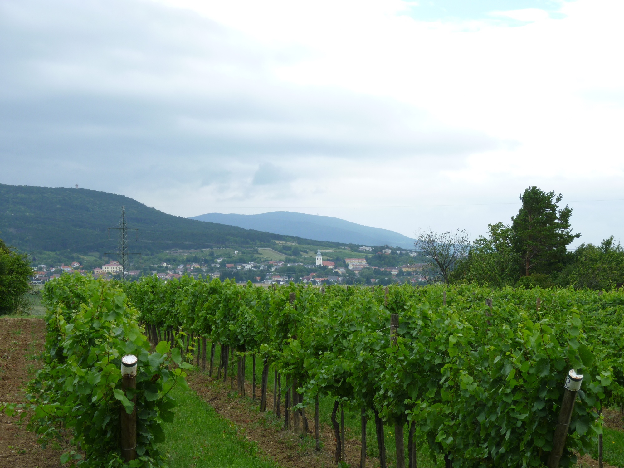
Although the name suggests otherwise, the Lindenberg is dominated by oak forests that are unique to the Triestingtal. The influence of the Pannonian climate is already very noticeable here, on this last foothill of the Alps. While the forest is mostly on the right, vineyards, meadows and farmland dominate on the left. There are also areas of dry grassland.
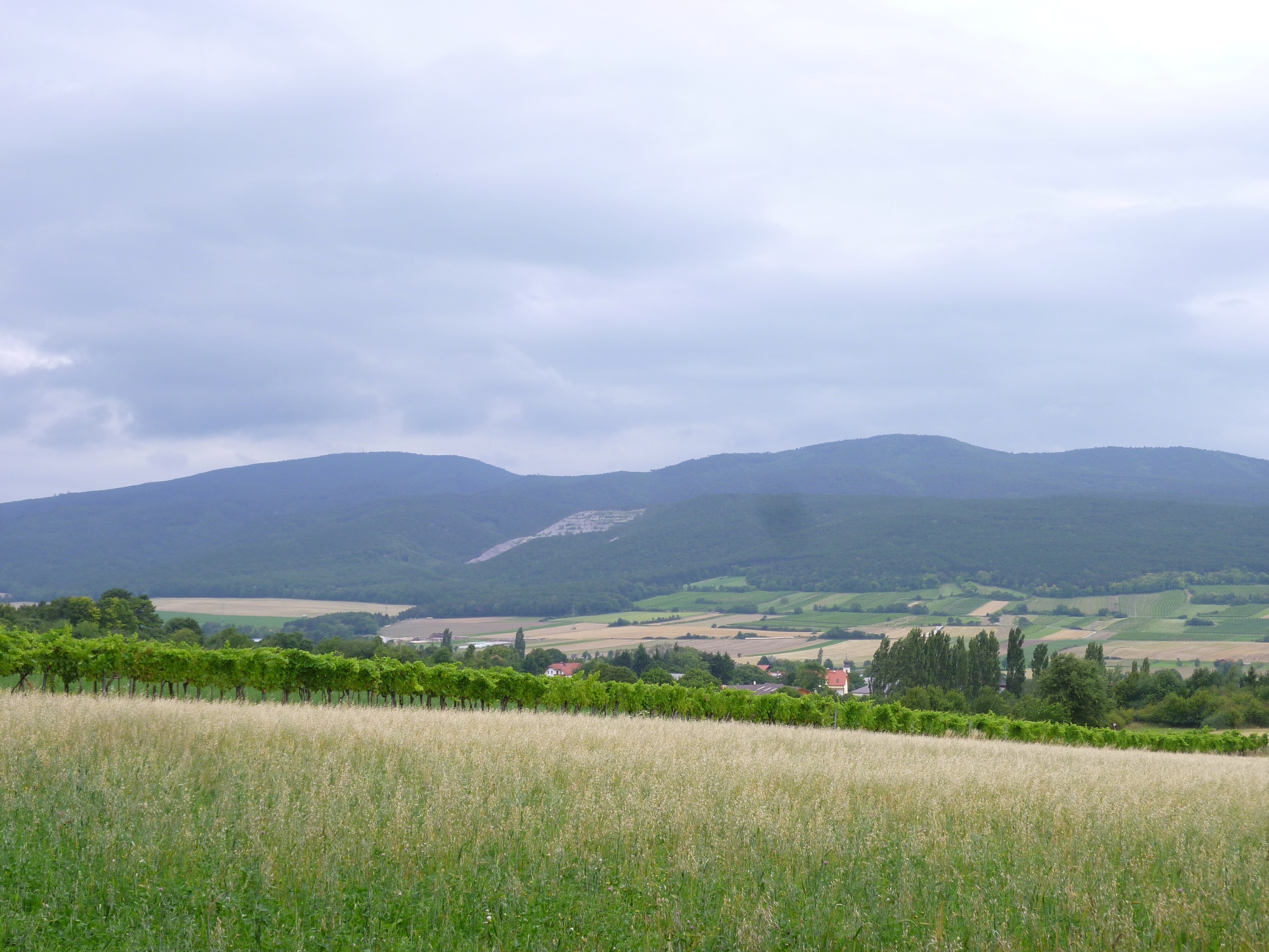
Despite the low altitude - a maximum of 369 m above sea level - this loop around the Lindenberg is amazingly scenic. There are views of Guglzipf, Berndorf, Waxeneck, Hocheck, Hoher Lindkogel, Sooßer Lindkogel, Harzberg, Bad Vöslau, Anninger, Leithagebirge, Rosalia, Wechsel and Hohe Wand.
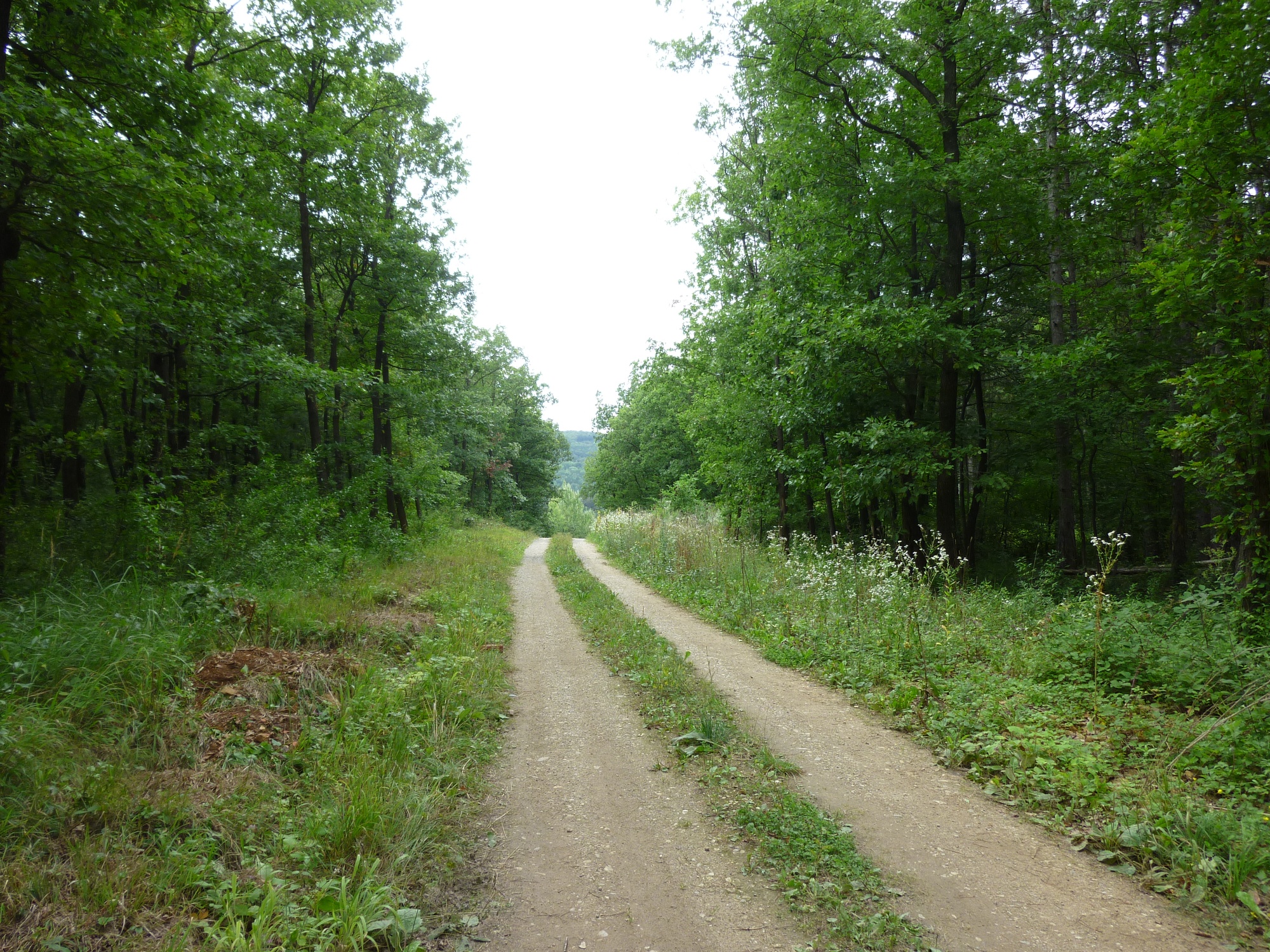
As you are mostly on very good hiking trails, forest roads and partly also asphalted roads, this hike can also be completed with baby carriages. The only exception is the path approx. 10 minutes after the start. However, this can be bypassed to the right on a forest road and then a forest path.
All in all, this route makes for an amazingly varied, scenic hike on the border between cultivated landscape and forest landscape, which can also be easily combined with a visit to the forest nature trail.
Standard Hiking Gear
From the parking lot with the red marker and the access road to the Union Sports Complex, follow the gravel road for 100 meters to the Union parking lot. Pass between the tennis courts and immediately turn sharply right, following the fence (sign for the Forest Nature Trail, red marker). Continue briefly along the forest path until you reach sign No. 6 of the fitness trail. Here, follow the path down to the right along the red markings, past signs No. 5 and 4 (a faint red marking joins the path from the right here). A few meters further on, cross a forest road that’s always wet and continue on the opposite side along a narrow path (red markings, just inside the forest alongside fields), walking slightly uphill. (Alternative route for strollers: Once you reach the forest road, turn right for 50 m (many puddles), then turn left onto the forest road and head uphill, along a meadow, and just before the end of the meadow, turn left onto a forest path that rejoins the marked trail a short distance later).
The trail becomes a forest path and leads briefly downhill over a hilltop. Continuing straight ahead and following the markings (red, sometimes also pale blue/yellow), you hike through oak and pine forests that gradually thin out until you reach the highest point of the hike at the edge of the forest, elevation 369 m (dilapidated bench). From here, you’ll enjoy your first beautiful view across the fields toward Berndorf, Guglzipf, Waxeneck, and Hocheck. Here, leave the red trail markers (which continue toward Großau) and turn sharply right onto a wide forest road; from here, follow the signs for the Guglzipf Mountain Bike Trail. For the next 1.7 km, stay on this forest road at the edge of the forest, following the mountain bike trail (partly marked with faint blue/yellow markings; at a fork, take the right path, which descends slightly). The trail is initially flat and then slopes gently downward along the ridge of the Lindenberg. Time and again, you’ll enjoy beautiful views across the vineyards of the Veitinger Mountains toward Gainfarn and Bad Vöslau, as well as of the Hohen Lindkogel, Sooßer Lindkogel, Harzberg, and Anninger. Leave the forest behind and take the first dirt road branching off to the right (before the high-voltage power line) heading south (Note: no signpost). Once you reach the edge of the forest, turn briefly to the left and then immediately to the right (sign: Guglzipf and Pfarrkogel mountain bike trails). Follow a meadow path along the edge of the forest (pale blue/yellow markings) until you reach an asphalt road. Follow this road to the “Trockenrasen Natural Monument,” then turn right immediately afterward (sign: Guglzipf and Pfarrkogel Mountain Bike Trails) and cross the small valley on the paved road. Across the way, turn left onto the dirt road (sign: Guglzipf and Pfarrkogel Mountain Bike Trails) and follow it until you reach another paved road. Now turn right uphill (sign: “Guglzipf and Pfarrkogel Mountain Bike Trails”) and follow the road (which is the access road to the shooting range) all the way to the shooting range. Views of Enzesfeld and all the way to the Hohe Wand. Walk along the shooting range’s noise barrier until the road turns sharply left and downhill. Here, take the forest road that continues straight ahead along the barrier (sign: No Horseback Riding, No Bicycles). Surrounded by oak forests and on a gentle incline, you’ll reach a clearing (lumber storage area) and, immediately afterward, a forest road crossing your path. Turn left onto this road; it is flat at first, then descends more steeply in places, passing the elevated water tank, until you reach another intersecting forest road. Turn left and head downhill on this road; you’ll soon reach the starting point.
Parking Information: Please follow local parking regulations and check for any parking fees or time restrictions. We recommend checking the parking situation in advance to ensure a stress-free arrival.
Travel Information: Please check the directions to the meeting point in advance and allow plenty of time. Be aware of possible traffic delays, road construction, or public transportation disruptions.
Vienna Woods Tourism
3002 Purkersdorf, Hauptplatz 11
Tel. 02231/621 76
Fax 02231/655 10
Leader Region Triestingtal
2560 Berndorf, Leobersdorfer Straße 42
Phone/Fax 02672-87001
office@triestingtal.at
Market Town of Hirtenberg
2552 Hirtenberg, Bahngasse 1
Phone: 02256-81111
gemeindeamt@hirtenberg.at
Goldener Hirsch Inn
2552 Hirtenberg, Berndorferstraße 2
Phone: 02256-81117
Hours: 9 a.m.–10 p.m., closed Wednesdays and Thursdays
goldenerhirsch@gmail.com
Steinacher Family Fish Tavern
2552 Hirtenberg, Schöringhummergasse 11
0699-88485340
Johannes Dworzak Bakery
2552 Hirtenberg, Leobersdorferstrasse 14
02256-814224
Letzte Änderung: 6 Aug 2026