gpx_addressbase_16145
Use our AI guide
Do you have any questions about your stay?

Hiking tour Starting from Biberbach
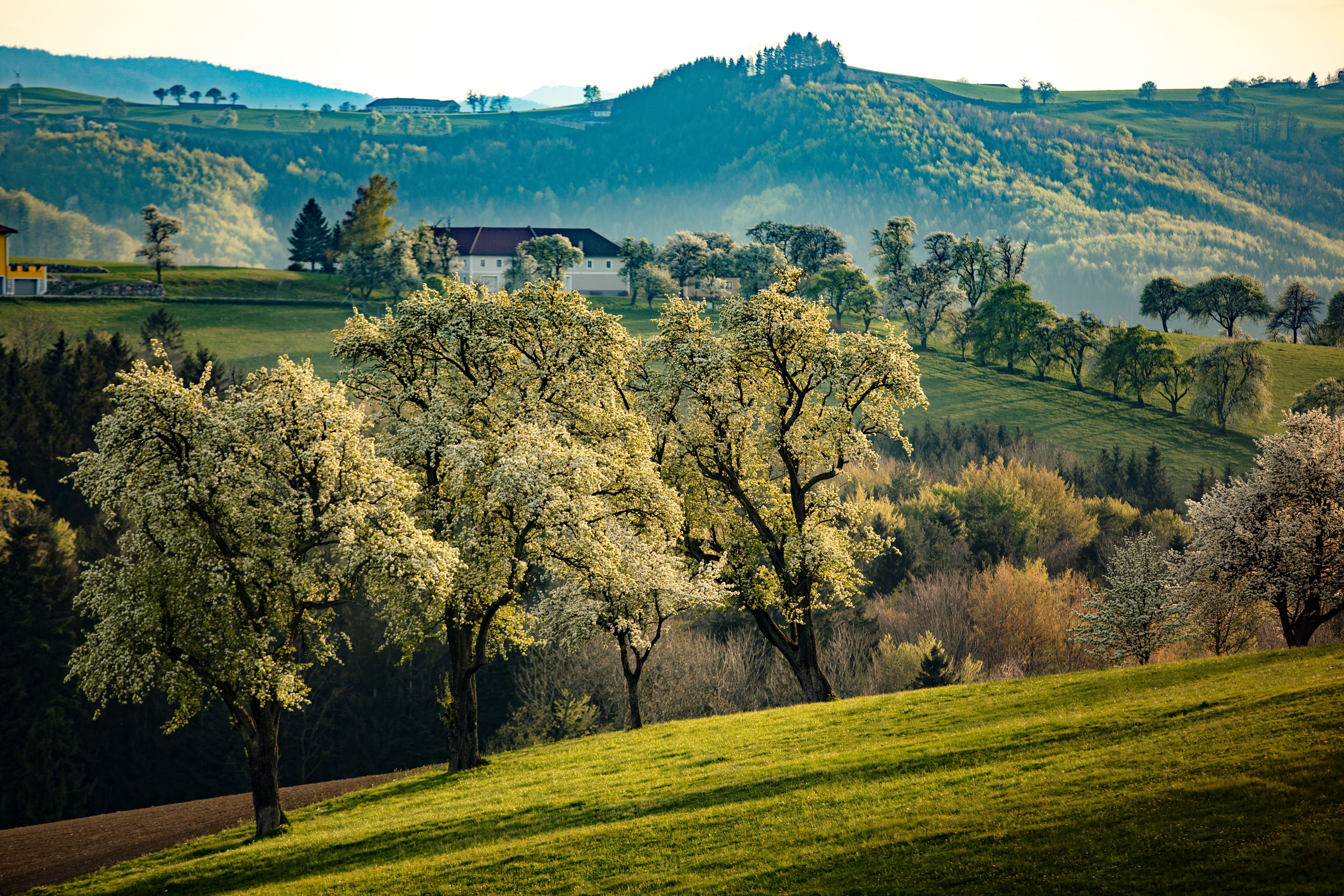
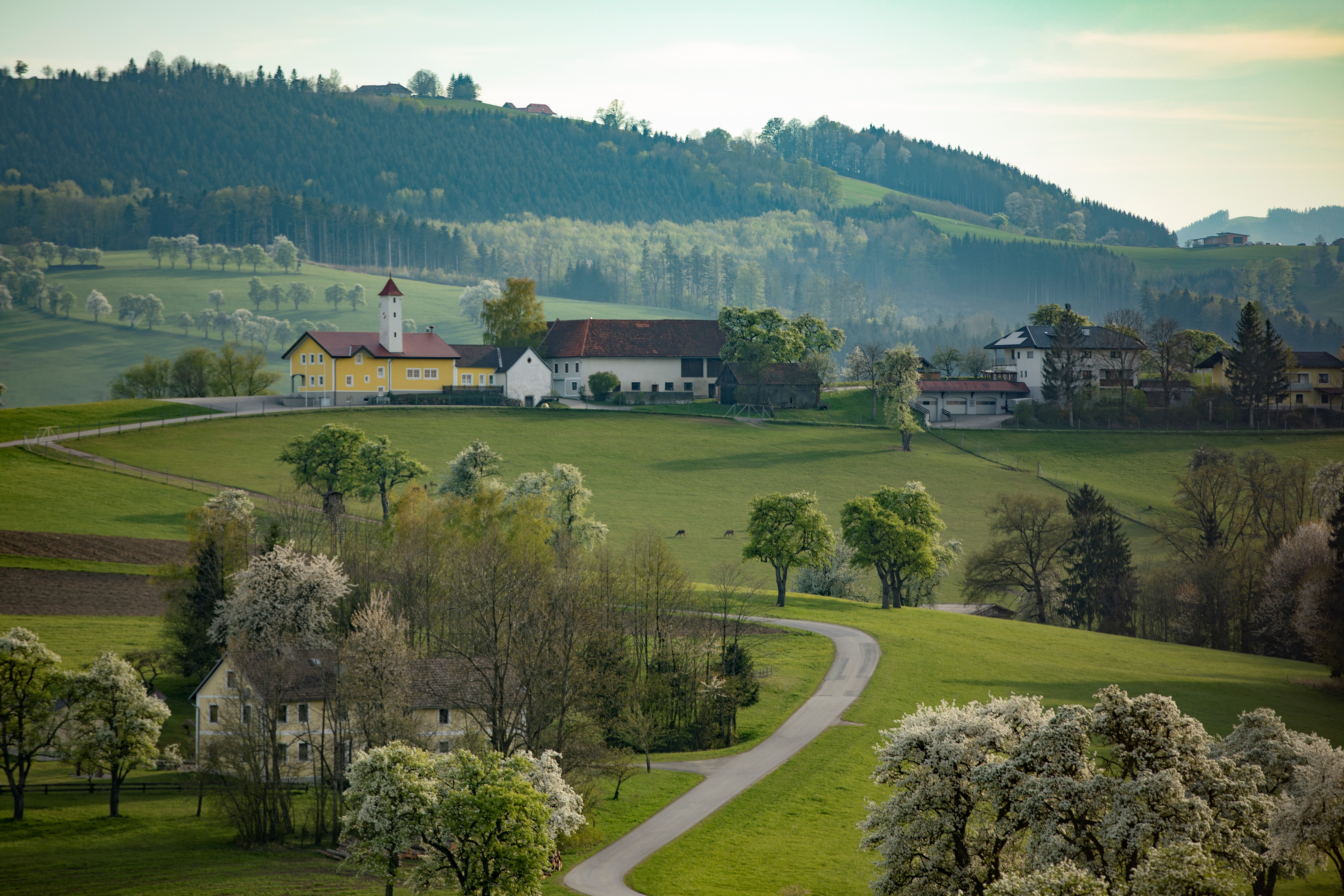
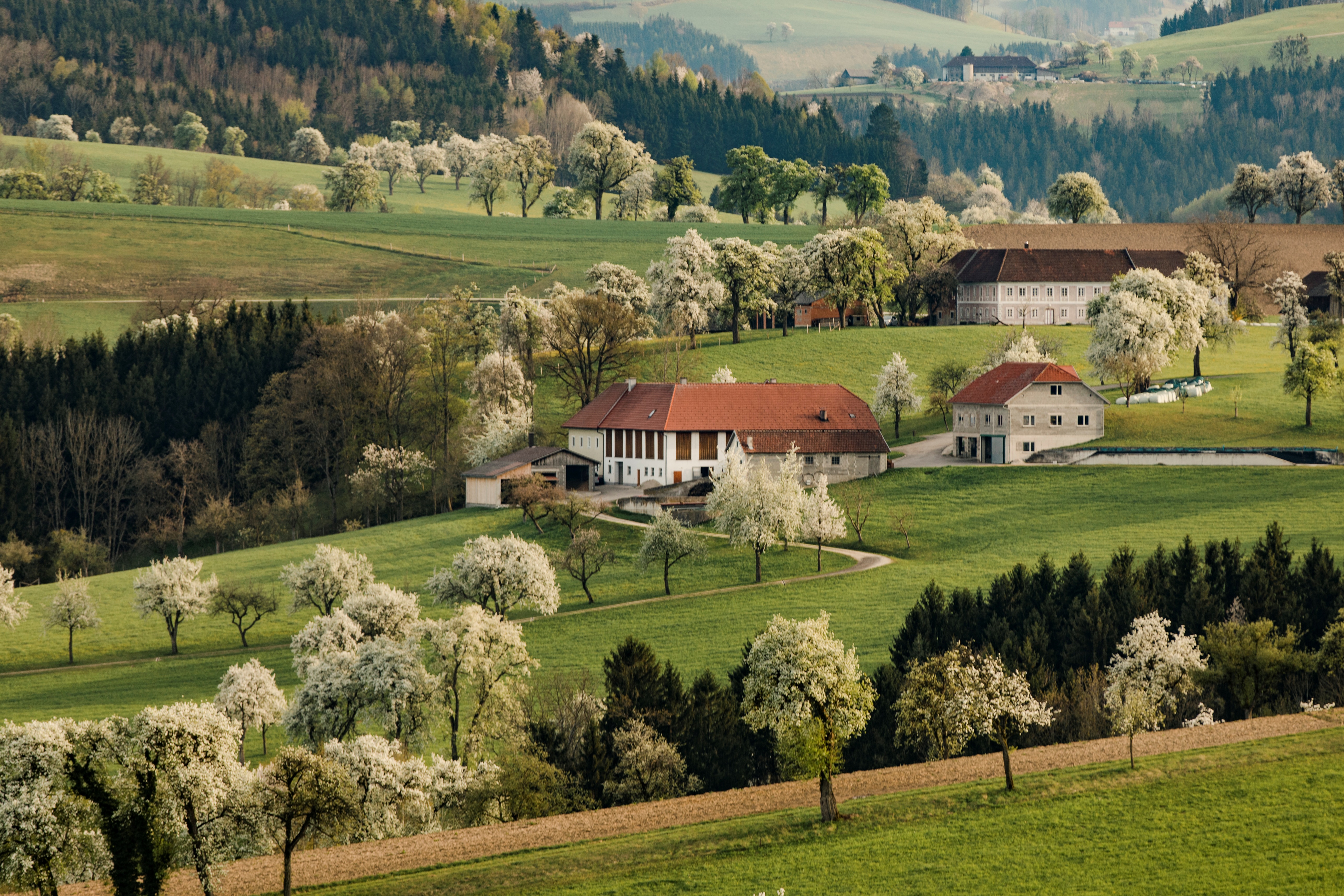
The approximately 6.5 km long hiking trail leads from Biberbach to the impressive "Karl-Lammerhuber-Blick". Once at the vantage point, hikers can expect a fantastic view of the Mostviertel hills and the Alpine foothills. This trail is particularly recommended during the pear tree blossom at the end of April.
The approximately 6.5 km long hiking trail leads from Biberbach to the impressive "Karl-Lammerhuber-Blick". Once at the vantage point, hikers can expect a fantastic view of the Mostviertel hills and the Alpine foothills. This trail is particularly recommended during the pear tree blossom at the end of April.
From Biberbach, head south to Wiesmühl, where the trail leaves the main road to the west and continues across meadows and through the forest over a bridge to Haus Kautzhof. Heading south along the L 6206, after 200 meters turn onto the L 6207 to the Kaltaigen hut. From here you hike up to the Gehartsberg, which is over 500 meters high, to the Karl-Lammerhuber-Blick. Now you can enjoy a wonderful view of Biberbach and the gentle hilly landscape with its many fruit trees and square farms. The hiking trail descends steeply via the "Kleeberg" estate road back down into the ditch with the "Biberbach", continuing downstream in a northerly direction along the L 6189 country road. The hiking trail branches off at the "Großnagl" farm access road and leads back to the "Wiesmühl" square farm via meadow and forest paths.
Comfortable shoes (the route runs on asphalt)
From Biberbach the trail starts to the South to the Wiesmühl (mill), from where the road continues west leaving the State Road and continues through meadows and through woods via a bridge to the House Kautzhof. Continuing south along the L 6206 after 200 meters on the L 6207 to the Rotte (tiny village) Kaltaigen. From here, you hike up to the over 500 meter high Gehartsberg (mountain) and to the to the Karl-Lammerhuber panorama-point. Now, you can enjoy a magnificent view of Biberbach and the gentle rolling landscape with its many fruit trees and farms. The trail now slopes harshly downwards past the trading road "Kleeberg" back into the valley/ditch along the "Biberbach" (stream) from where you continue along the stream to the north along the L 6189. The trail branches off at the estate access "Großnagl" and leads past meadows and forest trails back up to the Wierkanthof (estate) "Wiesmühl".
Parking is available behind the Raiffeisen bank and Biberbach municipality, as well as at the municipal yard.
Highway A1 exit Amstetten West - B1 towards Ybbs - at the 2nd roundabout take the 2nd exit - B 121 - before Kematen turn to Biberbach following the signs
Take the Westbahn trains to the Krenstetten-Biberbach stop (3.5 km from the town of Biberbach)
www.biberbach.gv.at
Letzte Änderung: 20 May 2026