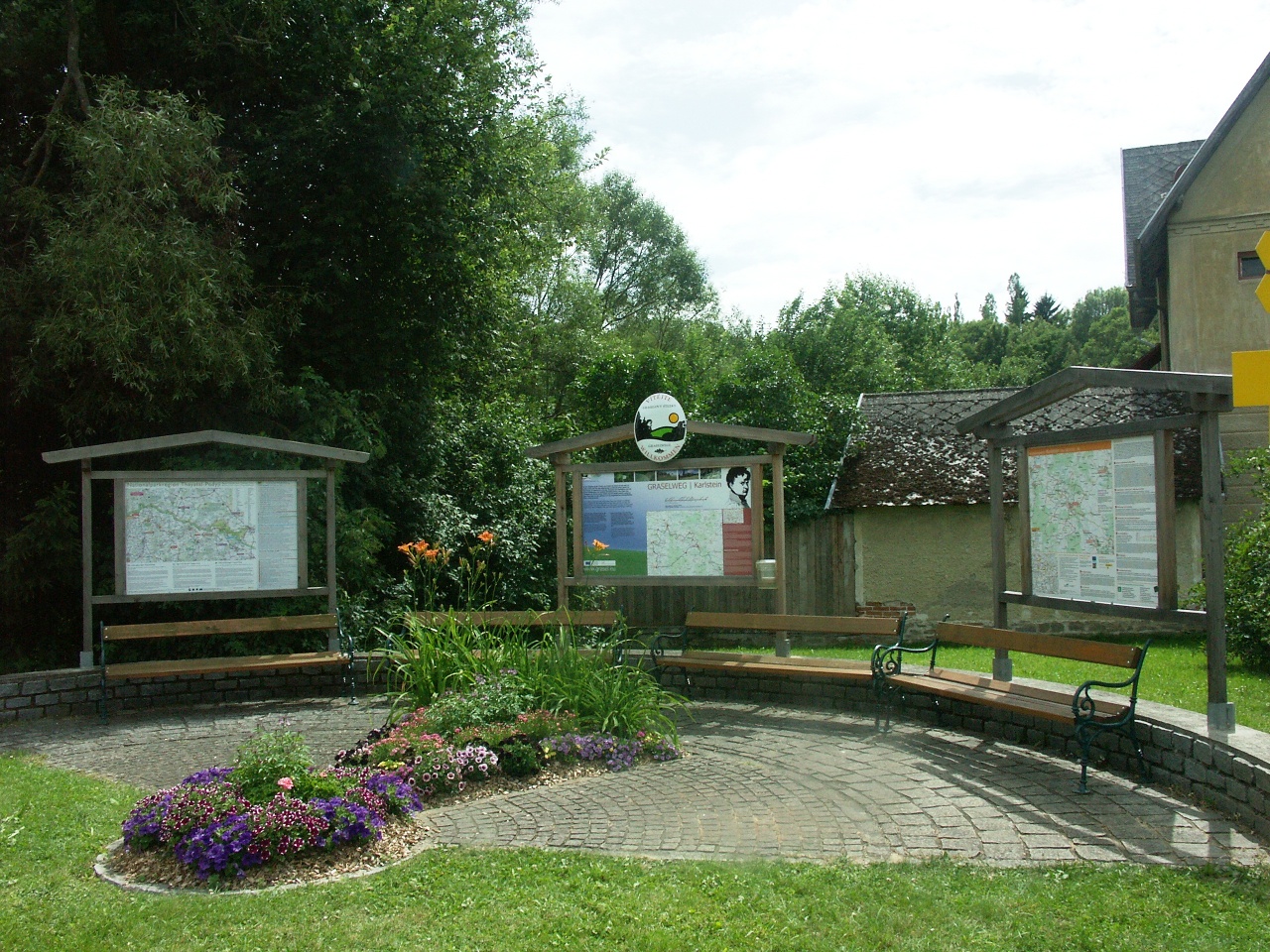
Karlstein Circular Hiking Trail
Use our AI guide
Do you have any questions about your stay?

The market town of Karlstein lies 440 m above sea level in the deeply incised Thayatal valley. Overlooked by a medieval castle built on a hill in the gneiss hills, the town is surrounded by rocky and wooded steep slopes and hills. Within this mystical landscape lie picturesque meadows, fields and farming villages. The historical significance of the town is illustrated above all by the spectacular fortress, which was a center of Protestantism in the late 16th century and was unsuccessfully besieged by the Swedes in 1645. Even during the First World War, it served as a prison for the Montenegrin general staff. Karlstein is also home to an interesting watchmaking museum. In addition to its historical sights, the town of Karlstein has also recently emerged as a center of herbal medicine: The famous herbalist Weidinger worked in the Paracelsus House.
The KRW trail winds through much of the municipality’s outskirts, passing several abandoned settlements that bear witness to the rapid colonization of the Nordwald by the Counts of Raab in the 12th century and to their destruction by the plague, frost, crop failures, and other natural disasters. Furthermore, in 1431, the Hussite Battle in the Harderwald dealt a fatal blow to many settlements. The starting point for this loop hike is the Thaya Bridge in Karlstein. You can, of course, hike the loop in either direction. Here, the route is described as going counterclockwise. From Karlstein, you’ll follow the 630 long-distance hiking trail toward Hohenwarth, but you’ll pass through the village of Münchreith. From the outskirts of Hohenwarth, a path leads you across the Ebenfeld. After about 2 km, turn left toward the south before reaching the Steinfeld, passing a small grove of trees on your way to the village of Göpfritzschlag. Shortly before reaching the village, you’ll pass the Galgenhügel on your right, where executions once took place. You won’t actually go through Göpfritzschlag itself; instead, you’ll continue straight ahead and bypass the village. As you bypass it, you’ll cross Edlitzerstraße and pass the middle of three wayside shrines lined up in a row. A little further south, you’ll reach a forest. After one kilometer, you’ll reach the abandoned village of “Schlag” in the forest. An old village blacksmith’s shop was discovered here during excavations. Just before the abandoned settlement, however, a path branches off to the left, which you follow all the way to the village of Griesbach. Here, too, you do not enter the village, but turn right before reaching the village entrance. At a fork in the trail, stay on the main path (leaning slightly to the right) and you’ll reach the Böhmstein, a 1-meter-high, weathered stone bearing a Gothic cross and an inscription that remains undeciphered to this day. It is believed that the stone was erected in connection with the Great Hussite Battle of 1431. You’ll now follow an old trade route, though you’ll leave it after just 500 meters by turning left. You’ll pass the abandoned village of Netraz and come to the road leading from Thaya to Schlader. Here, continue to the intersection marking the abandoned village of Klupans. Shortly afterward, you’ll turn right off the road and enter the village of Wertenau, which is part of the Textile Route. You’ll continue along the path toward Eggersdorf, crossing Waidhofener Straße and passing the abandoned village of Dankharts. You’ll pass through Eggersdorf and, at the edge of town, turn left onto Waidhofener Straße. Follow this road north for a short distance, then turn left again toward Goschenreith. At the entrance to Goschenreith, turn right, head north, and cross the Schladeinbach on a footbridge. Shortly after the footbridge, the KRW meets the “Alte Poststraße” loop trail, which you follow clockwise. Just before the end of your hike, this trail takes you back past the castle and a manor house. After the manor house, the trail descends over the “Deanaberg” toward the church. After the church, turn right and follow the main street back to the Thaya Bridge.
Vienna: A 22 – Stockerau – B 4 to Horn – L 8019 to Irnfritz – L 52 to Raabs/Thaya – L 8068 to the junction with the B 30 – B 30 to Karlstein/Thaya
Linz: A 7 toward Freistadt – B 310 to Freistadt – B 38 to Karlstift – B 41 to Schrems – B 2 to Vitis – B 36 to Waidhofen/Thaya – L 59 to Karlstein/Thaya
Karlstein Municipality
3822 Karlstein an der Thaya
Wilhelm Matzinger-Straße 2
T 02844/279, F 02844/500
gemeinde©karlstein-thaya.at
www.karlstein-thaya.gv.at
WALDVIERTEL Tourism
3910 Zwettl, Sparkassenplatz 1/2/2
(T) +43(0)2822/54109, Fax Ext. 36
Toll-free within Austria:
(T) +43(0)800/300 350
(E) info@waldviertel.at
(I) www.waldviertel.at
Letzte Änderung: 3 Aug 2026