
gpx_addressbase_29661
Krauste Linde Trail
Mountain bike tour Starting from
- Difficulty: Easy
- Distance: 0,76 km
- Duration: 0:05 h
- Ascent: 5 m elevation gain
- Descent: 38 m elevation gain
Flat connecting trail from the Krausten Linde to the Anninger Trail.
- Difficulty: Easy
- Distance: 0,76 km
- Duration: 0:05 h
- Ascent: 5 m elevation gain
- Descent: 38 m elevation gain
- Fitness level required:2/6
- Lowest point444 m
- Highest point482 m
Flat connecting trail from the Krausten Linde to the Anninger Trail.
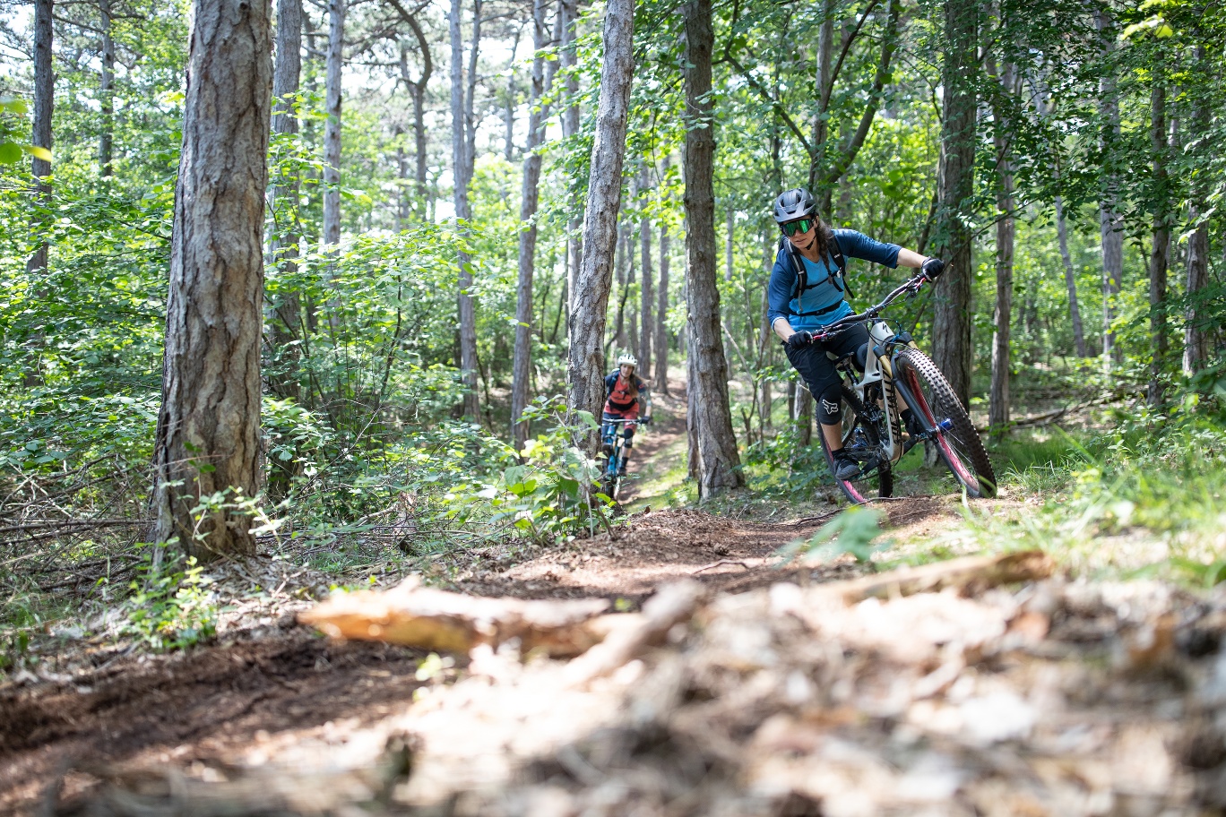
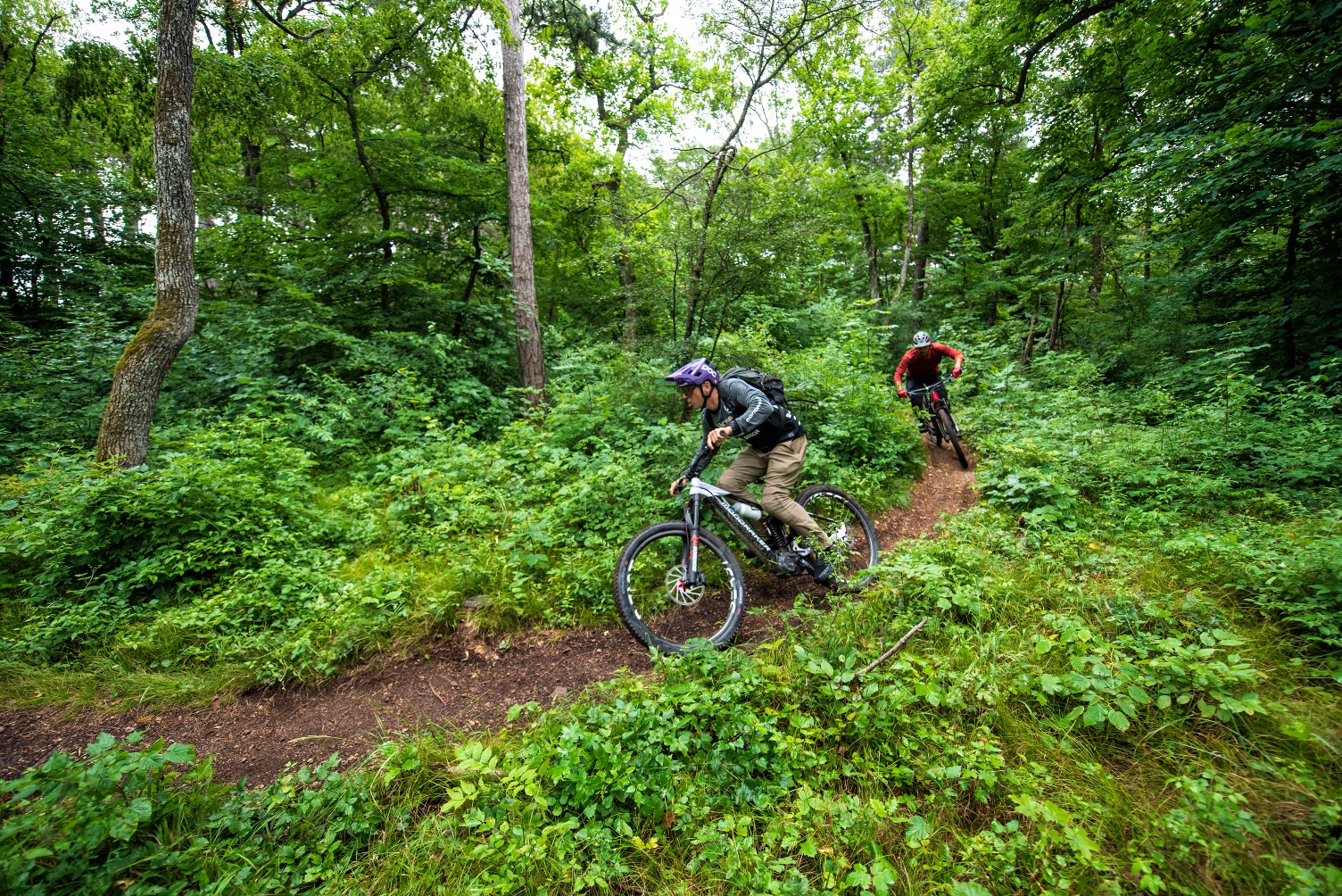
The Krauste Linde Trail was specially created by mountain bikers for mountain bikers north of the Anninger Straße, thereby reducing conflicts with other forest visitors. The trail now enables a continuous descent on trails from the Anninger Schutzhaus via the Alte Rodelbahn, the Krauste Linde Trail and the Anninger Trail down to Mödling. The Krauste Linde Trail thus replaces the transfer and is a flat trail with a few small climbs.
Recommended period
J
F
M
A
M
J
J
A
S
O
N
D