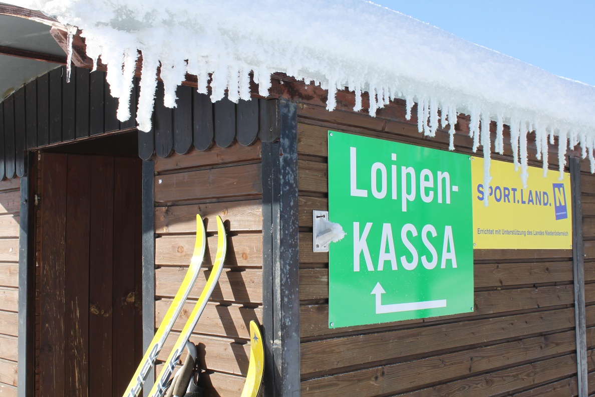
Cross-Country Skiing in Bärnkopf - Local Trail 1
Use our AI guide
Do you have any questions about your stay?

Tour Starting from Recreation Center
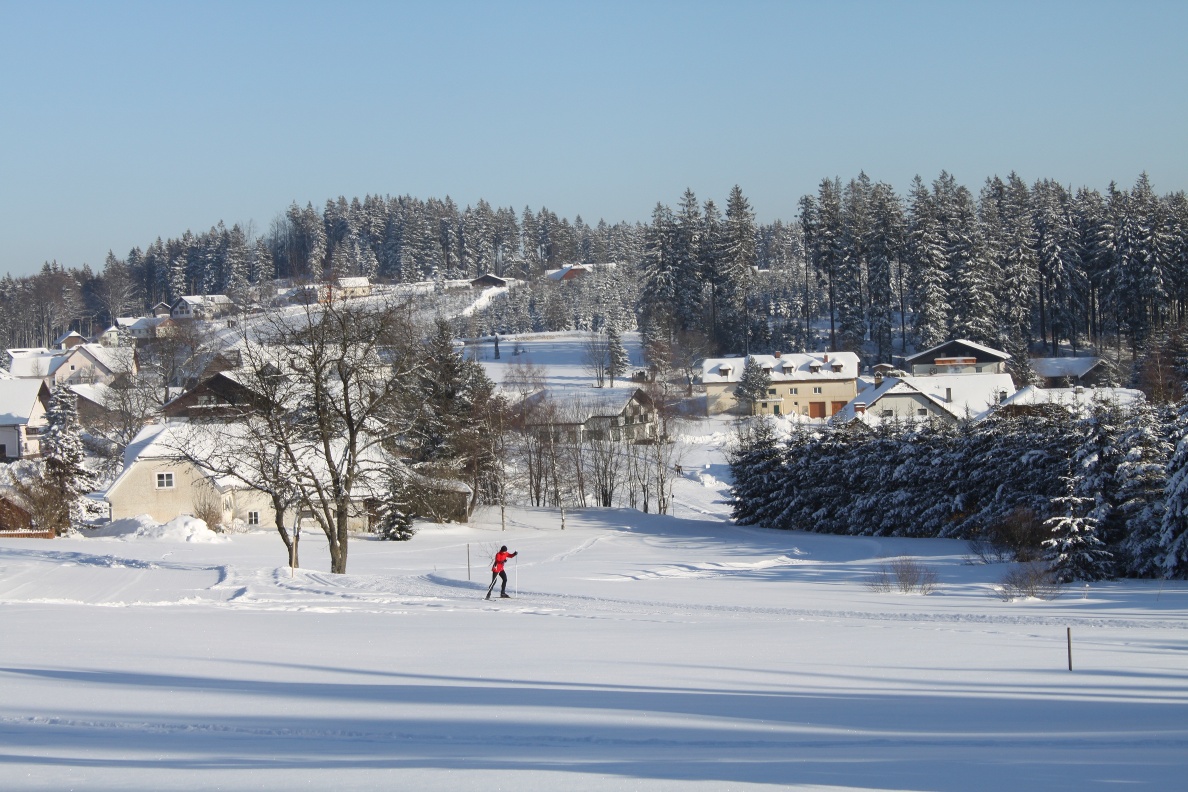
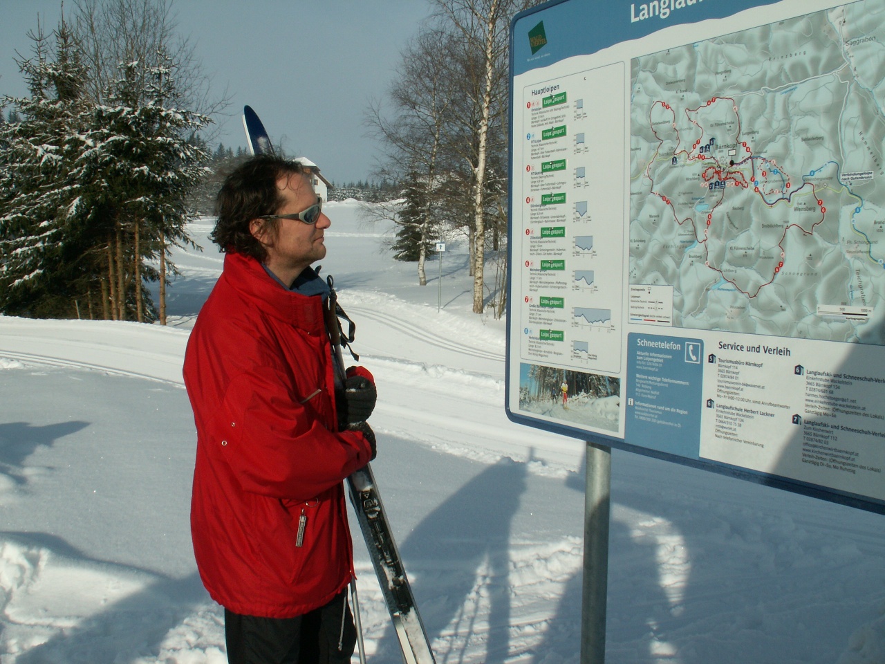
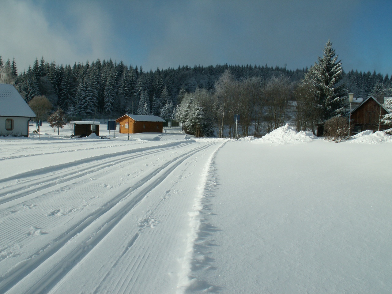
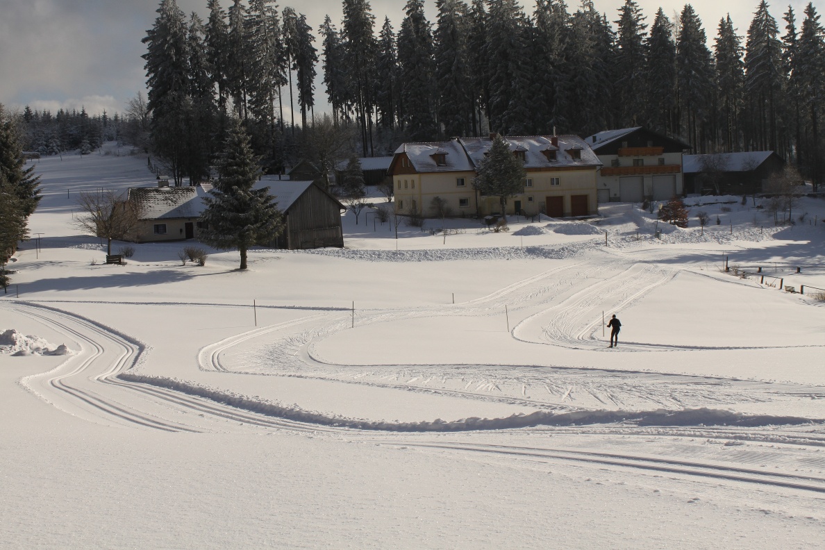
Difficulty red (medium), length 4 km, difference in altitude 50 m, total ascent 90 m Route runs through the village, partly open terrain, partly forest, sunny. Special feature: This trail is equipped with floodlights
Difficulty red (medium), length 4 km, difference in altitude 50 m, total ascent 90 m Route runs through the village, partly open terrain, partly forest, sunny. Special feature: This trail is equipped with floodlights
In summer, the Schlesingerteich pond with forest spring water quality offers the opportunity for fishing and swimming. In winter, Bärnkopf has made a name for itself as a cross-country skiing center. Bärnkopf is also an ideal starting point for hikes, MTB tours and excursions to interesting cultural monuments in the Waldviertel.
Floodlight Operation Upon Request - Information on Floodlight Operation
A1 - Westautobahn; Ybbs/Donau exit - B36 toward Zwettl to Laimbach - Gutenbrunn - Bärnkopf
Woodcutter Museum: The Woodcutter Museum features display panels that trace the development of the region from its early settlement to modern-day forestry. Old saws, axes, and other tools help bring this history to life. Various interactive stations let you explore wood, the forest, and the local way of life.
Municipality of Bärnkopf
3665 Bärnkopf No. 103
(T) +43(0)2874/82 12
(E)
(I) www.baernkopf.gv.at
Bärnkopf Tourist Office
3665 Bärnkopf 114
(T) +43(0)2874/8401
(F) +43(0)2874/8401
(I) www.baernkopf.gv.at
Waldviertel Tourism
3910 Zwettl, Sparkassenplatz 1/2/2
(T) +43(0)2822/54109
(E)
(I) www.waldviertel.at
Letzte Änderung: 3 Aug 2026