Do you have any questions about your stay?
Hiking tour Starting from Sallingberg, Market Square near the church
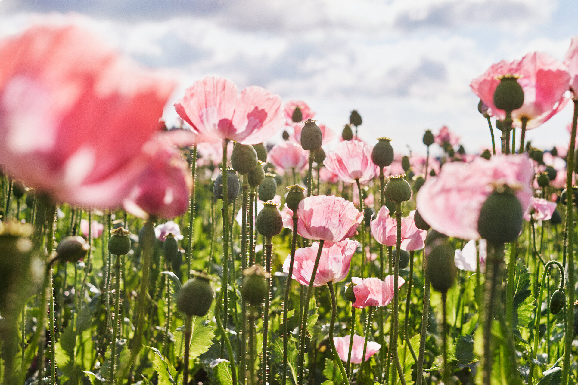
Hiking trails around the poppy village of Armschlag

When choosing your route, make sure it’s appropriate for your fitness level. Check to see if the restaurants and cafes you plan to visit along the way are open. Pack your fully charged cell phone and maps in your backpack. For cross-border trips, please always carry a passport or ID card with you.
Sturdy shoes, functional clothing, sun and rain protection, maps, trekking poles if needed, first-aid kit (blister bandages), and plenty of food (snacks, granola bars, fruit, water).
On the main road, turn left onto Schulgasse, and after the elementary school, turn right and continue on to the doctor’s office. After passing the last houses in Sallingberg, continue along the dirt road and walk slightly uphill into a forest. After about 1.5 kilometers, you can admire a natural landmark about 50 meters off the trail. It is an ancient spruce with a trunk circumference of several meters. Nearby, a bench with a small table invites you to take a short break. The trail continues across the fields to Lugendorf, where you cross the LB36 and turn left off the farm road—past the new residential buildings—onto a dirt path. You’ll now pass through a forest, past the former “Stocket,” where you can still see the route of the old postal road to Zwettl. The trail then leads out of the forest into the valley of the Große Krems and on to the poppy village of Armschlag. Here you have the opportunity to visit the poppy nature trail, the poppy show garden, the poppy farm shop, and the Mohnwirt Neuwiesinger, where you can enjoy delicious treats to refuel. Your trail, however, takes you on from the poppy village. Under the LB36 highway bridge, you’ll hike along the right bank of the Krems through the forest, always following the trail markers, and eventually pass the Sallingberg Recreation Center and continue onto the main road, where you turn right, follow the road, and finally return to the starting point at the market square near the church.
Vienna - A22 to Stockerau - S5 to Krems - B37 to Gföhl - turn toward Lichtenau onto the L76 to Brunn am Walde; from there, take the L73 to Lichtenau - in Lichtenau, take the L76 to Sallingberg
Linz – A7 to Unterweitersdorf – take the S10 to the Sandl exit - Take the B38 to Karlstift – continue on the B38 to Zwettl – in Zwettl, switch to the B36 toward Ottenschlag – follow the B36 to Lugendorf and turn toward Sallingberg (L76)
A quiet, mostly flat hiking trail that winds through meadows, fields, and woods.
Leider können wir Ihnen zum jetzigen Zeitpunkt keine Wetterdaten für den Ort anzeigen.
Market Town of Sallingberg
3525 Sallingberg, Hauptstraße 24
(T) +43 2877 8344
(E) gemeinde@sallingberg.at
(I) www.sallingberg.at
Waldviertel Tourism
3910 Zwettl, Sparkassenplatz 1/2/2
(T) +43 2822 54109
(E) info@waldviertel.at
(I) www.waldviertel.at
Letzte Änderung: 3 Aug 2026
