
Most fruit hiking trail
Use our AI guide
Do you have any questions about your stay?

Hiking tour Starting from Benedictine Abbey Seitenstetten
Varied hike with rest stops and panoramic views
Varied hike with rest stops and panoramic views
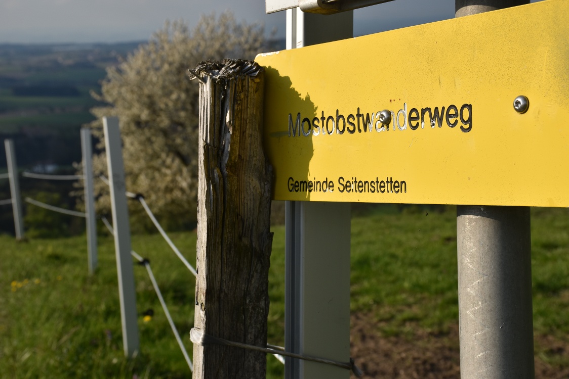
Seitenstetten cider fruit trail - experience nature, culture and far-reaching views
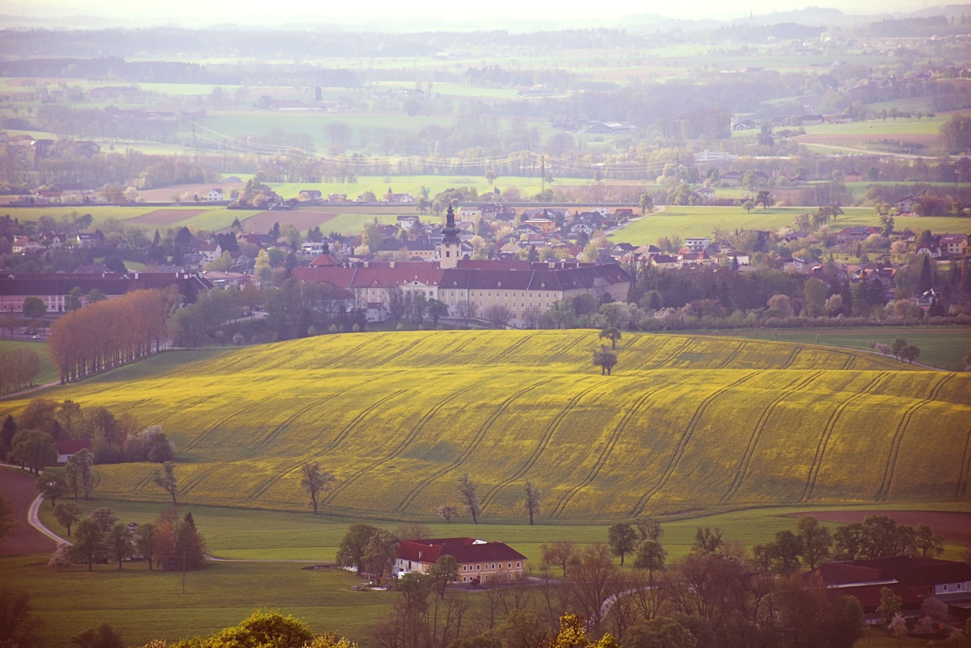
The cider fruit hiking trail starts directly at the magnificent Seitenstetten Benedictine Abbey and leads into a charming cultural landscape with numerous fruit trees - ideal for enjoying nature, regional history and views of the Alpine foothills.
From the abbey, walk south past the abbey parking lot to the fork in the path at the so-called Franzosenwald. A wrought-iron cross there commemorates soldiers who once fell in battle against the French.
Keep left here and follow a pleasant country lane to the first houses in the village of Hofing. At the crossroads, continue to the right on the asphalted "Steingrub" estate road. The path climbs gently - you soon reach the farm of the same name and continue up to the Blümelsberg hill.
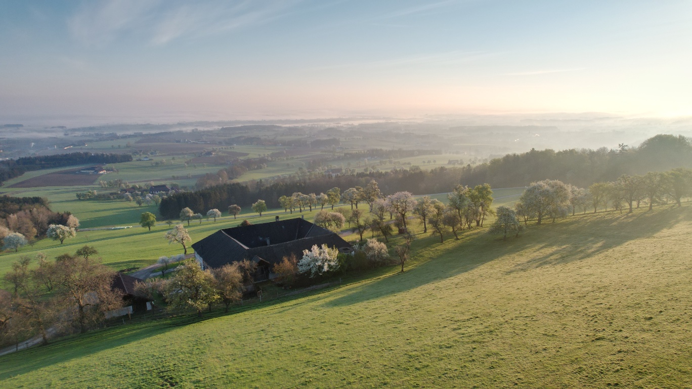
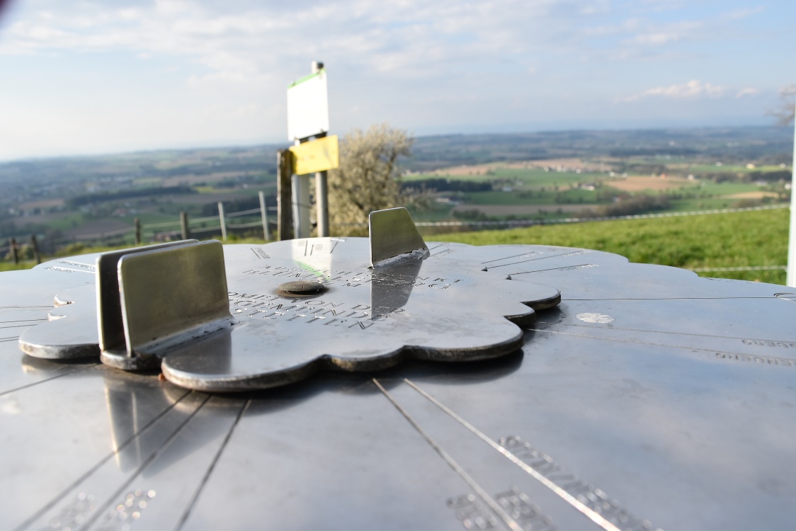
Once at the top, a breathtaking panoramic view of the Mostviertel Alpine foothills awaits. There is a panorama plate on the Blümelsberg hill, which can be used to identify prominent mountains and places. On clear days, the view to the north extends as far as the Mühlviertel and Waldviertel, and to the south as far as the Sonntagberg, Hochkar, Ötscher and beyond.
The path now leads downhill, past the Blümelsberg farm. After about 500 meters you reach a crossroads - turn left here and walk through a small wooded area down to the main road.
Turn left again and follow the road back towards Seitenstetten. The way back leads through the idyllic Haiderholz, past the Haider houses, the small Schintinger chapel and the Dachsbach settlement.
Shortly before the village center, turn left again onto a paved path that leads directly back to the starting point at the monastery.
Sports shoes, normal street shoes
Start at the Benedictine Abbey Seitenstetten - head south past the abbey parking lot to the Franzosenwald - turn left, follow the field path to the houses of Hofing - turn right, Steingrub farm road - Blümelsberg hill (panoramic view) - downhill, past the Blümelsberg square farm - intersection left, downhill through the forest, turn left towards Seitenstetten - Schintinger Chapel, continue straight - turn left up to the starting point Benedictine Abbey Seitenstetten
Arrival by train and bus is possible, information at www.oebb.at and www.vor.at. The nearest train station is St. Peter-Seitenstetten. From the station there is a bus connection directly to Seitenstetten.
Taxi companies for further travel: We recommend informing the taxi company in good time and booking the desired ride in advance!
Taxi Raab: 0676 3398 410
This circular route offers a varied hike through extensive fields and meadows. Along the way, you pass typical Mostviertel square farms and an impressive viewpoint that is worth a break and a look into the distance.
www.seitenstetten.gv.at
Letzte Änderung: 4 Aug 2026