Municipal boundary path Maria Anzbach
Use our AI guide
Do you have any questions about your stay?

Hiking tour Starting from "Marketplace" Maria Anzbach
If you walk this path, you know Maria Anzbach. The path runs almost along the municipal boundary and also leads into the town center. Maria Anzbach shows itself from several beautiful sides. The individual landscapes differ greatly from one another and each section has its own charm. You should take your time to really enjoy this challenging tour.
If you walk this path, you know Maria Anzbach. The path runs almost along the municipal boundary and also leads into the town center. Maria Anzbach shows itself from several beautiful sides. The individual landscapes differ greatly from one another and each section has its own charm. You should take your time to really enjoy this challenging tour.
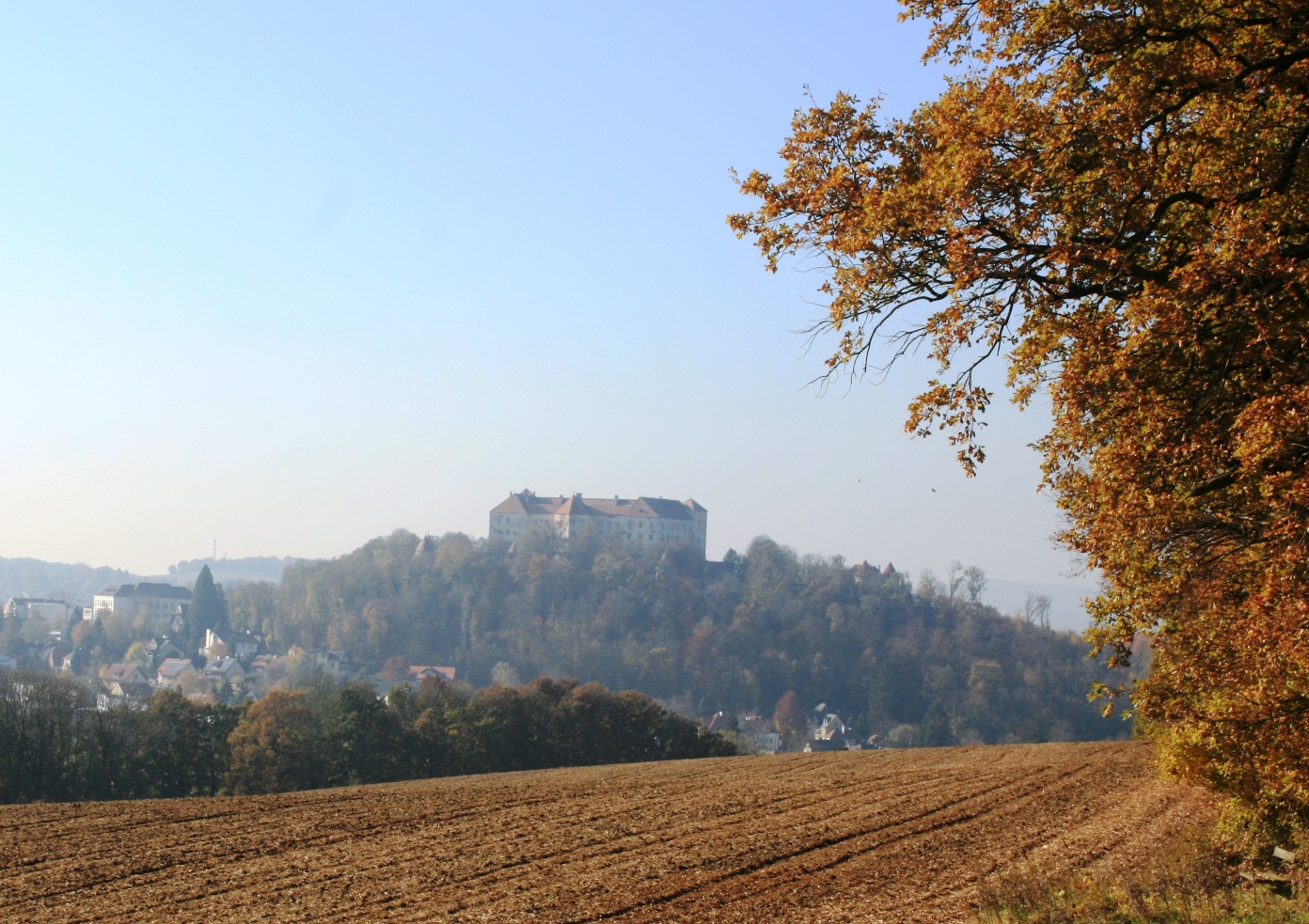
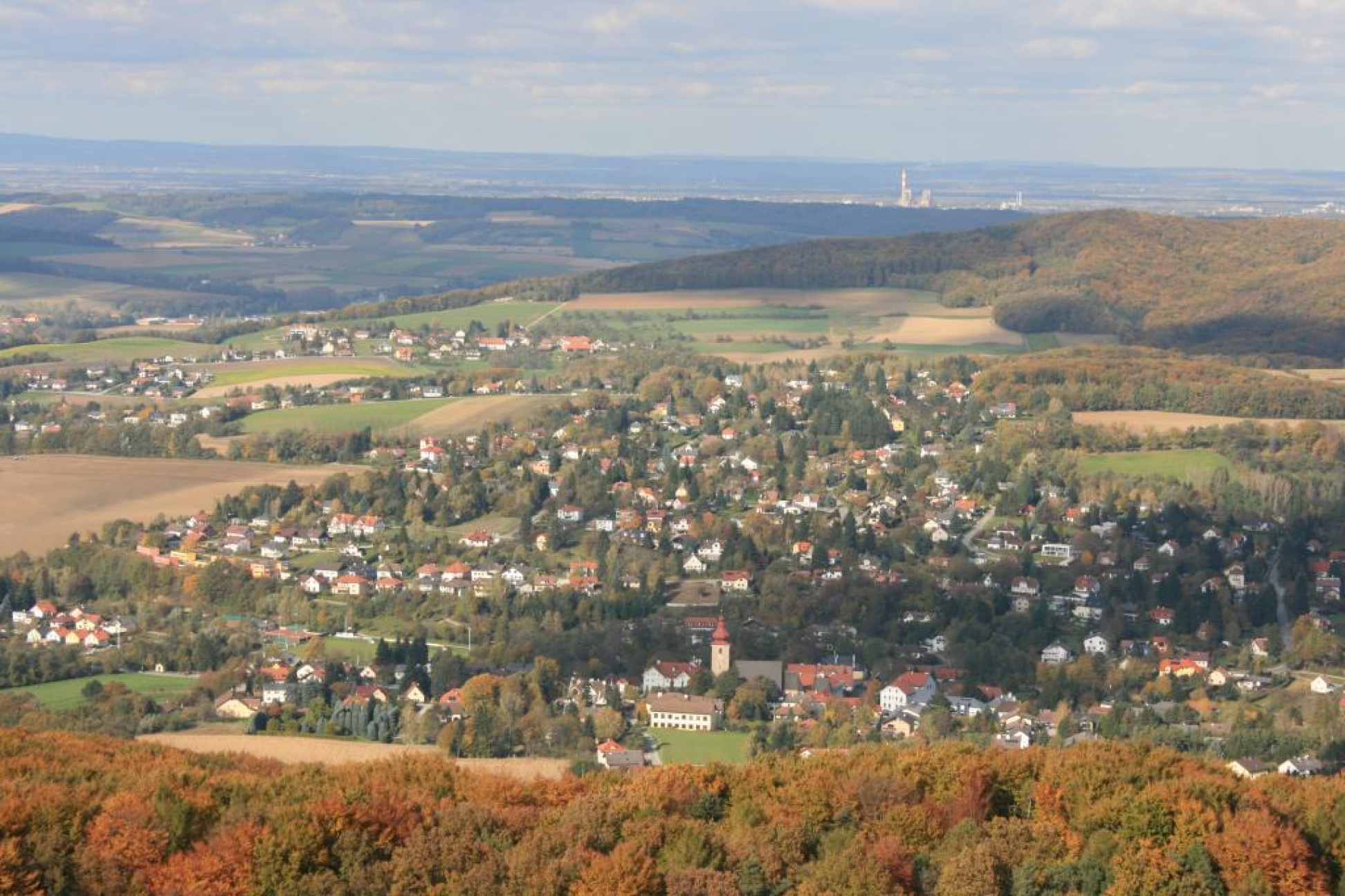
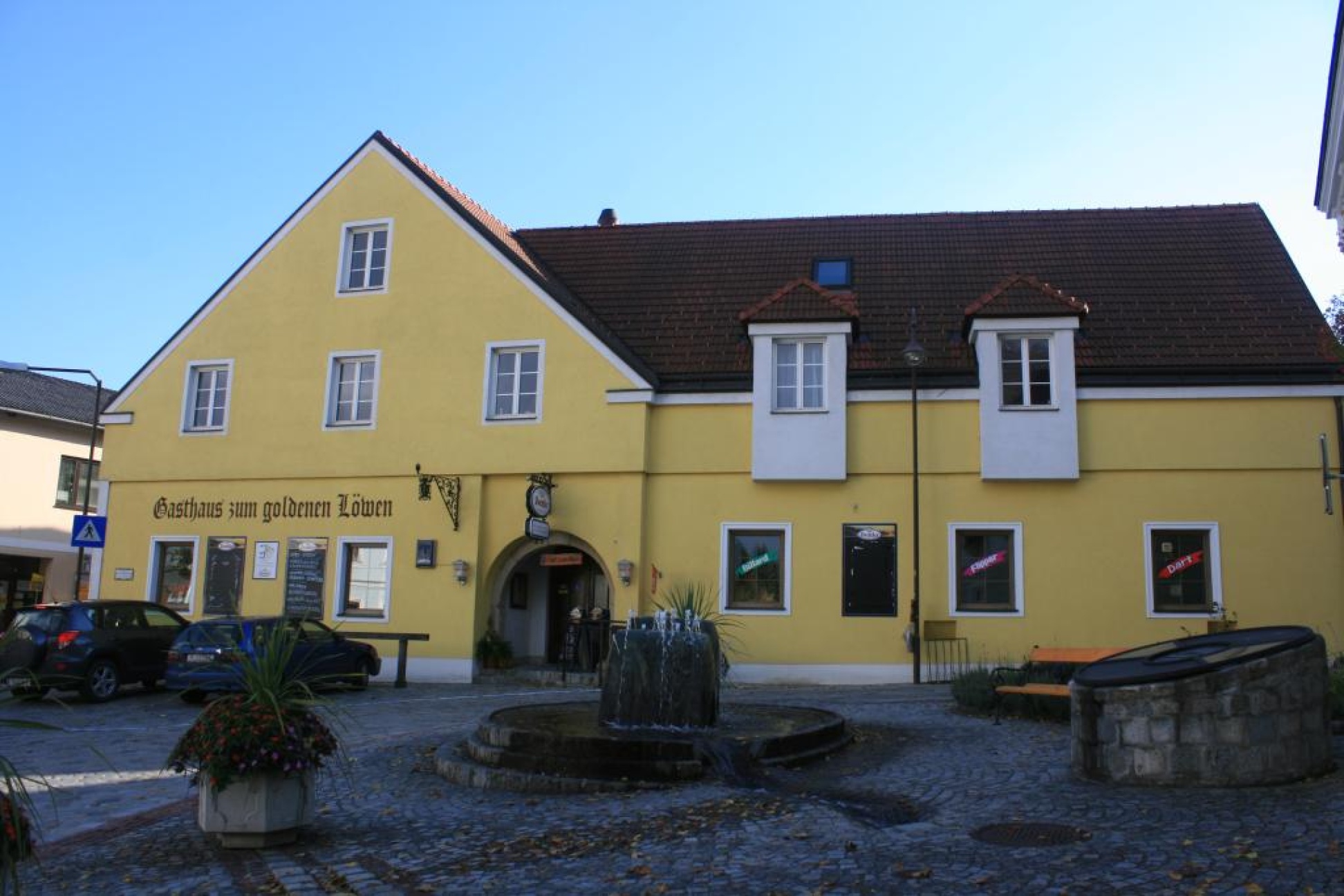
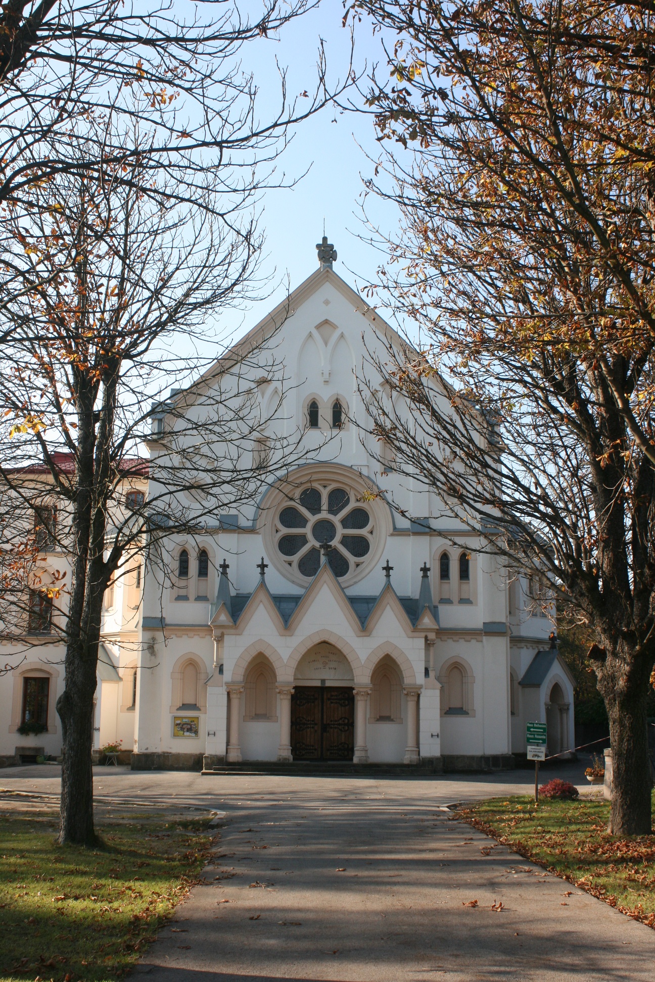
Maria Anzbach is a pilgrimage site with a long history and stunning scenery. On the renovated market square in the center of Maria Anzbach, you’ll find the “Zum Goldenen Löwen” inn—which has been in operation since 1779—the old schoolhouse, and the Goldammer Museum. The artist has held many exhibitions both in Austria and abroad. The highlight is the pilgrimage church “Maria Anzbach: To the Mother of Mercy.” On this tour, you can explore the diverse landscapes of Maria Anzbach, each with its own unique charm. To the south of the municipality lies the 516-meter-high Kohlreithberg, from where you can enjoy a fabulous view of the Anzbach Valley from the newly erected Millennium Cross. To the north of the municipality lies the 469-meter-high Buchberg, from where you can gaze from the Ötscher all the way to the Waldviertel from the Buchbergwarte, which was rebuilt in 2004. The lookout tower also houses many historical photos and several interactive display panels. Geologically, the mountain itself consists of what is known as the Buchberg Conglomerate—limestone and flysch gravel from the Limestone Alps. An outcrop near Burgstall makes this visible. When hiking around Maria Anzbach, you’ll spend most of your time in near-pristine forest dominated by European beech and spruce. In some places, the trail leads through extensive pastures belonging to the region’s cattle and horse farms. Near the village of Hart and on the Eichberg, you’ll come across Roman-era burial mounds. The picturesque Rotes Kreuz wayside shrine, set against the backdrop of the Lengbach Valley, is a perfect spot to take a break.
Normal hiking equipment
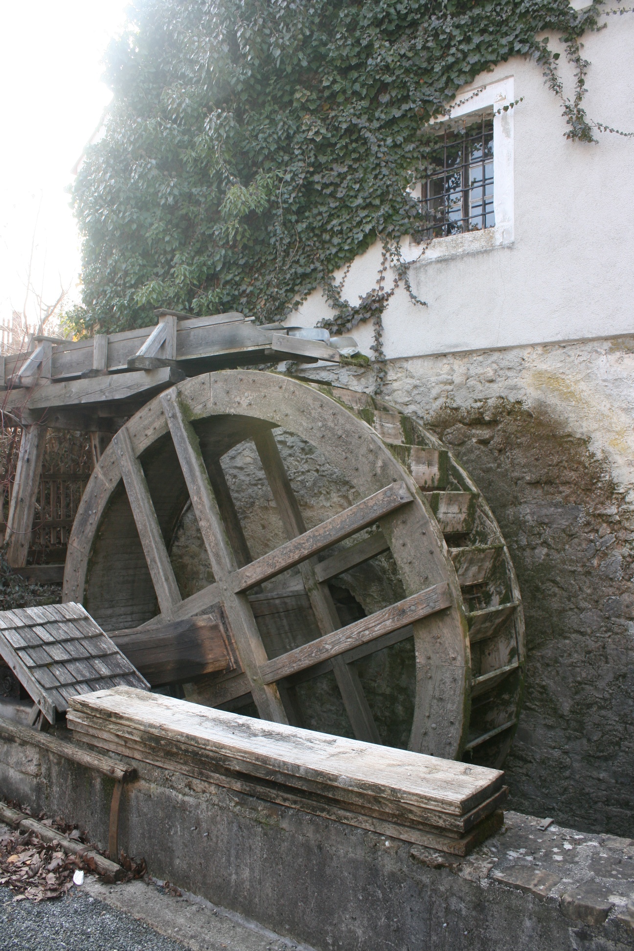
The route starts at Maria Anzbach main square. There are several inns here, as well as the worth-visiting Goldammer Museum, and nearby the Schönbeck Mill. You start westward on the main street, then turn into Sportplatzpromenade and reach Eichengasse above the sports field. At the end of the development, you turn right and from there follow the red marking. The path leads into Birkengasse, then over a field path into Tulpengasse, and at the outskirts of Maria Anzbach into Johannesbergstraße. Here you must turn left to reach Burgstall via a forest path. There you follow the blue marking up to the summit. Here are the Buchberg lookout, offering a dreamy view, and a shelter. You return, keep left, and after about 500 m turn right onto a forest path. At its end, you march right, pass Oed and follow the blue marking at the village exit to the left and reach the summit of Eichberg after about 2 km. Then you pass barrows and arrive at Erlaa. At the end of the village, the path turns right and leads uphill into the forest. Here you arrive at the junction with access no. 1 to the Eichgrabener Höhenwanderweg, which you now follow downhill. This leads you to Martinstraße in Stein, follow the marking straight into Große Steinstraße, Klosterfriedhofstraße and finally via Klosterstraße to Furth. At the main road, turn right and walk on a footpath beside the road to Unter-Oberndorf. At the village entrance, cross the road and go left uphill into Huttenstraße. After about 1 km, you reach Ottenheim. At the next junction, turn left, then pass Burweg and arrive at Knagg. Here you follow the blue marking over Götzwiesen further to Kohlreith, where you turn right and reach the Kohlreith summit. After the beautiful view over the Anzbach valley, you return to the junction and go left, following the blue marking towards Hart. There you hike right and after a short forest section reach the wayside shrine Rotes Kreuz near Haagen. Here you turn right and follow the green mark downhill through the forest to Pameth. After a while, a blue mark joins, which you follow to Hofstatt station. From there, continue via Karolinengasse, main street and Weinhebergasse to the Anzbach, where you turn right onto a small path leading back to the sports field.
Public parking lot in a short-term parking zone; no parking fees apply
Parking Note: Please follow local parking regulations and check for any parking fees or time restrictions. We recommend checking the parking situation in advance to ensure a stress-free arrival.
Take the A1 highway and exit at St. Christophen; follow the road to the roundabout. Take the B19 toward Neulengbach, then the B44 toward Maria Anzbach
or take the A1 highway and exit at Pressbaum, then take the B44 toward Eichgraben
Travel Advice: Please check the route to the meeting point in advance and allow plenty of time. Be aware of possible traffic delays, road construction, or public transportation disruptions.
Wienerwald Tourism
3002, Purkersdorf, Hauptplatz 11
Tel. 02231/621 76
Fax 02231/655 10
Region Elsbeere Wienerwald
3040 Neulengbach, Kirchenplatz 82
Tel. 02772/524 84
Market municipality Maria Anzbach
3034 Maria Anzbach, Marktplatz 22
Tel. 02772/52481
info@maria-anzbach.at
www.maria-anzbach.at
Letzte Änderung: 6 Aug 2026