Nature park route with dowsing path
Use our AI guide
Do you have any questions about your stay?

Hiking tour Starting from Main entrance nature park, church
Educational information about dowsing and radiesthesists (dowsers) and special places of power await visitors along the dowsing path.
Educational information about dowsing and radiesthesists (dowsers) and special places of power await visitors along the dowsing path.
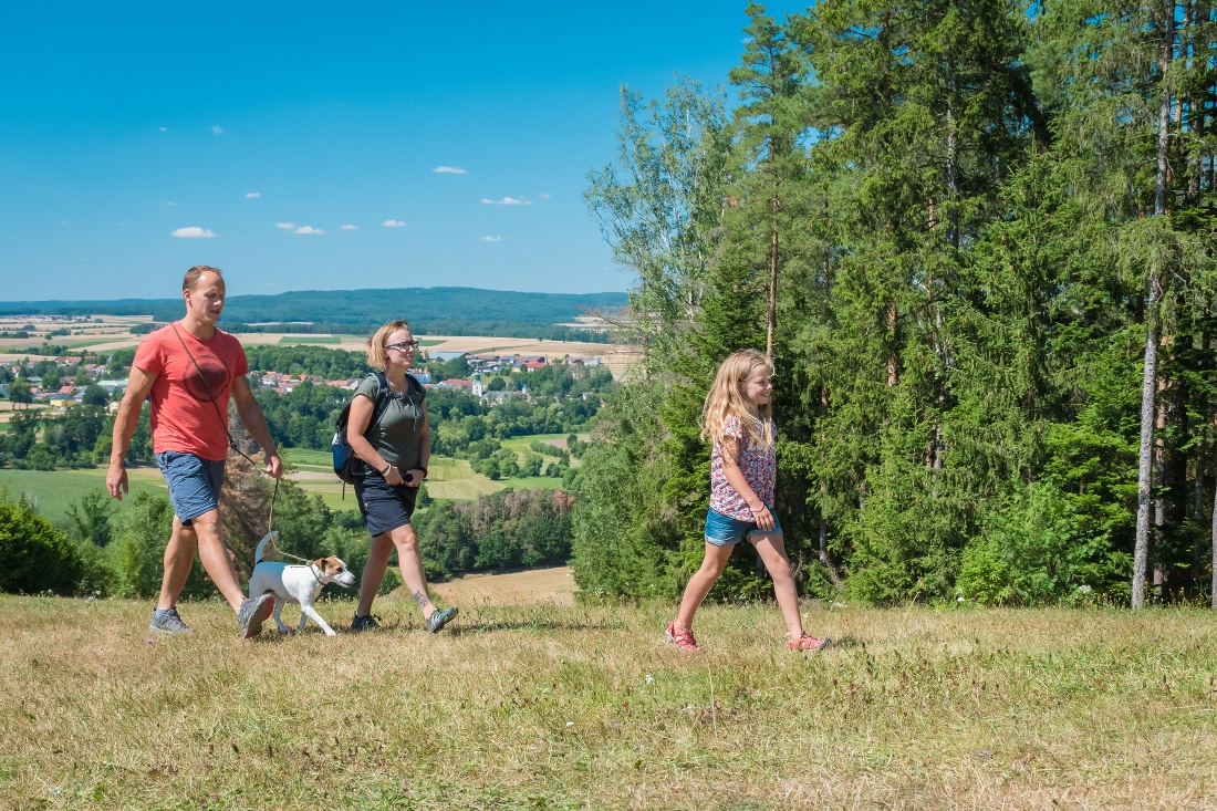
The hiking circuit starts at the main entrance to the nature park and leads along the forest nature trail to the fallow deer enclosure, where mouflons and sheep enjoy small treats (feeding machine).
Fish watching is best done from the Pioniersteg, which also offers a great opportunity for children to admire the Thaya through its glass fronts.
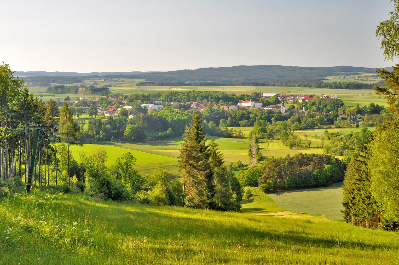
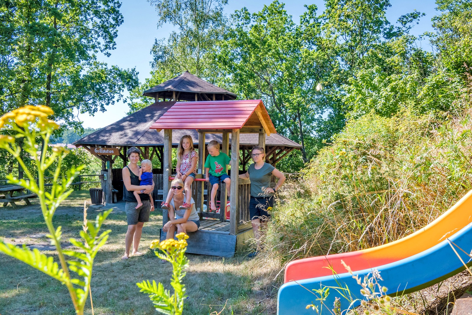
The snack station (at the barbecue hut) invites you to enjoy a cozy get-together on Sundays and public holidays from May to October. The trail continues to the right, where the dowsing path begins with information boards for dowsing practice. At the rock pond, the highest point of the nature park, you are rewarded with a breathtaking view.
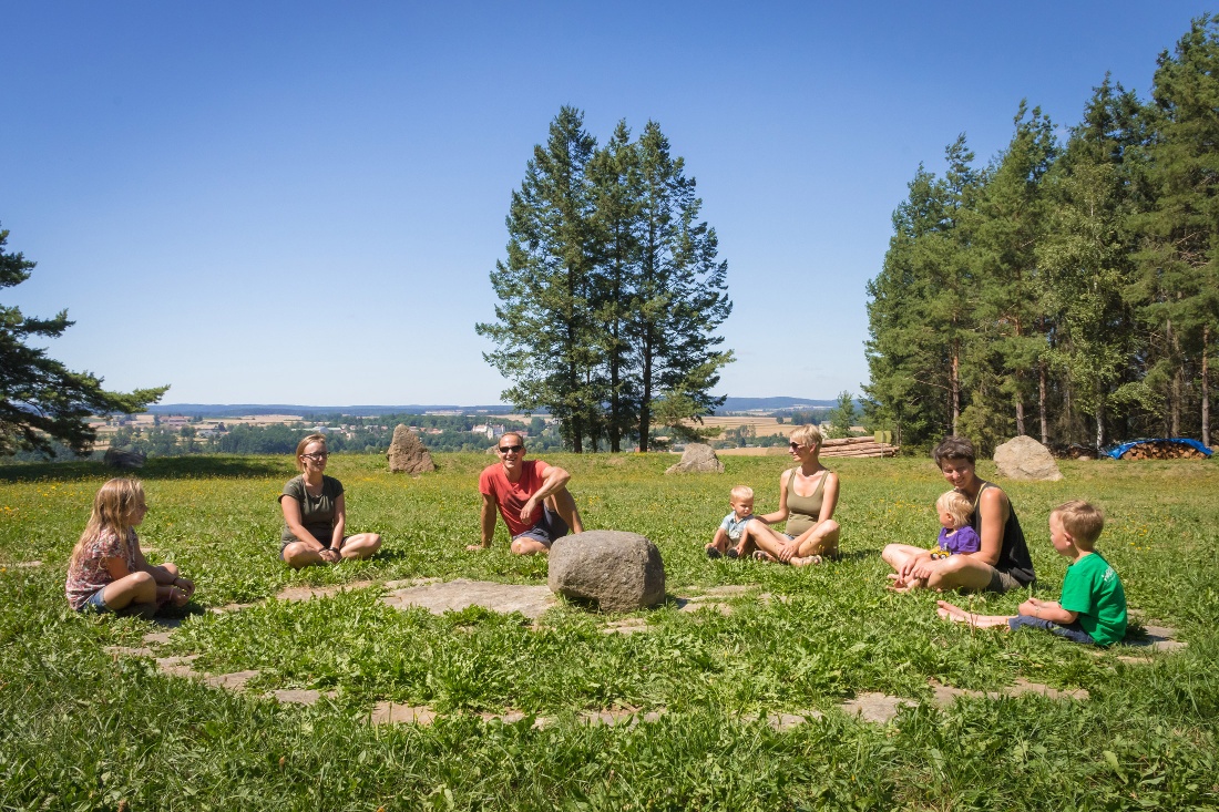
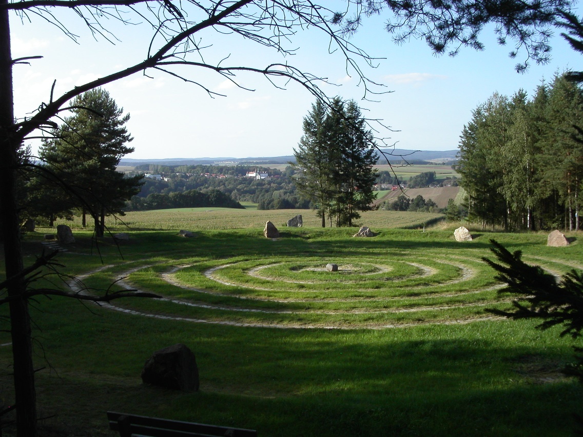
The Arena - Geomantica, a radiesthetic course and place of power, is located nearby. The Lorelei rock down to the Fern Gorge is an adventure. In order to enjoy the beautiful places along the nature park circuit with the dowsing rod trail, we recommend planning a duration of 3 hours.
Make sure the route you choose matches your fitness level. Check whether the restaurants you plan to visit along the way are open. Pack your mobile phone and map material in your backpack.
Sturdy footwear, functional clothing, sun and rain protection, map material, if necessary telescopic poles, first aid kit (blister plasters), sufficient provisions (snack, muesli bars, fruit, water)
The parking lot by the church is the starting point for the nature park route with the dowsing path. It runs along the "old" Thaya River to the playground and fallow deer enclosure, where you go left to the Pioneer Pier. Walk right past the Fountain of Youth, up to the barbecue hut where the dowsing path begins on the right. Initially, the path leads through the forest, then along the paved farm road (turn left) about 200 m uphill to the edge of the forest. Signposts indicate the further course to the "rock pond," the highest viewpoint. On the farm road, you reach the Arena – Geomantica, a radiesthetic course and a place of power. You walk 250 m to the left to the wild boar enclosure. Here you turn right and walk down the farm road, over the stream, up over the federal road to the forest. Now you walk about 200 m. Then turn left and go down to the junction "Lorelei rock." The path, first above and later beside the Thaya, leads you back to the village.
Free parking at the medical center (Waidhofener Str. 5). The nature park entrance is about 50 m away next to the church.
Vienna: A22 - Stockerau - B4 to Horn - B2 to Göpfritz an der Wild – B5 to Waidhofen/Thaya – B36 to Dobersberg
Linz: A7 to Unterweitersdorf - on the S10 to Sandl exit - over the B38 to Karlstift then continuing on the B41 to Schrems - B2 to Vitis - B36 to Dobersberg
Your exact route can be planned using the VOR route planner www.anachb.vor.at.
Rest at the snack station from May 1 to October 26, Sundays and holidays from 3 p.m.; fallow deer enclosure, wild boar enclosure with our Uschi and our Jakob
Arena Geomantica
Thayatal Nature Park Dobersberg
3843 Dobersberg, Schlossgasse 1
(T) +43 (0) 664 115 44 98
(E) naturpark.dobersberg@aon.at
(I) www.naturparkdobersberg.at
Contacts: Chairman Leopold Ledwinka or Deputy Chairman Claudia Dielacher
Municipality Dobersberg
3843 Dobersberg, Schlossgasse 1
(T) +43 2843 2332
(E) gemeinde@dobersberg.gv.at
(I) www.dobersberg.gv.at
Waldviertel Tourism
3910 Zwettl, Sparkassenplatz 1/2/2
(T) 02822/54109
(E) info@waldviertel.at
(I) www.waldviertel.at
Letzte Änderung: 3 Aug 2026