Upper Austria Mariazellerweg: C: Stage 3: Haag – Seitenstetten – Sonntagberg
Use our AI guide
Do you have any questions about your stay?

Hiking tour Starting from The Hague - Salaberg
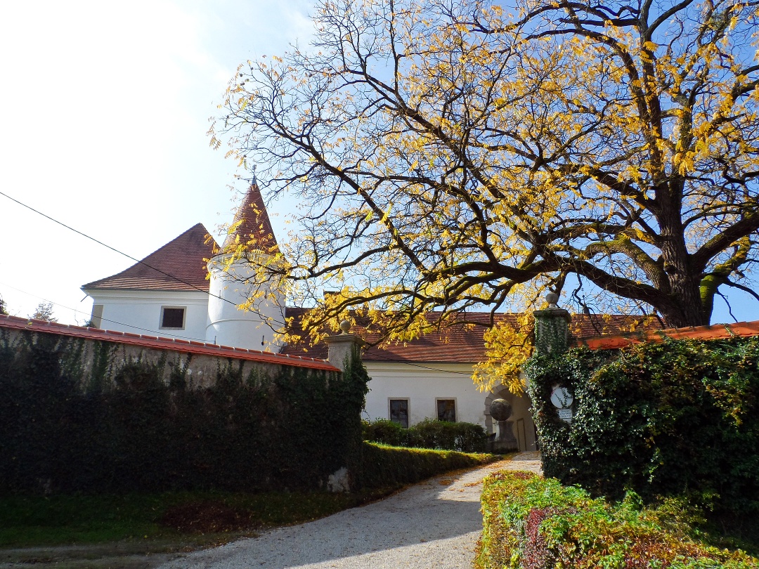
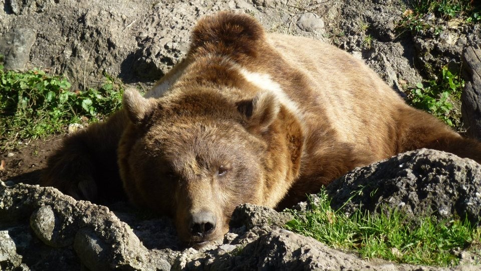
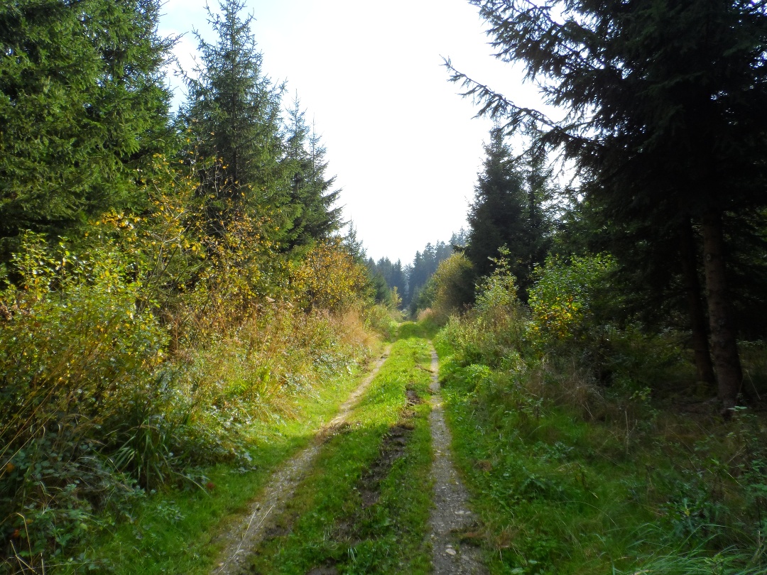
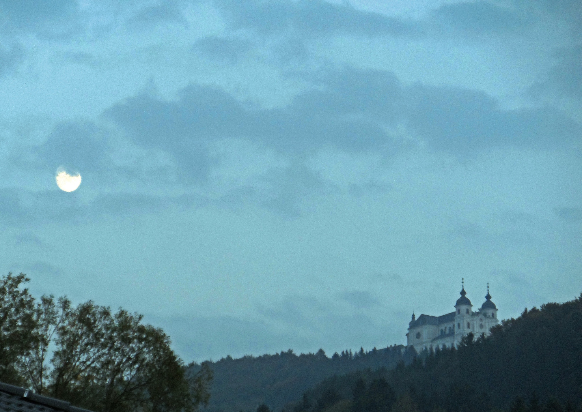
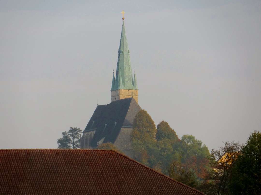

Starting from the zoo and Salaberg Castle, this stage takes us through the gently rolling hills of the Mostviertel region to Weistrach, St. Peter in der Au and Seitenstetten before finally reaching the pilgrimage basilica on Sonntagberg.
Starting from the zoo and Salaberg Castle, this stage takes us through the gently rolling hills of the Mostviertel region to Weistrach, St. Peter in der Au and Seitenstetten before finally reaching the pilgrimage basilica on Sonntagberg.
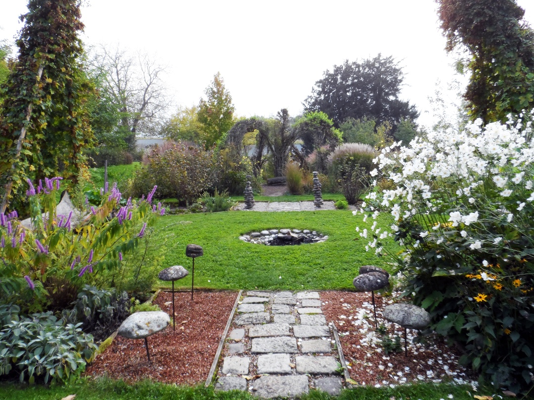
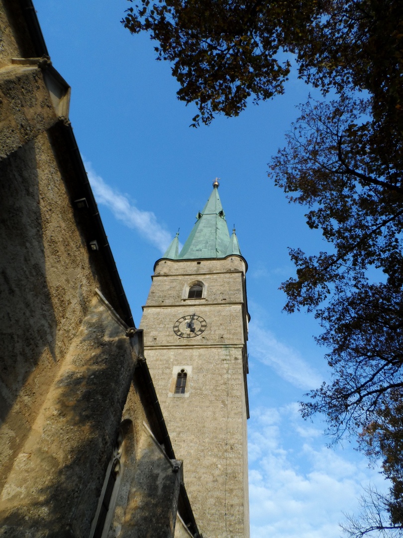
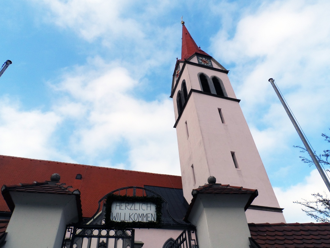
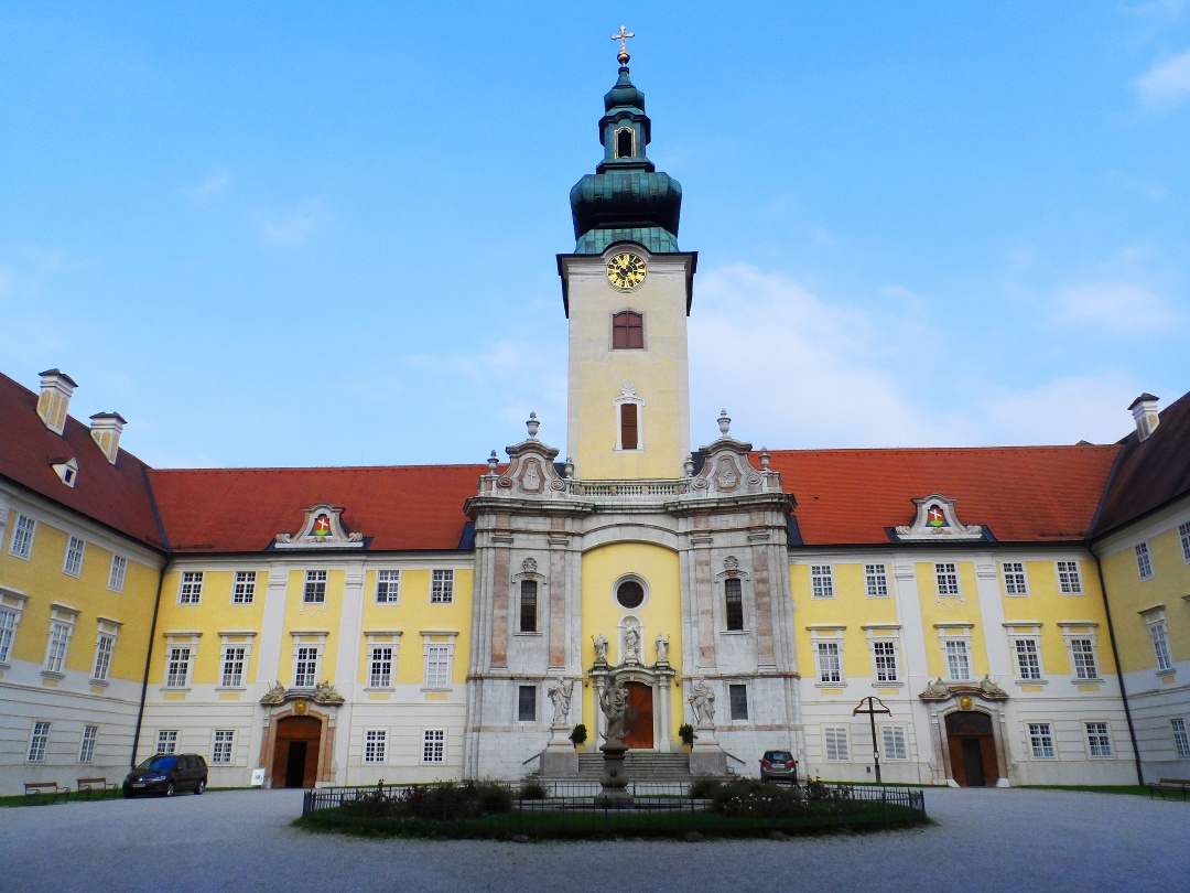
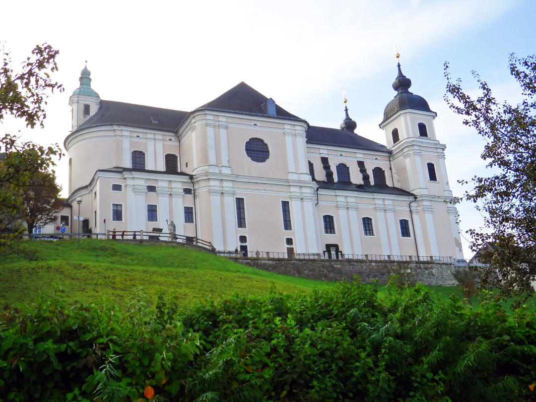
From the zoo in Haag/Salaberg, we walk in a southerly direction through the wild and romantic Salaberg forest, at the end of which we turn right into a beautiful avenue and cross fields and meadows as well as a small wooded area to reach Weistrach. The parish church of the small community, located directly on the Weistrachbach stream, invites pilgrims to visit it with a "Welcome" sign at the entrance. It was built around 1520 and is a work of late Gothic architecture. After the village of Weistrach, we pass several small chapels and wayside shrines before reaching St. Peter in der Au. St. Peter is particularly impressive due to its beautiful townscape with its many old buildings, the church and the moated castle, which are connected by a bridge. The parish church of St. Peter and St. Paul is, like the church in Weistrach, a late Gothic fortified church, but it was first mentioned in a document around 1210. It is interesting to note that the area we are walking through here was once part of the Celtic and later Roman province of Noricum. The next highlight of this stage awaits us with the so-called "Vierkanter Gottes", in Seitenstetten to the east of St. Peter. Of course, this is not a farm, but the well-known Benedictine abbey of Seitenstetten. Situated in the middle of the hilly landscape of the Mostviertel region, the monastery has shaped people, culture and nature for centuries and is home to baroque art treasures as well as a particularly beautiful historic monastery garden with themed gardens and paths (e.g. the "Via Rosa"). We leave Seitenstetten on a narrow road lined with birch trees between the abbey and the abbey garden and then turn left onto a path lined with pear trees. At Hofing, a longer ascent to the Blümelsberg (526m) begins, during which we pass traditional Vierkanter farms, pear trees and a game reserve. At the Karl-Lammerhuber-Blick (large stone on the side of the path), we enjoy a wonderful view of Biberbach and the gentle hilly landscape of the Mostviertel region, before we start the descent and continue towards Rosenau. In Rosenau, a visit to the Military History Museum is particularly recommended before we begin the strenuous ascent to the Sonntagberg. Once at the top, we weary pilgrims are amply rewarded for our exertions by the magnificent sight of the Sonntagberg pilgrimage basilica and enjoy the wonderful views.
On a pilgrimage, your backpack really should contain only the bare essentials! However, since this route is an alternative to the classic Mariazellerweg, a GPS device is very helpful for navigation.
From Salaberg, we follow Hiking Trail 493 to Himsental; from there, we take Trail 492, first walking a short distance along the state road toward the southwest and then through the Salaberg Forest. We now join the Mostviertel Circular Hiking Trail 454 and follow it to Weistrach; from there, we continue on Hiking Trail 356 to St. Peter in der Au and then on Trails 359 and 351 to Seitenstetten Abbey. From Seitenstetten Abbey, we hike southeast along Trail 351. This trail coincides in places with the Mostviertel Panorama Trail and, up to Haiderholz, with the Most Fruit Trail 373, where information boards provide details about fruit growing and cider production. We follow Trail 351 over the Linsberg near Biberbach, where you can enjoy a wonderful view of the Alpine foothills. We continue on Trail 382 to the Oismühle, where we cross the Ybbs River via the Ybbssteg—the “Golden Gate Bridge of the Mostviertel”—and arrive in Rosenau. From here, we continue on Hiking Trail 254 up to the Sonntagberg.
There is a large, free parking lot at Salaberg Zoo (below the castle).
Coming from Salzburg, take the A1 to the Haag exit (142). Then turn right onto Haager Straße (B42) (follow signs for Steyr/Stadt Haag/Seitenstetten).
If coming from Vienna, also take the Haag (142) exit.
You can reach the town of Haag either by the Austrian Federal Railways (ÖBB) or the Westbahn (get off at the Stadt Haag or Haag stations).
Mostviertel Tourismus GmbH
Töpperschloss Neubruck, Neubruck 2/10, 3283 Scheibbs
T +43/7482/20 444
info@mostviertel.at , www.mostviertel.at
Mariazeller Land Tourist Board
Hauptplatz 13, 8630 Mariazell
Tel.: +43 (0)3882/23 66
Upper Austria Tourism Information
Freistädter Straße 119, 4041 Linz
info@oberoesterreich.at
www.wandern.at
Useful Maps:
ÖK 4319 Linz, ÖK 4320 Perg, ÖK 4326 Steyr,
ÖK 4202 Ternberg, ÖK 4203 Waidhofen,
ÖK 4203 Ybbsitz, ÖK 4204 Lunz, ÖK 4210 Mariazell
All at a scale of 1:50,000 (also available as a 1:25,000 enlargement
)
F&B Hiking Maps 261 (1:50,000), 051 (1:50,000),
052 (1:50,000), 5031 (1:35,000)
Kompass 22 (Mariazell, Ötscher, Erlauftal, 1:25,000),
Kompass 212 (Hochschwab, Mariazell, Eisenwurzen, 1:50,000),
Kompass 202 (Around Linz, Mühlviertel, Wels, Steyr, 1:50,000)
Important Phone Numbers:
Alpine emergency number: 140, International emergency number: 112
Recommended reading:
Pilgrimage Routes to Mariazell – Volume West + South, www.styriabooks.at
Hiking in the Mariazeller Land and Ötscher Regions, www.kral-verlag.at
Pilgrimage Routes, www.kral-verlag.at
Letzte Änderung: 3 Aug 2026