

gpx_addressbase_16991
Path Kirchschlag - Hutwisch
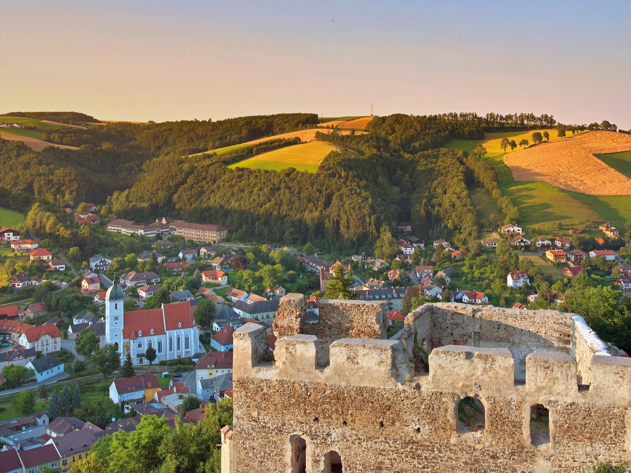
Hiking tour Starting from Grandits Inn in Kirchschlag
- Difficulty: Difficult
- Distance: 7,79 km
- Duration: 2:22 h
- Ascent: 496 m elevation gain
- Descent: 61 m elevation gain
Hike to the Hutwisch lookout tower. The viewing platform with 104 steps offers breathtaking views at 896 meters above sea level.
- Starting point of the tour
- Grandits Inn in Kirchschlag
- Tour destination
- Hutwisch lookout tower
- Difficulty: Difficult
- Distance: 7,79 km
- Duration: 2:22 h
- Ascent: 496 m elevation gain
- Descent: 61 m elevation gain
- Fitness level required:2/6
- Overall experience:6/6
- Scenery:6/6
- Lowest point433 m
- Highest point896 m
- Nice views
- With refreshment stops
- Suitable for families and children
Description
From the Grandits Inn Hotel slightly outside the center of Kirchschlag in the Bucklige Welt, it takes a little over two hours to reach the lookout tower on the Hutwisch. The hike leads over paved paths and through forests, through Maierhöfen and Ortbauer to Hochneukirchen and finally to the highest peak of the Bucklige Welt, the Hutwisch. Upon arrival, climbing the 104 steps on the lookout tower on the Hutwisch is worthwhile. Here you can enjoy views as far as Lake Neusiedl and the Schneeberg!
- safety instructions Your hikes in the Vienna Alps should be a completely enjoyable and safe experience. Please therefore note the following:PreparationWhen choosing the route, make sure it matches your experience and fitness. Inform yourself in advance about the weather forecast. Weather in the mountains can change surprisingly quickly. Always start out well equipped accordingly (e.g., rain protection).Check whether the huts and snack stations you plan to visit are open. Inform someone about your chosen route and planned return before you set off.More safety tips for your hike can be found here.
- Equipment Always take suitable maps with you. Wear sturdy shoes adapted to the route, bring sun and rain protection as well as water and a snack. Take your mobile phone and save the mountain rescue emergency number: 140
- Route description The hike starts at the Grandits Inn in Kirchschlag and follows the E2 trail marker, initially steeply uphill to the height of the Maierhöfen settlement. Then the village of Maierhöfen is crossed, passing the farmhouse to the chapel, then briefly left and immediately right onto the ridge path. Follow the ridge path straight to Ortbauer. On the paved road, keep left for about 150 meters, then turn right onto the trail. Through the Wolfsbühel forest follow the moderately ascending yellow-marked E2 trail until crossing a road. Continue on the yellow-marked trail, turn left towards Harmannsdorf and follow the path leading to the lookout tower on the Hutwisch.
- Parking Parking available in front of the Grandits Inn hotel.
- Getting there Via the South Motorway A2: Coming from Vienna take the Krumbach exit, coming from Graz take the Aspang-Zöbern exit.Via the B54 past Bad Schönau, after about 7.5 km to Kirchschlag in the Bucklige Welt. Turn right after entering the village. After about 200 m, Hotel Grandits.
- Public transport More information can be found at www.oebb.at and www.vor.at
- Editor’s tip Combine your hike with a stay in Kirchschlag. Offers at the Hotel zur Post- Hönigwirt are available for immediate online booking.
Recommended period
J
F
M
A
M
J
J
A
S
O
N
D
Vienna Alps in Lower Austria, www.wieneralpen.at, +43 / 2622 / 78960
Opening hours: Mon - Thu 08:30 - 16:00 / Fri 08:30 - 13:00
Adventure Region Bucklige Welt South, www.buckligewelt.info, +43 / 676 3509806
Letzte Änderung: 16 Mar 2026