Ramingerweg-Dambergblick 334
Use our AI guide
Do you have any questions about your stay?

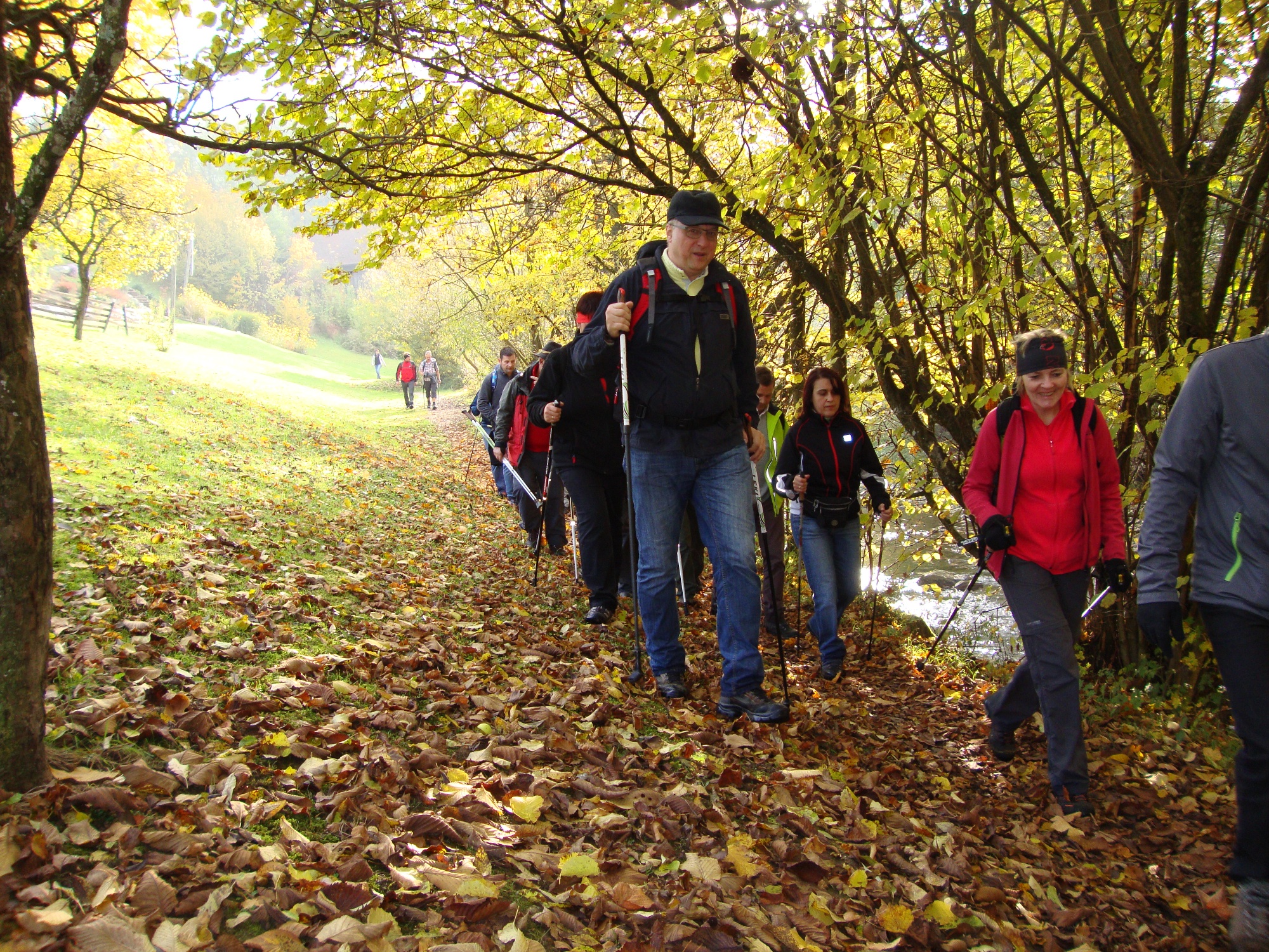
Hiking tour Starting from Behamberg, hiking routes starting point opposite the church square
Explore the Ramingtal valley between Upper and Lower Austria.
Explore the Ramingtal valley between Upper and Lower Austria.
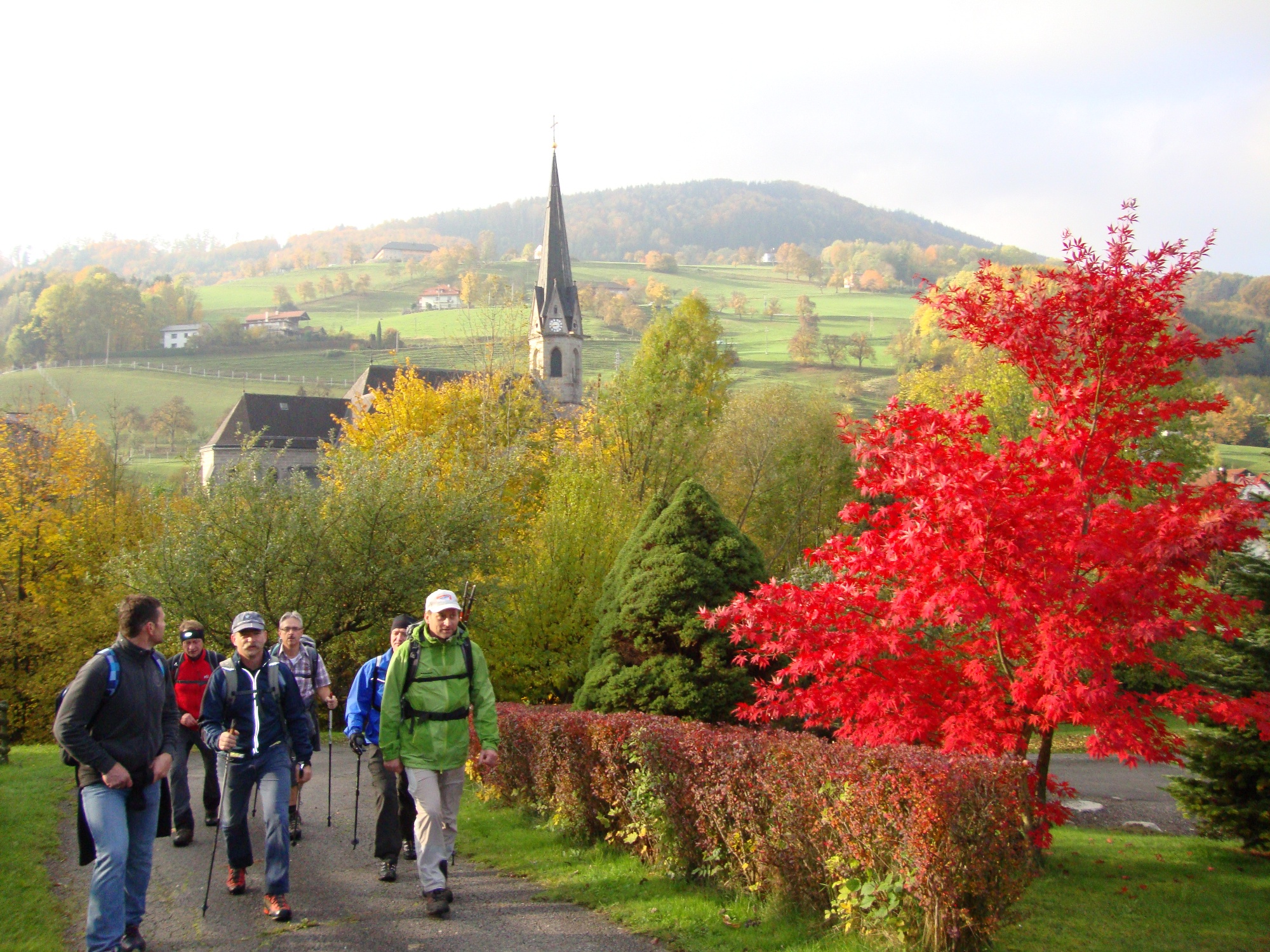
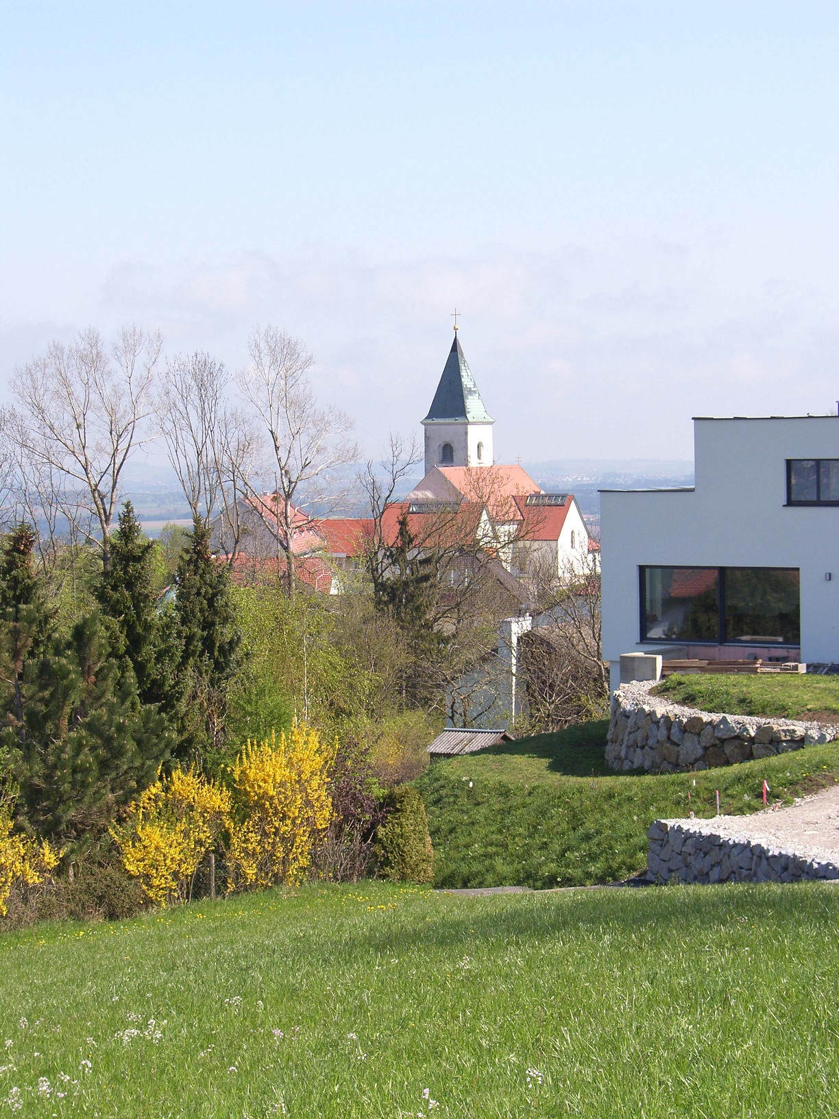
The trail leads to Kleinraming in Upper Austria. Directly in front of the hiker is the 881-metre-high Damberg, which forms the link to the Enns Valley.
No special equipment necessary
From the starting point in the town center of Behamberg, the path leads southwest along the main street. Shortly before leaving the town, a path branches off to the left and leads up a meadow path towards Daxberg. On the meadow path, you reach the service road Poststraße and from there again onto a field path that leads to the Karlmayr Chapel. Further downhill, always with the parish church of Kleinraming in sight, an asphalted and gravel road leads into the town center of Kleinraming. After visiting the Marian church of Kleinraming, the same path leads back to the four-sided "Schaumberger" where the path crosses again with Poststraße. Along Poststraße and then left to "Penzn" over a field path to the game enclosure. Alongside the game enclosure to the meadow and to Kindlehen. Via the service road Kindlehen, the path leads back to the village and the starting point of this rewarding circular route.
Trail marker: Ramingerweg-Dambergblick 334
Sufficient parking spaces are available in the town center.
Via federal roads 122 or 42 (15 km from the Haag motorway junction).
Public bus service to Behamberg
Culinary delights await at the inn in the town center of Behamberg with a wonderful view from the guest garden.